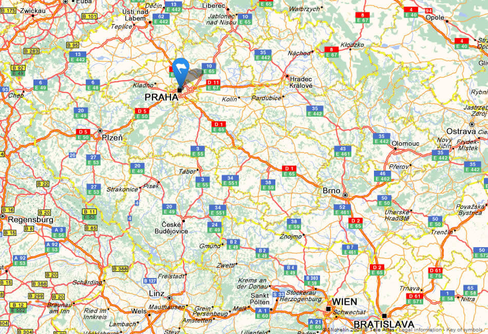
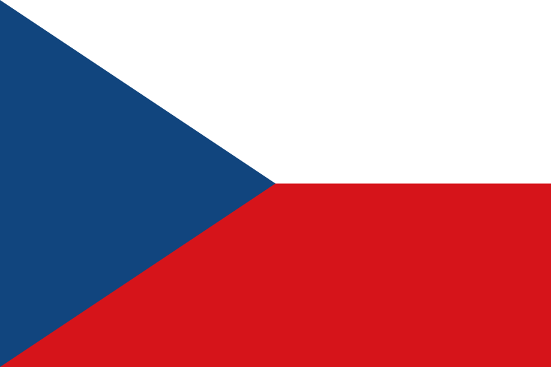
Czechia Map
Discover the location of Czechia on the World map and explore the stunning landscapes, vibrant cities and rich cultural heritage of this fascinating country.
The Czech Republic is a landlocked country located in Central Europe, known for its beautiful castles, ornate architecture, rich history, and world-famous beer culture. Find out more on Czechia detailed map.
Where is located Czechia on the Map
Czechia is located in Central Europe. It is bordered by Germany to the west, Poland to the northeast, Slovakia to the east, and Austria to the south.
Welcome to the Czech Republic map page! Located in Central Europe, the Czech Republic is a small country with a rich history and culture. From the stunning architecture of Prague to the rolling hills of the Bohemian countryside, this country is a destination for all types of travelers. On this map, you can explore the different regions of Czechia, including its many castles, national parks, and charming towns. Whether you're planning a trip or simply curious about this fascinating country, we hope you enjoy exploring the Czechia through our map.
For more about Czech Republic >>
Unlocking the Charms of Prague: The Ultimate Top 10 Experiences Guide
Please subscribe on "World Guide" channnel on Youtube at youtube.com/c/WorldGuide
map of czech republic

CZECH REPUBLIC MAP

Brief information about Czech Republic
The Czech Republic is a country located in Central Europe, bordered by Germany to the west, Poland to the northeast, Slovakia to the southeast, and Austria to the south. It has a population of around 10.7 million people and covers an area of approximately 78,900 square kilometers.A Collection of Czech Republic Maps and Czech Republic Satellite Images
map of czech republic

czech republic location map

where is czech republic in the world

czech republic map

czech republic map

czech republic map

czech republic physical map

czech republic political map

czech republic road map

czechrepublic relief map

map of czech republic

map czech republic

map czech republic europe

map of czech republic

maps of Czech Republic

satellite image of czech republic

Czech Republic Earth Map

- Head of Performance Marketing
- Head of SEO
- Linkedin Profile: linkedin.com/in/arifcagrici
Largest Cities' Map of Czech Republic
Ostrava Map Olomouc Map Plzen Map Praha Map Brno Map Liberec Map
Addresse: Hakarinne 2 Espoo, Uusimaa - Finland 02210
Web: istanbul-city-guide.com
Email: [email protected]
Phone: +358 44 934 9129
Web: istanbul-city-guide.com
Email: [email protected]
Phone: +358 44 934 9129
Copyright istanbul-city-guide.com - 2004 - 2025. All rights reserved. Privacy Policy | Disclaimer


