Map of Africa
Explore Map of Africa, Africa map, world countries map, satellite images of the Africa, largest cities maps, political map of , physical maps, driving directions, continents maps and from space views.
For more Africa Map
For more Africa Maps
For more Africa Satellite Map >>
Map of Africa

Where is Africa in the World?

Africa Satellite Image

AFRICA MAP : Countries Maps and Satellite Images from Space
Please subscribe on "World Guide" channnel on Youtube at youtube.com/c/WorldGuide
Africa Countries Map
Algeria Map Angola Map Ascension Island Map Benin Map Botswana Map Burkina Faso Map Burundi Map Cameroon Map Cape Verde Map Central African Republic Map Chad Map Comoros Map Congo Map Djibouti Map Egypt Map Equatorial Guinea Map Eritrea Map Ethiopia Map Gabon Map Gambia Map Ghana Map Guinea Map Guinea Bissau Map Ivory Coast Map Kenya Map Lesotho Map Liberia Map Libya Map Madagascar Map Malawi Map Mali Map Mauritania Map Mauritius Map Mayotte Map Morocco Map Mozambique Map Namibia Map Niger Map Nigeria Map Rwanda Map Saint Helena Map Sao Tome and Principe Map Senegal Map Seychelles Map Sierra Leone Map Somalia Map Somaliland Map South Africa Map Sudan Map Swaziland Map Tanzania Map Togo Map Tristan da Cunha Map Tunisia Map Uganda Map Western Sahara Map Zambia Map Zimbabwe MapA Collection of Africa Maps and Africa Satellite Images
map of africa

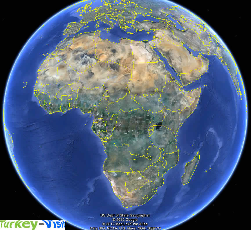
Africa Earth Map

where is africa in the world

africa map

africa map

africa maps

africa physical map

africa bantu languages

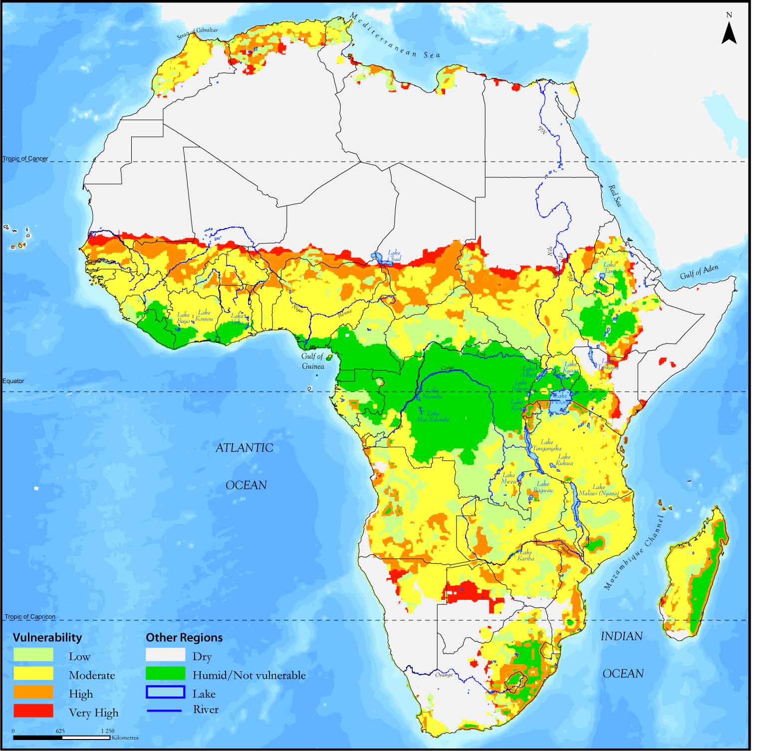
africa climate map
africa countries map

africa desert map
africa earth map
africa ethnic groups map 1996

africa ethnics group map 1996

africa ethnics map

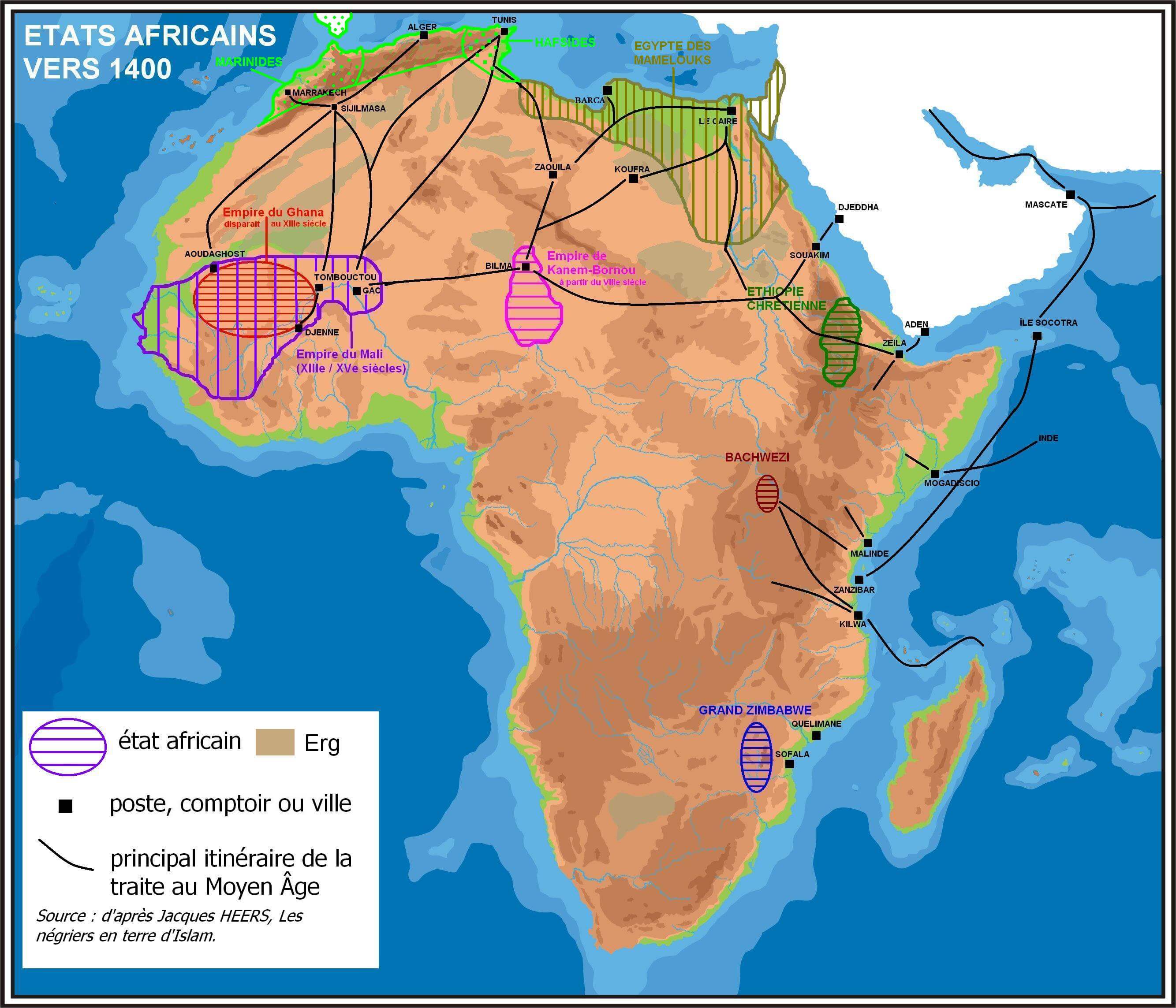
africa historical map 1400
africa hiv aids map 2004
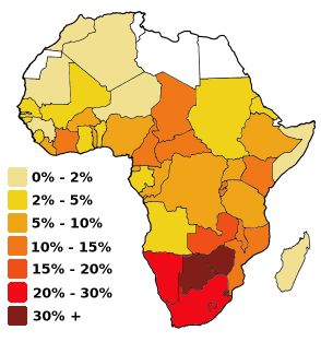
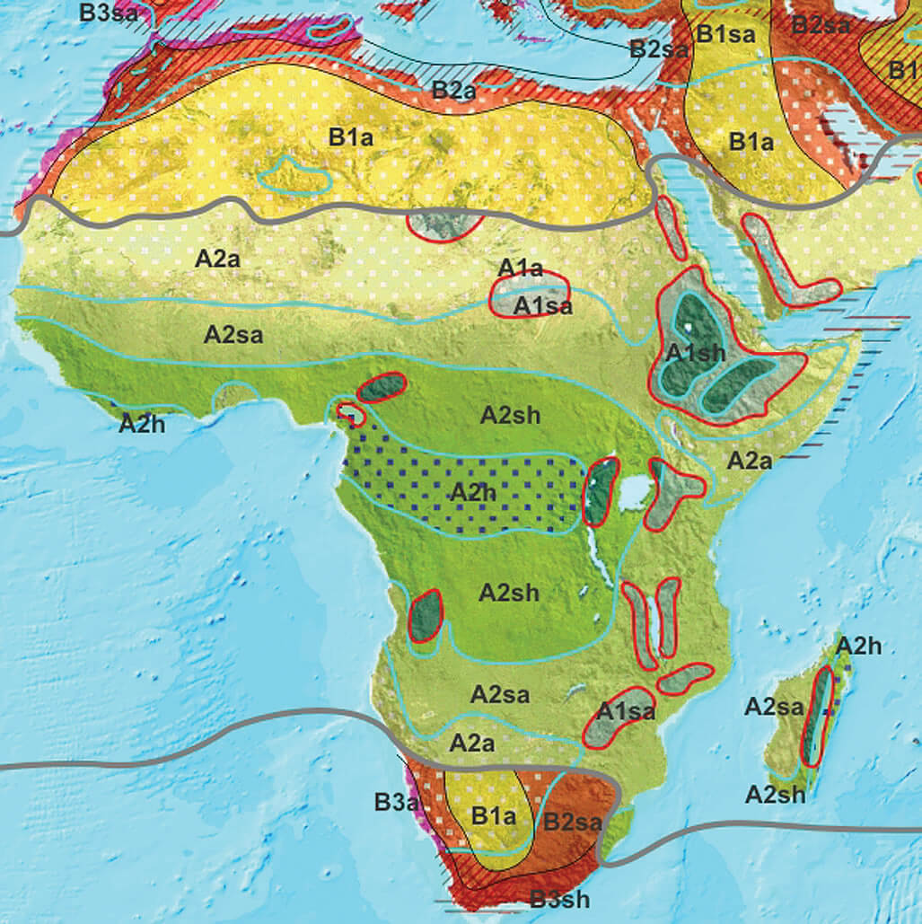
africa koppen map

africa language map

africa languages map

africa main roads map

africa map

africa map

africa map at night from space

africa map south africa

africa maps

africa muslim map

africa outline map

africa physical map

africa physical map countries

africa political map

africa regions map

africa relief map

africa river map

africa satellite image

africa satellite image map

africa satellite map

african continent countries political map

afro eurasia map

colonial map of africa 1913

countries map of africa

independence map of african countries

large africa political map

map of africa

map of north america

map of south africa

maps of africa

mauritius beach

north africa map

northern africa middle eas map 1995

northern africa middle east map 1995

physical map of africa

physical map of africa

physical maps of africa

religion distribution map of africa

south africa map

south africa map

topography map of africa

vegetation map of africa

Africa Google Map, Street Views, Maps Directions, Satellite Images
istanbul-city-guide.com offers a collection of Africa map, google map, Africa atlas, political, physical, satellite view, country infos, cities map and more map of Africa.
Addresse: Hakarinne 2 Espoo, Uusimaa - Finland 02210
Web: istanbul-city-guide.com
Email: [email protected]
Phone: +358 44 934 9129
Web: istanbul-city-guide.com
Email: [email protected]
Phone: +358 44 934 9129
Copyright istanbul-city-guide.com - 2004 - 2025. All rights reserved. Privacy Policy | Disclaimer

