
A Deep Dive into North America Maps
Embarking on a journey across North America's vast terrains, one can't help but marvel at its eclectic mix — majestic natural wonders, vibrant metropolises, and a rich historical mosaic. To gain a holistic perspective on this sprawling continent, it's essential to explore it through various vantage points, each revealing distinct facets of its character.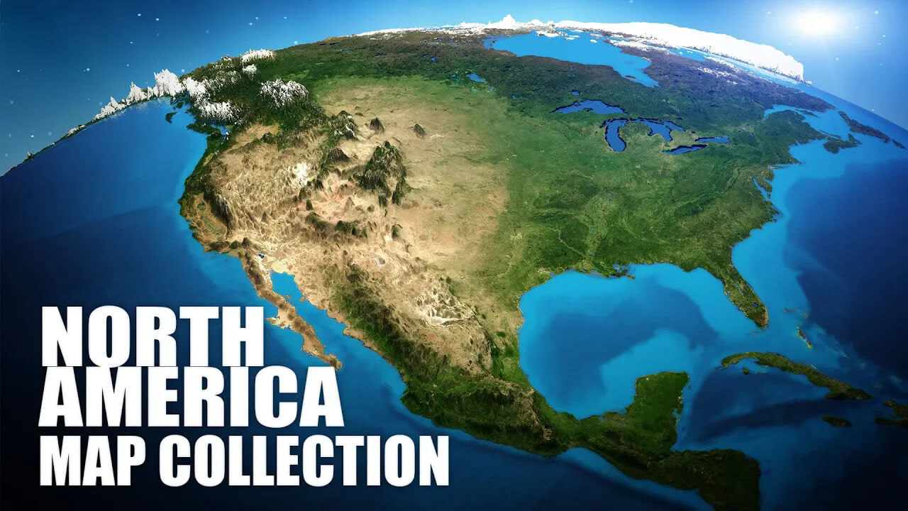
Uncharted North America: A Deep Dive into Maps, Terrain & Cultural Treasures
Please subscribe on "World Guide" channnel on Youtube at youtube.com/c/WorldGuide
In this blog, we've assembled a collection of carefully selected maps, tailored to give readers a comprehensive view. From the soaring heights of the Rockies to the bustling streets of urban hubs like New York and Toronto, these maps offer insights into North America's geography, history, and cultural evolution. Equipped with this cartographic guide, immerse yourself in a multi-dimensional exploration. Ready your digital navigation tools, and let's traverse the vastness of North America together!
1. North America Physical Map
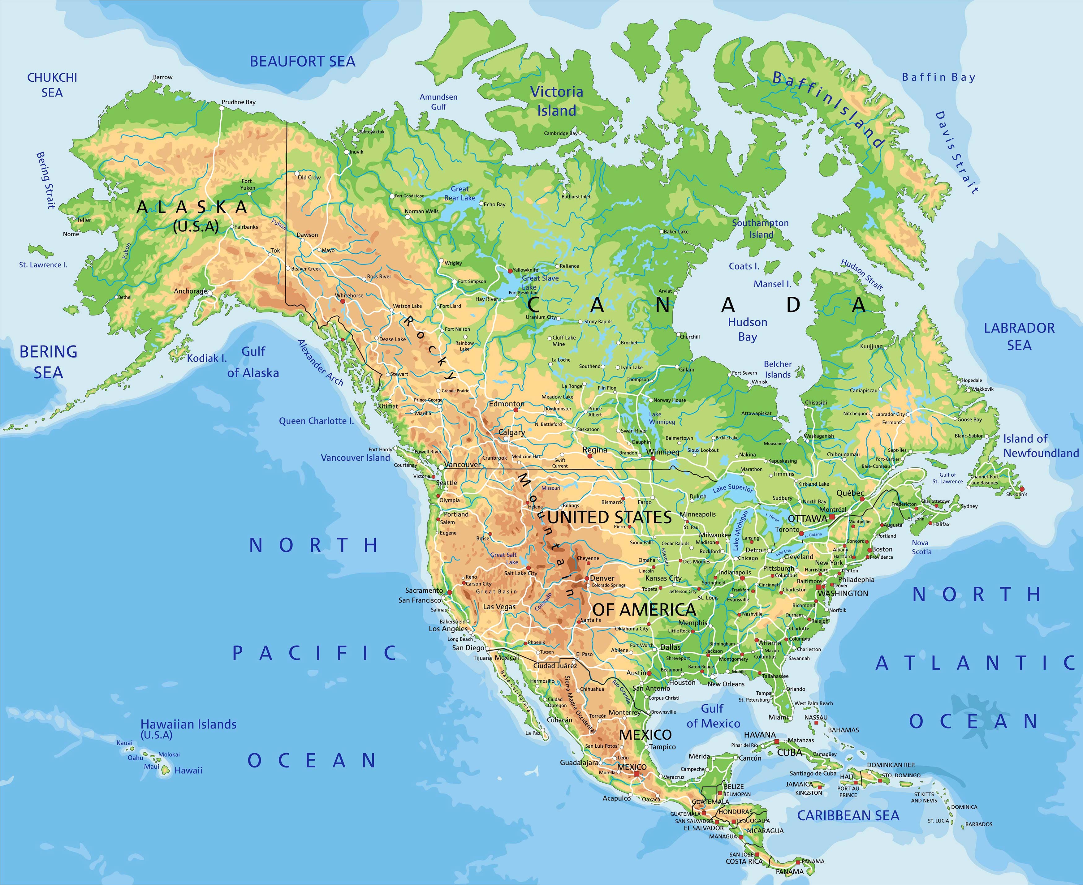
Our journey starts with a Physical Map that showcases the mountains, rivers, plains, and other natural features of North America. Admire the vastness of the Great Plains and the majestic Rockies!
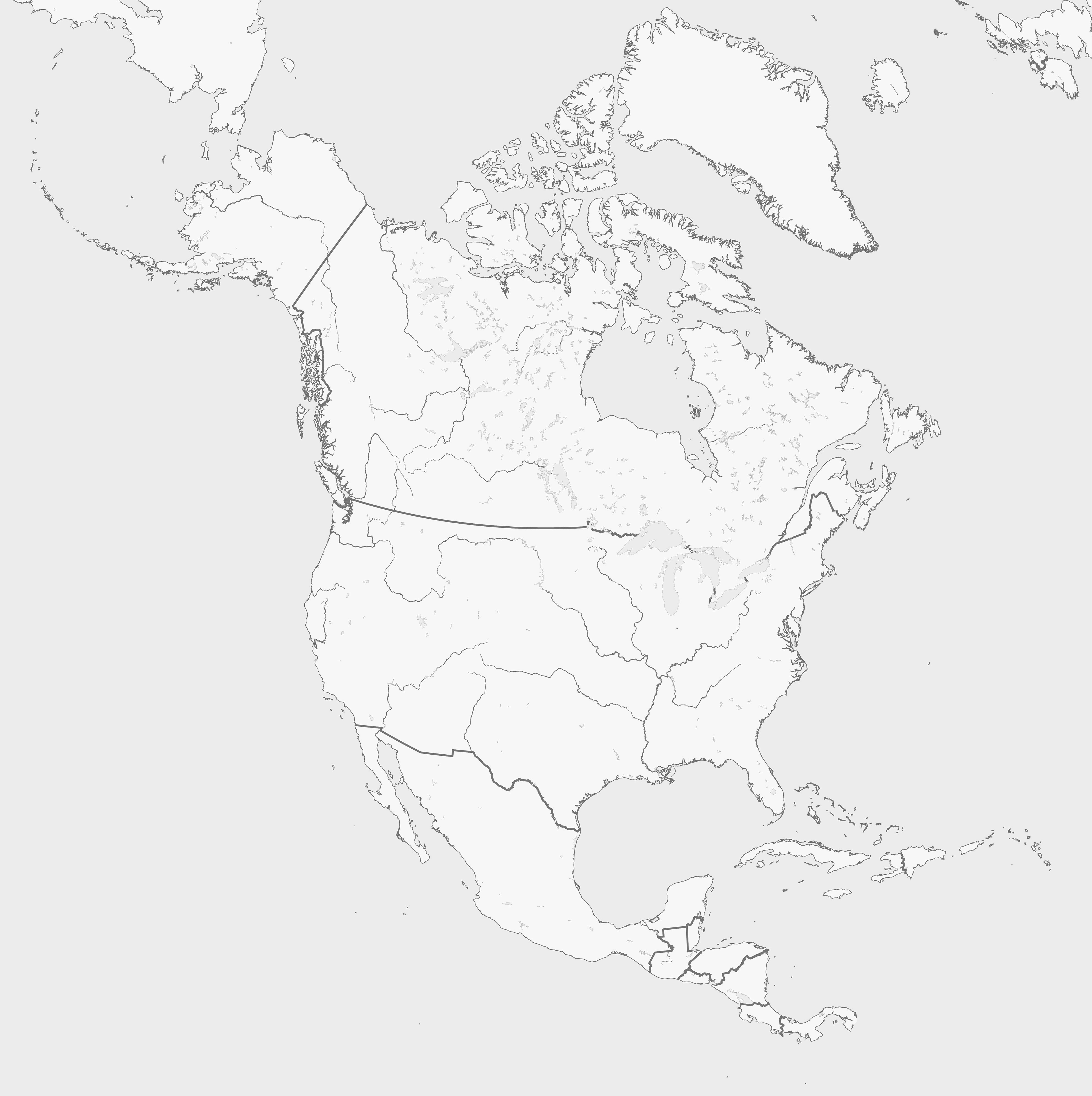
2. North America Political Map
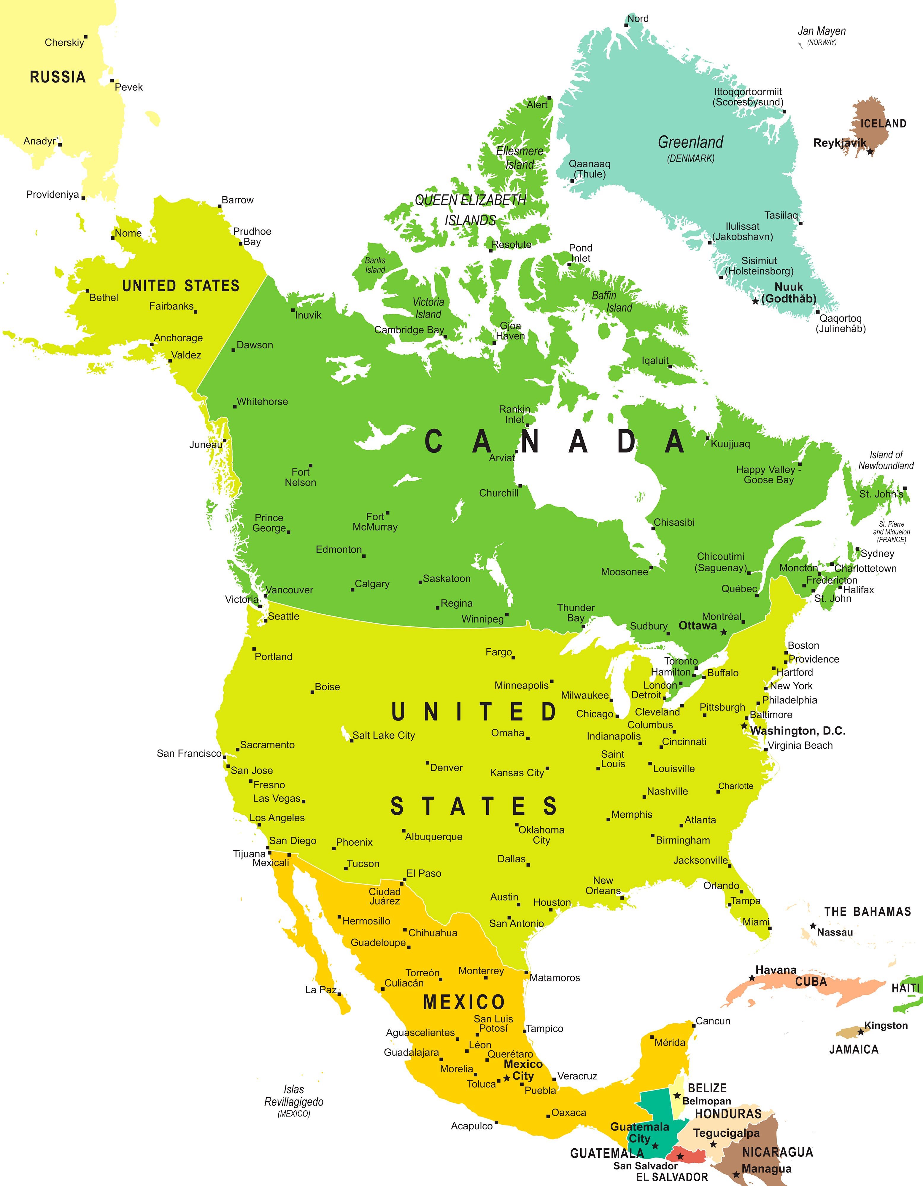
Moving on, our Political Map lays out the countries, their boundaries, and their state or provincial divisions. You'll get a comprehensive overview of how North America is politically organized.
3. North America Topographic Map
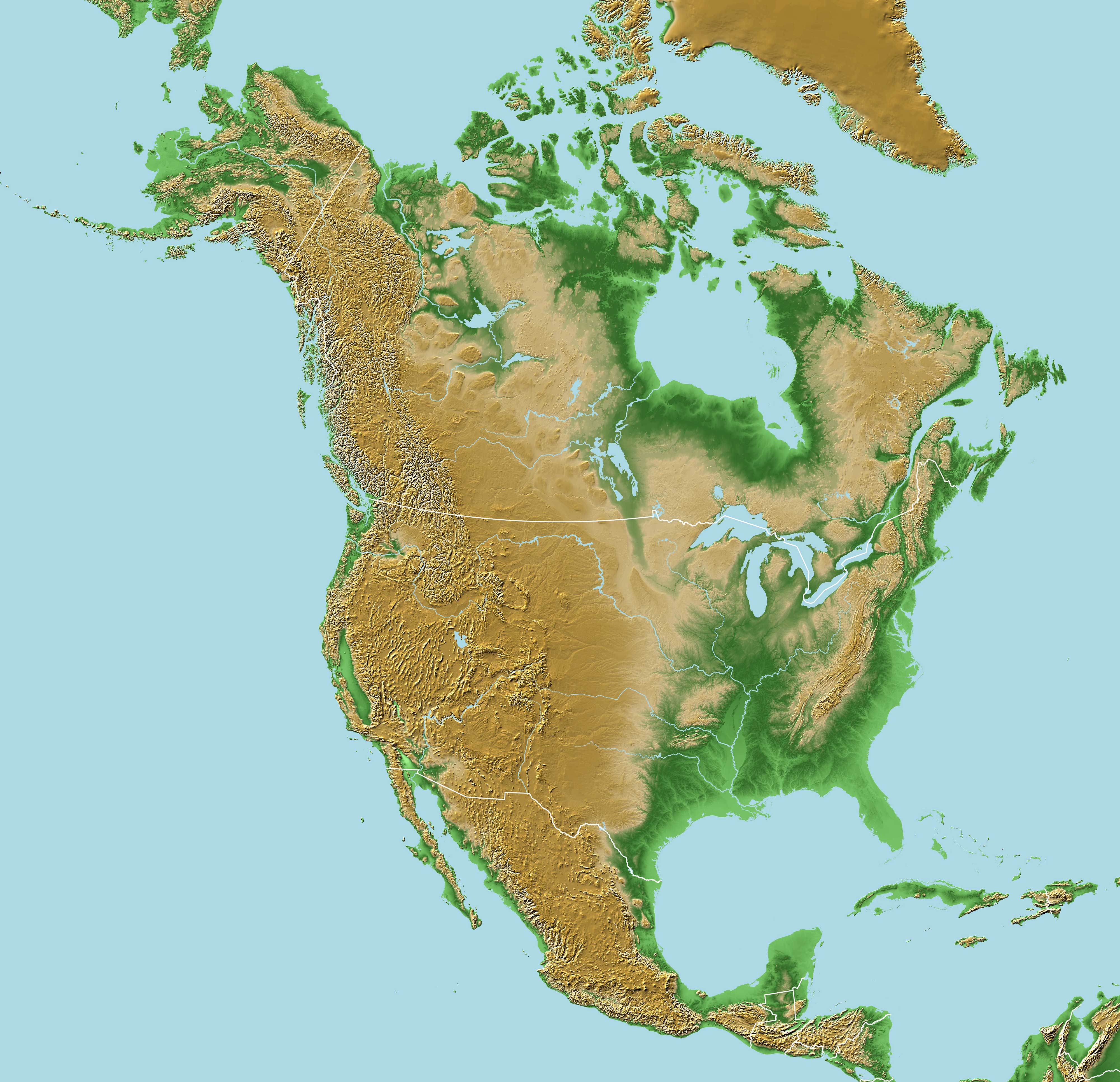
Love elevations? Our Topographic Map provides a detailed representation of the continent's relief, depicting height variations and landform patterns.
4. North America Geological Map
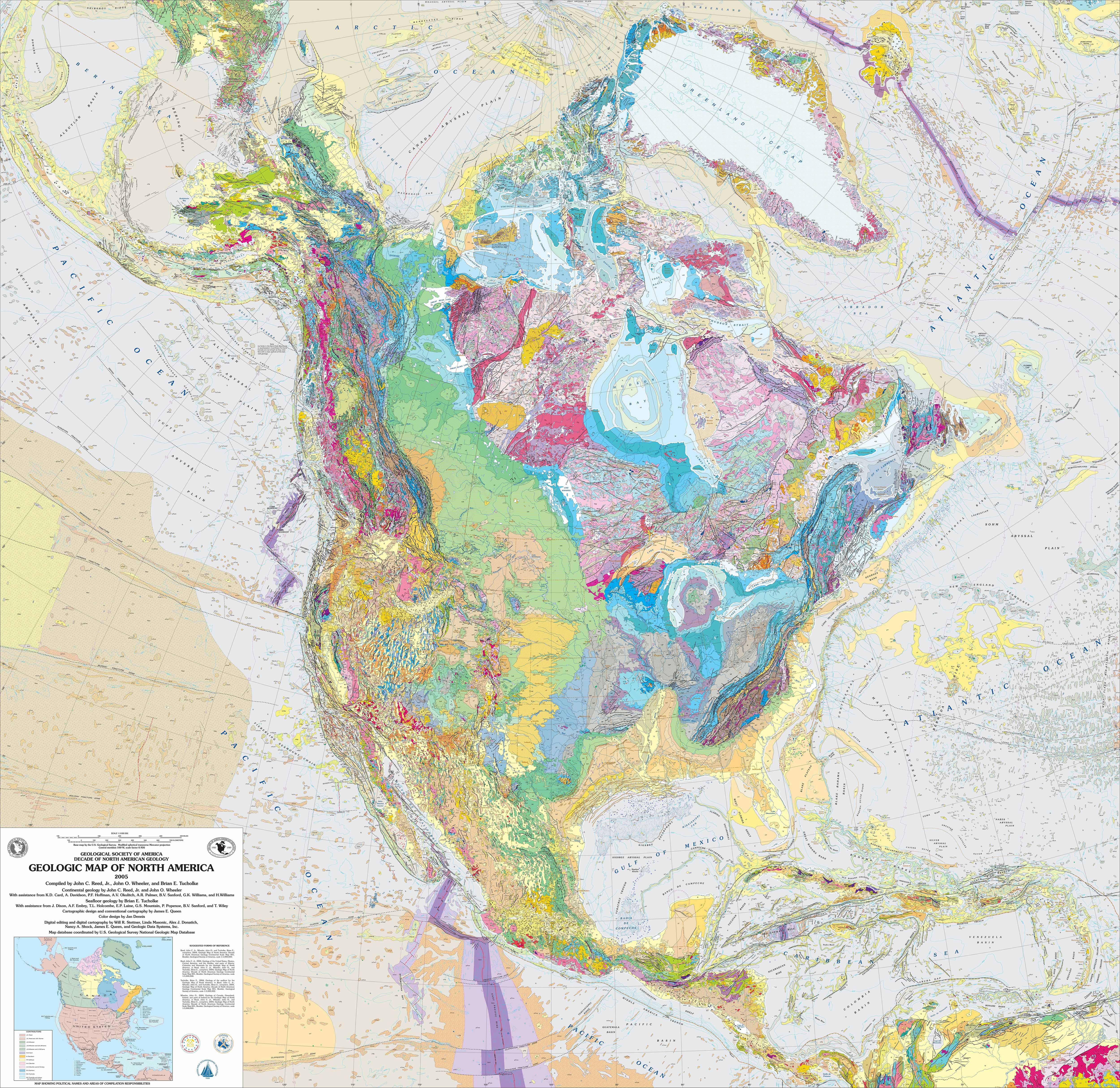
Dig a little deeper (pun intended!) with the Geologic Map, highlighting the rock formations and their ages. Perfect for the geology buffs out there!
5. Countries, Capitals and Major Cities of the North America Map
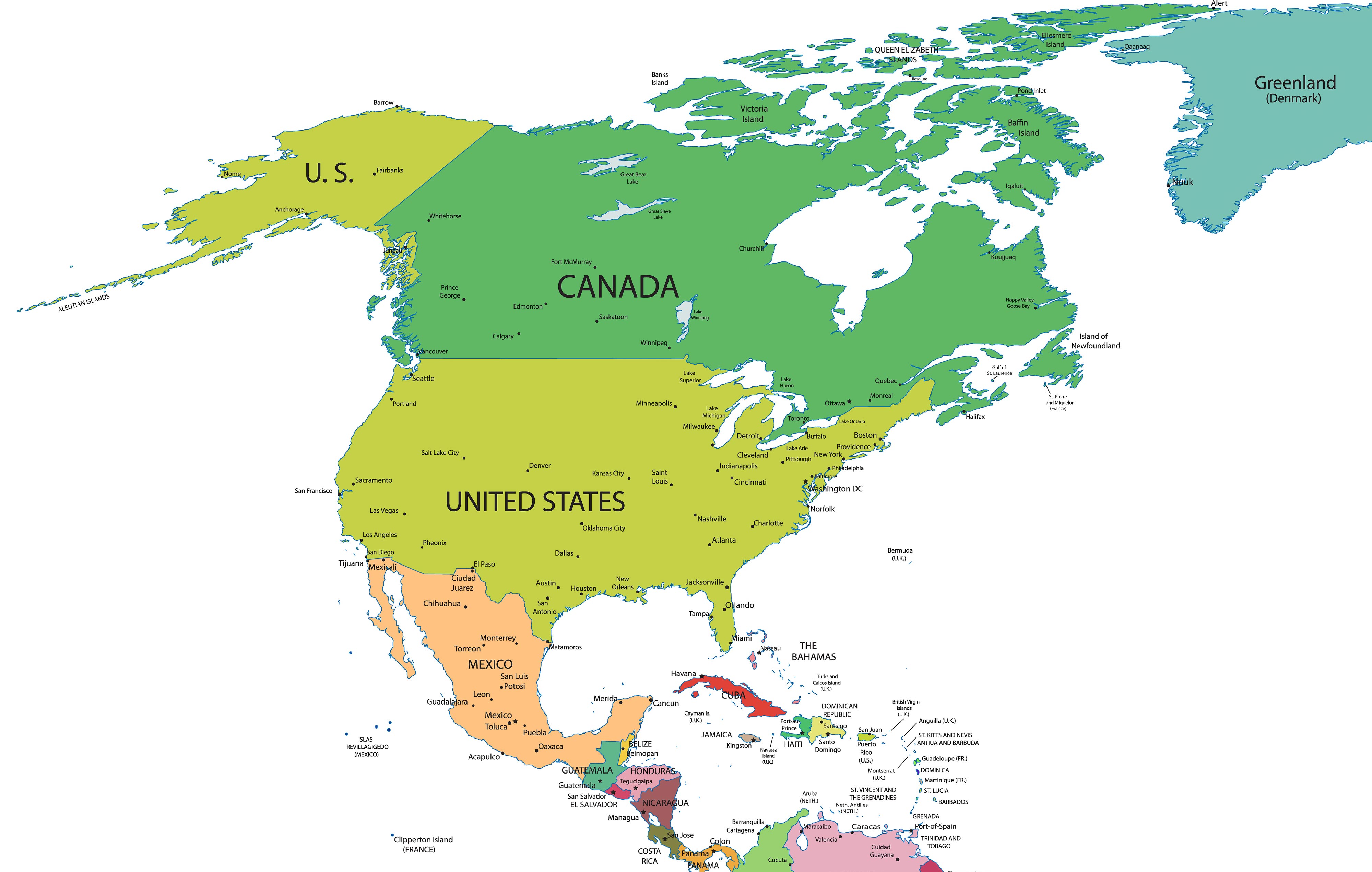
This map is a guide to all the countries, their capitals, and major cities. Handy for those quiz nights!
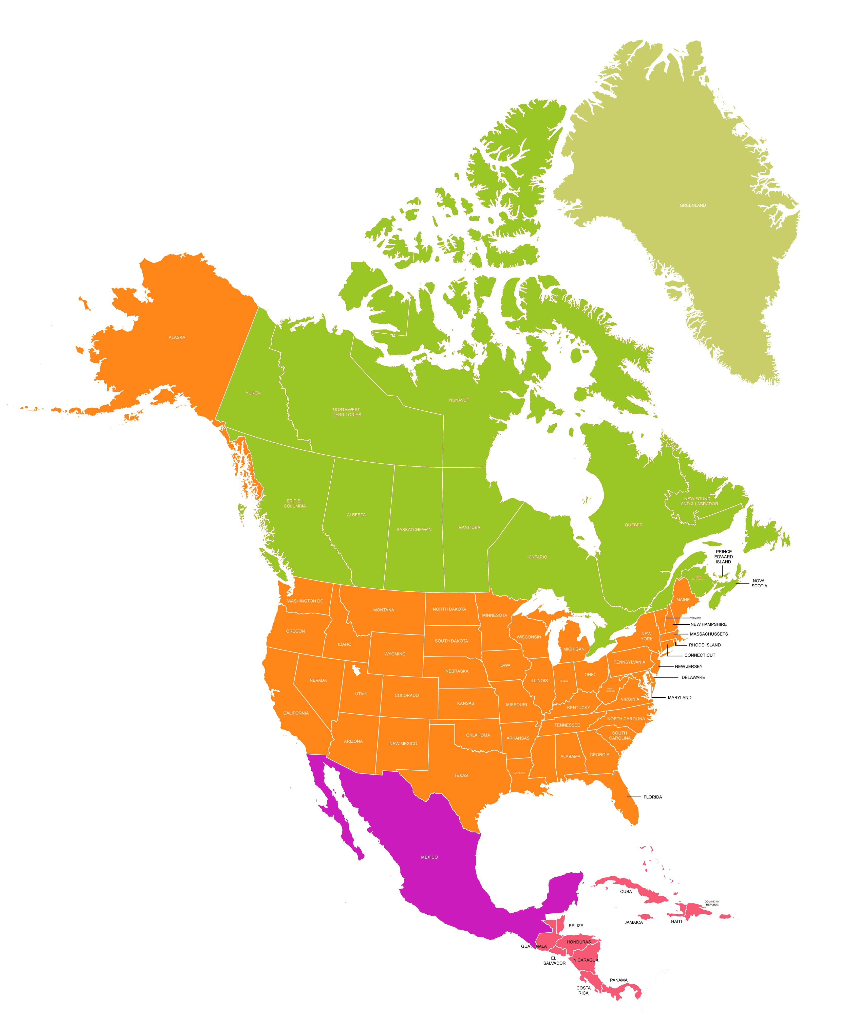
6. North America Map With States and Countries
7. North America Regions Map
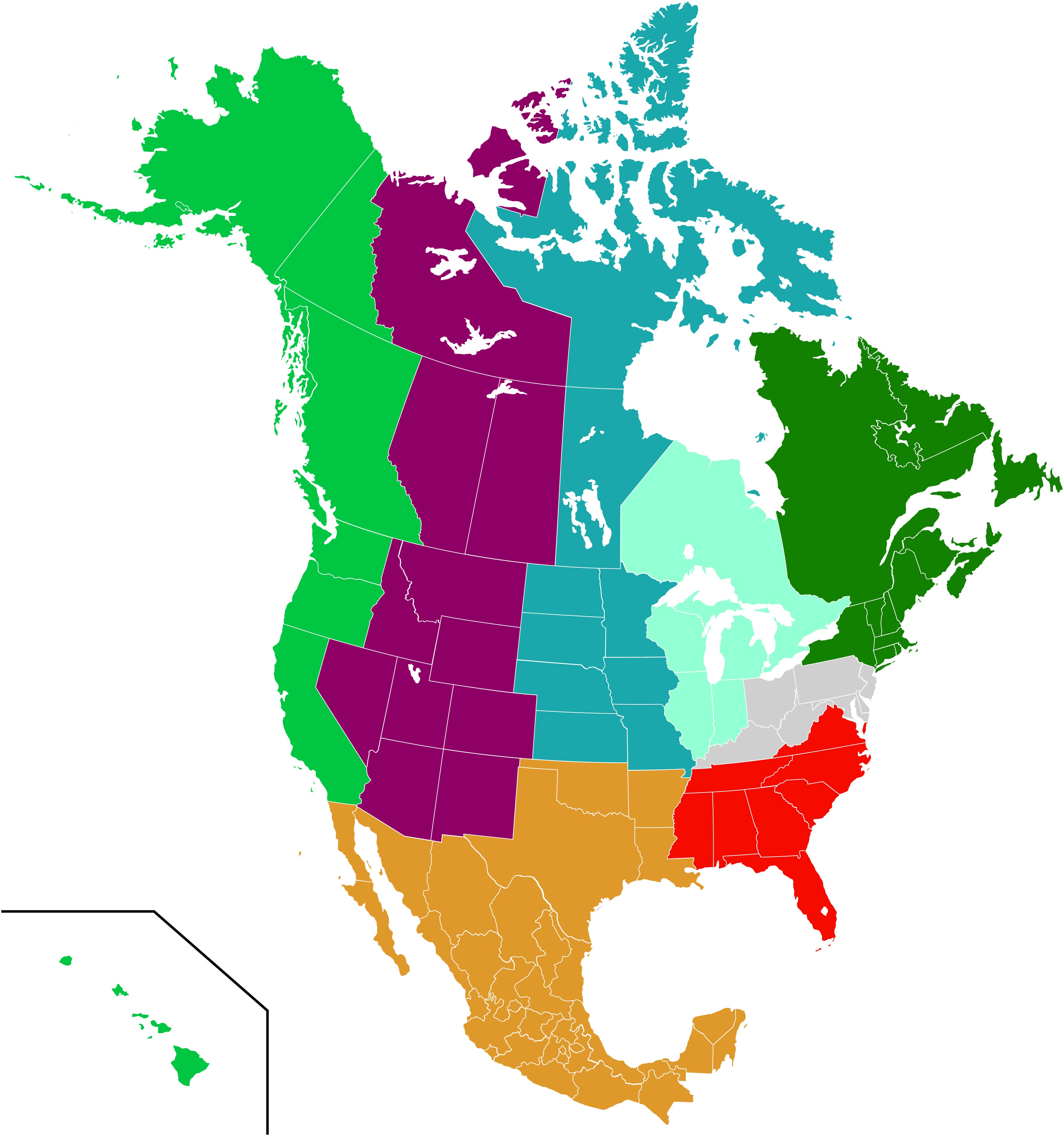
Discover how North America is divided into distinct regions, each with its unique characteristics.
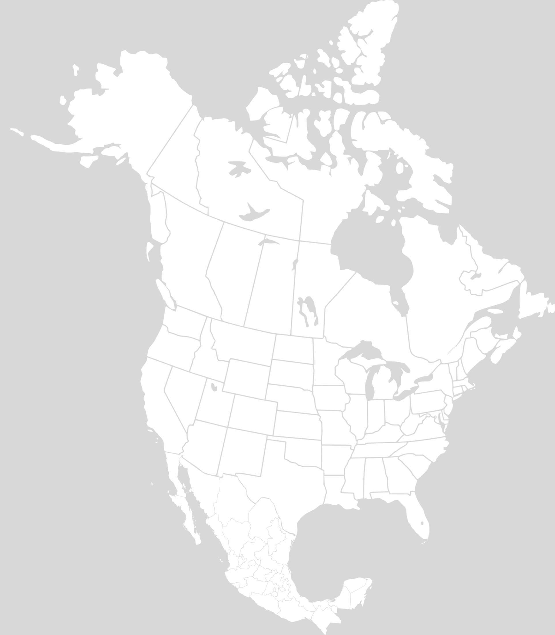
8. North America Blank Map
For students and educators, we offer a Blank Map—perfect for practice and memory tests.
9. North America Blank Map With States
For students and educators, we offer a Blank Map—perfect for practice and memory tests.
10. North America Colonial Map (1750 - Vector)
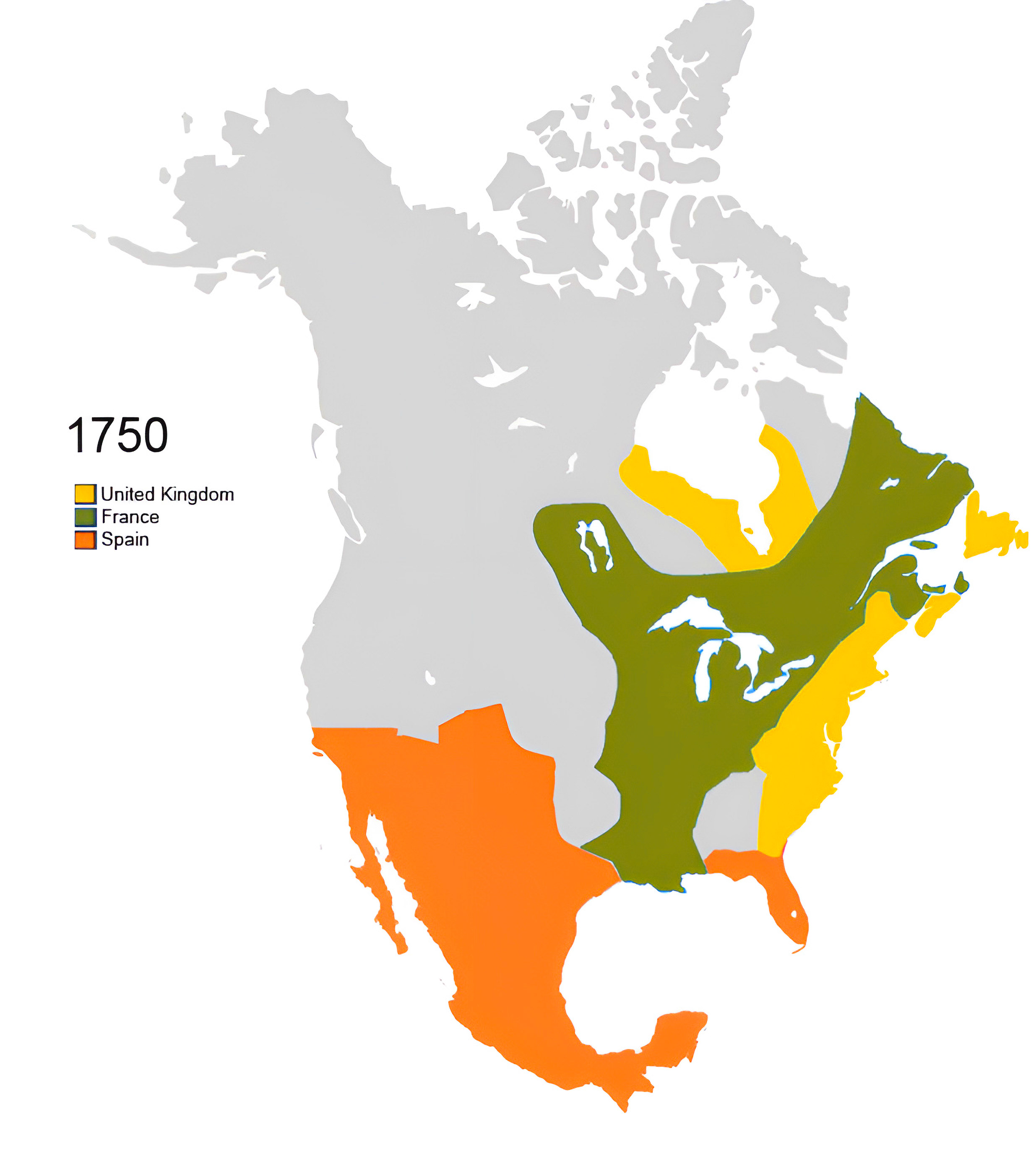
The North America Colonial Map (1750 - Vector) offers a crisp, vector-based depiction of the continent during the mid-18th century, capturing territorial boundaries, major landmarks, and the colonial footprint of the era. A digital journey back in time for history and map enthusiasts alike.
11. North America Colonial Map (1750)

Travel back in time and explore the colonial histories of North America.
12. North America Relief Map
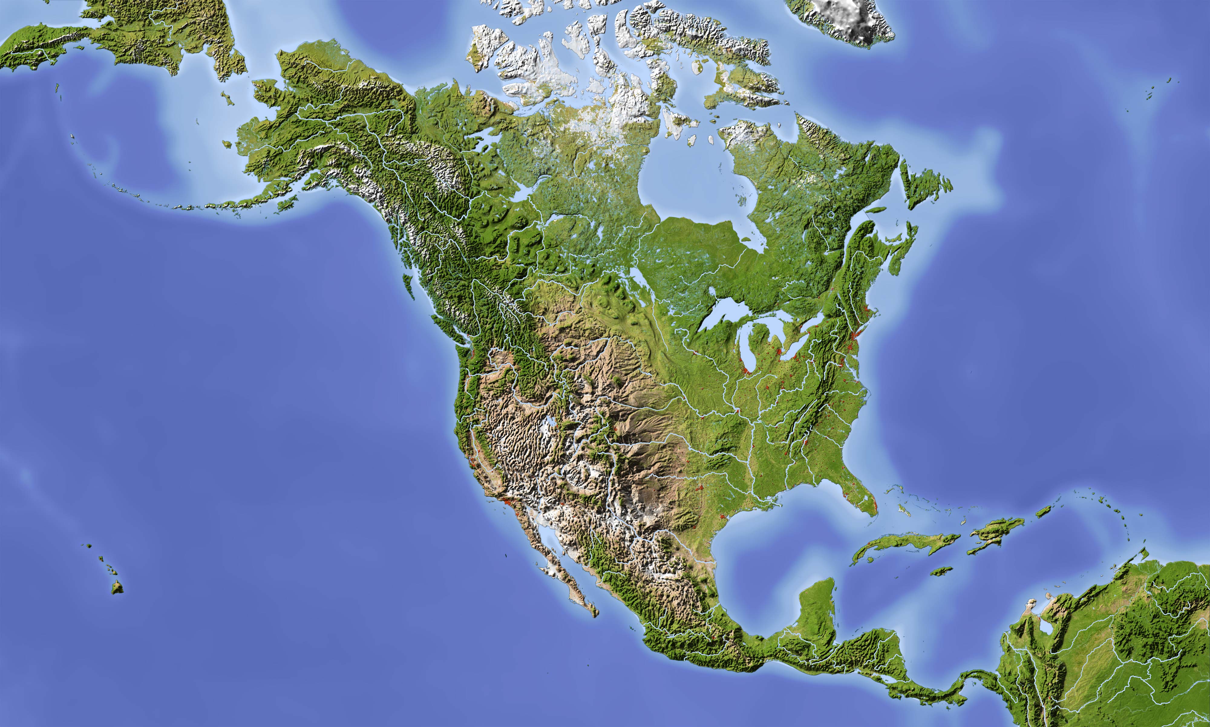
Our Relief Map offers a three-dimensional view, providing an artistic representation of North America's terrains.
13. Hydrological Divides of North America Watersheds Map
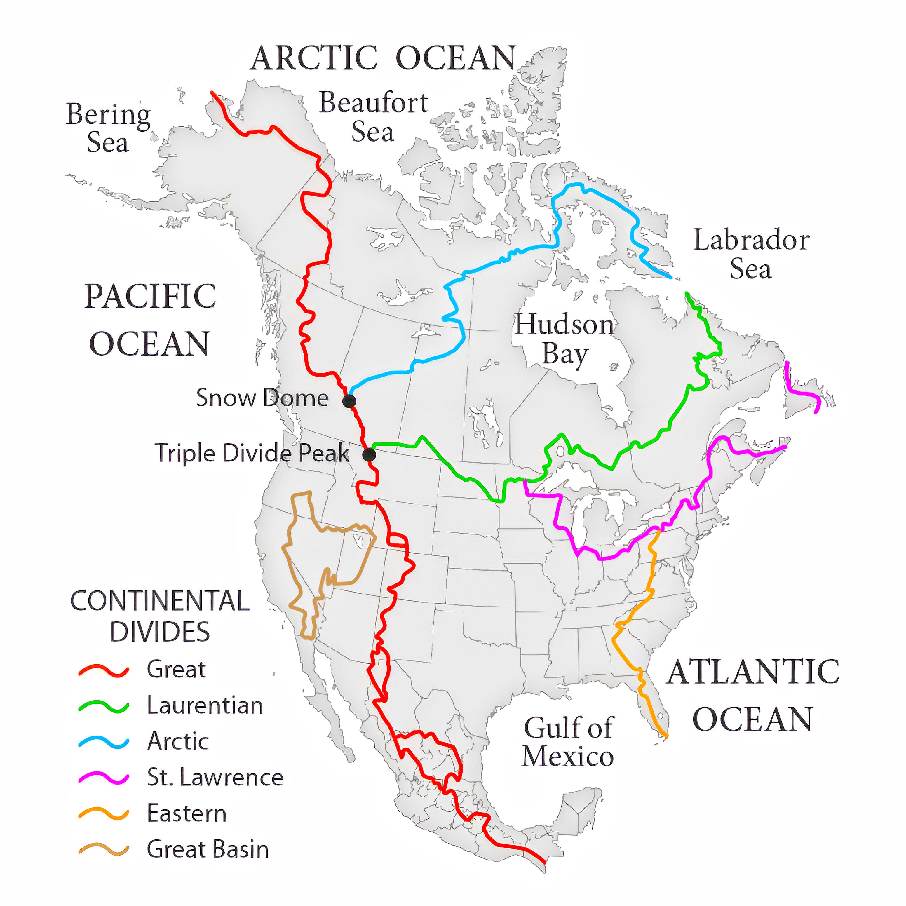
The Hydrological Divides of North America Watersheds Map provides a detailed visualization of the continent's water divides, marking boundaries between drainage basins. An invaluable tool for understanding the flow and convergence of North America's water resources.
14. North America Historical Map (1845)
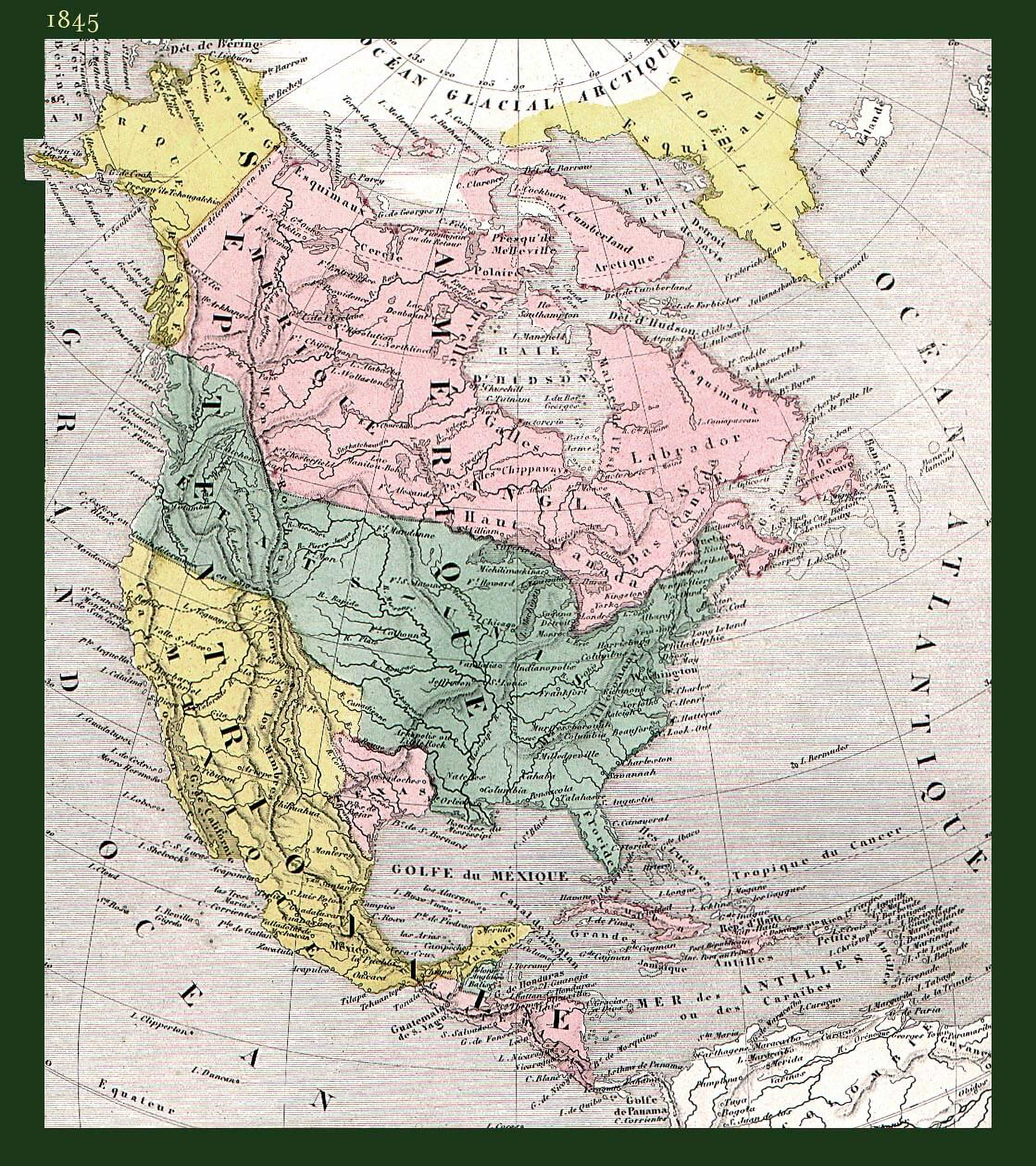
Journey through the annals of time, understanding the evolving borders and historical events with our Historical Map.
15. North America Historical Map (1747 - Bowen Map)
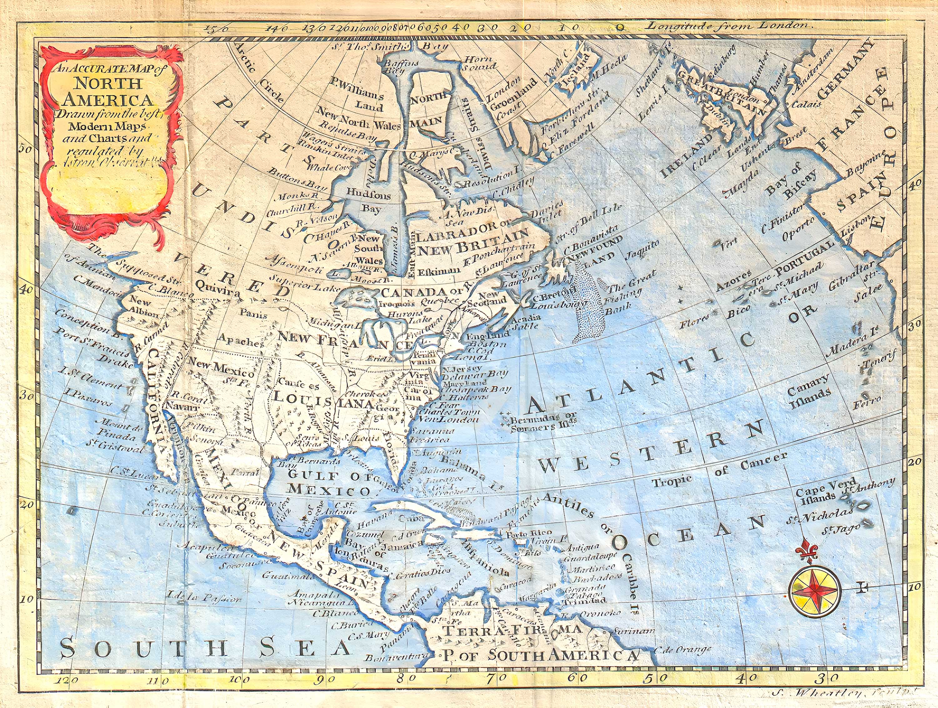
This 1797 map of North America, copied from Bowen's 1747 version, was subtly altered by Wheatley who removed Bowen's name. Showcasing Colonial North America, it features a misshapen Florida, mentions the Apache Indians, and includes mythical elements like the "Strait of Annian." Used in D. Fenning's 1797 guide, it also points to undiscovered parts of Canada and the Caribbean (Source Wikipedia).
16. North America Countries by GDP (PPP) Per Capita Map (2023)
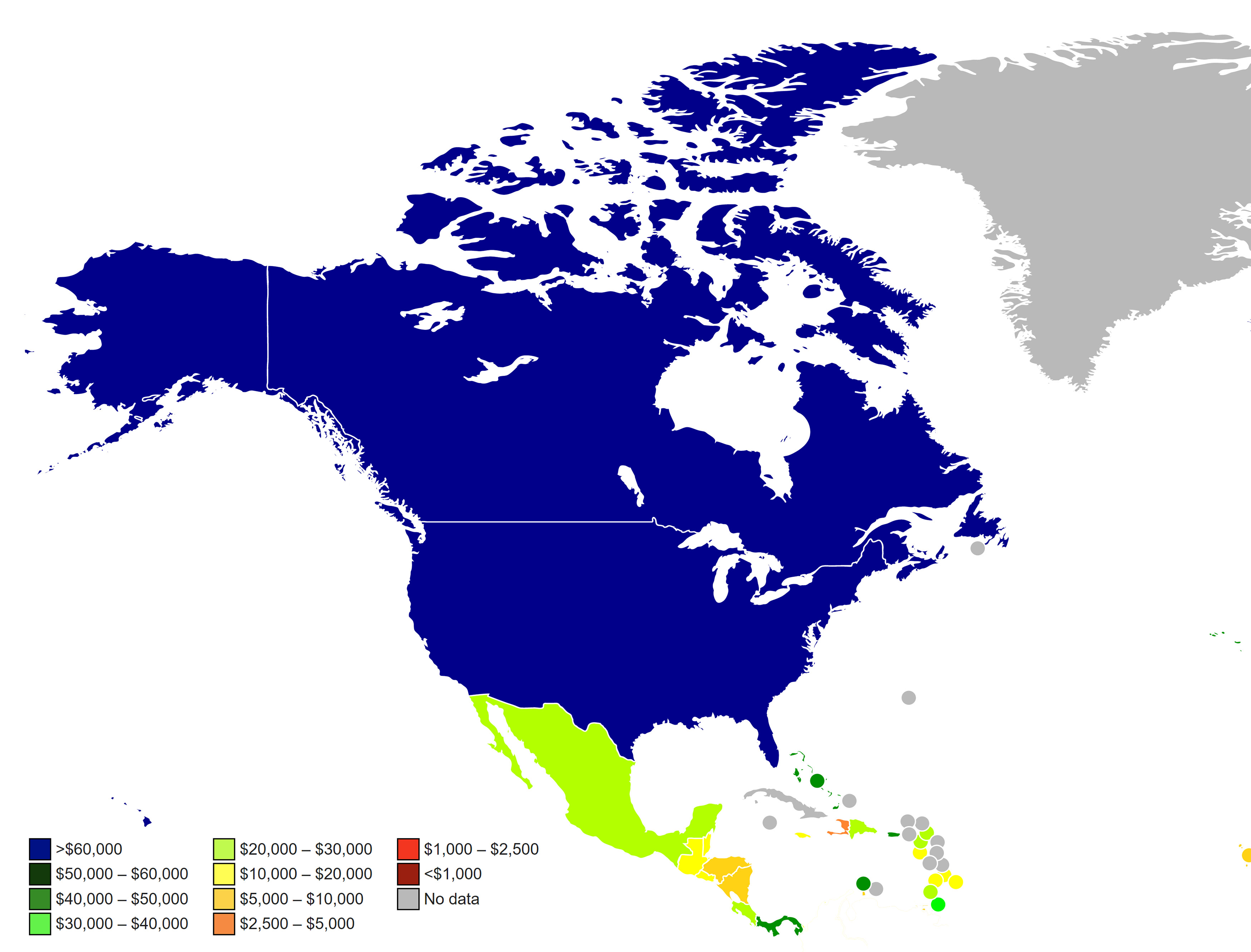
Grasp the economic powerhouses, their prosperity scales, and contrasts across the continent.
17. North America Climate Map
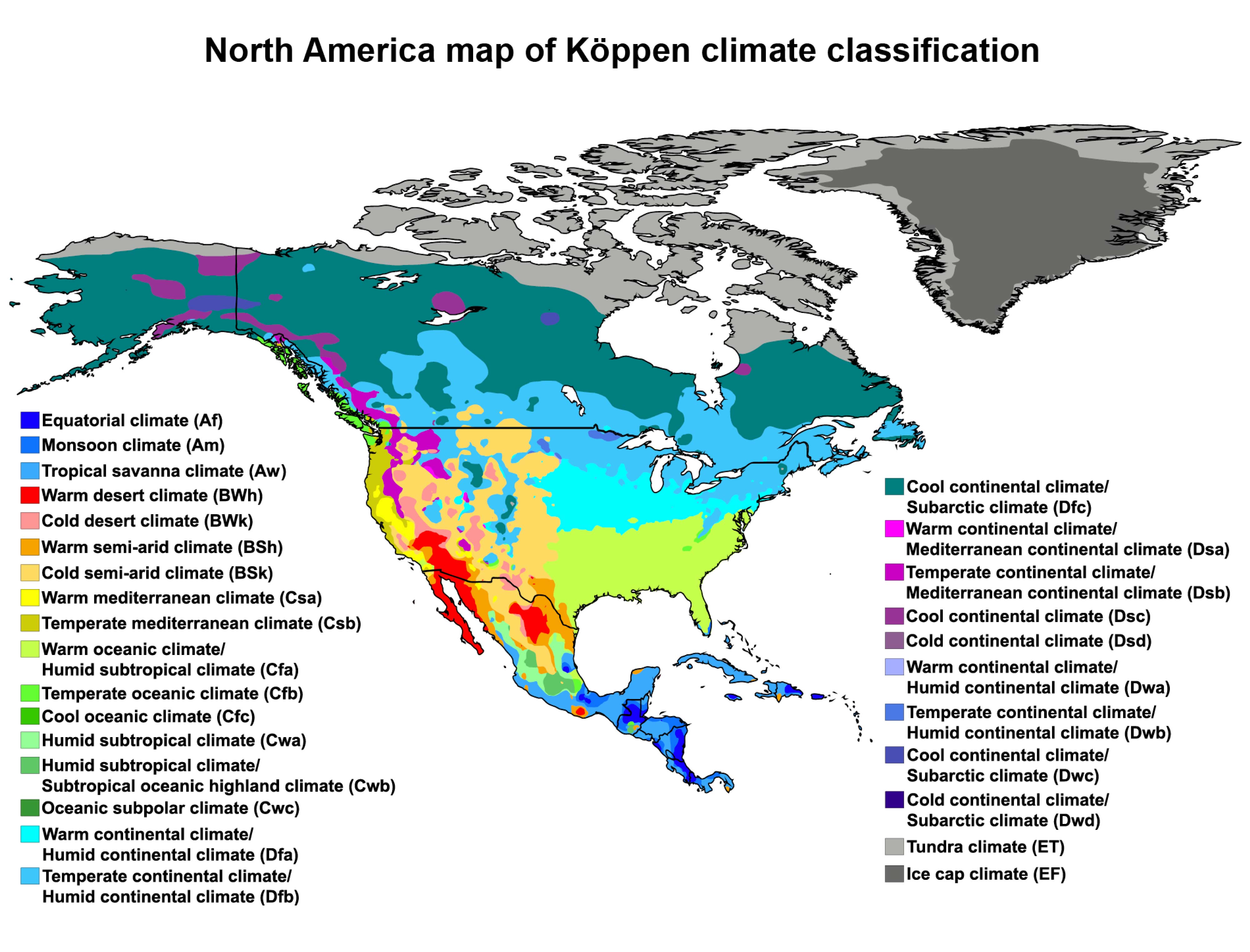
Understand the diverse weather patterns and climatic zones of North America.
18. North America Flag Map
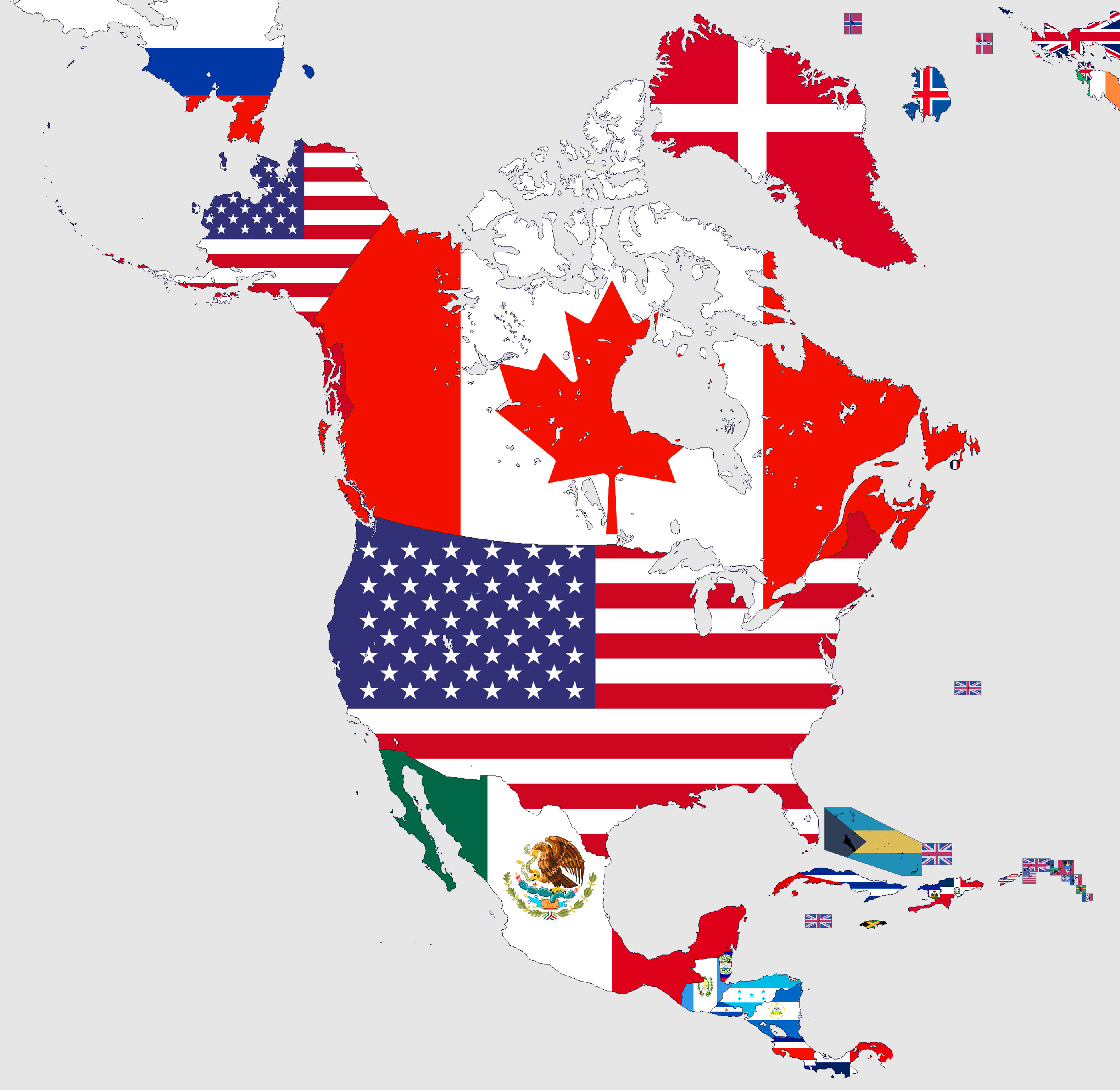
Express your patriotism with our Flag Map, showcasing each country's flag in its territorial boundary.
19. North America Travel (Tourist) Map
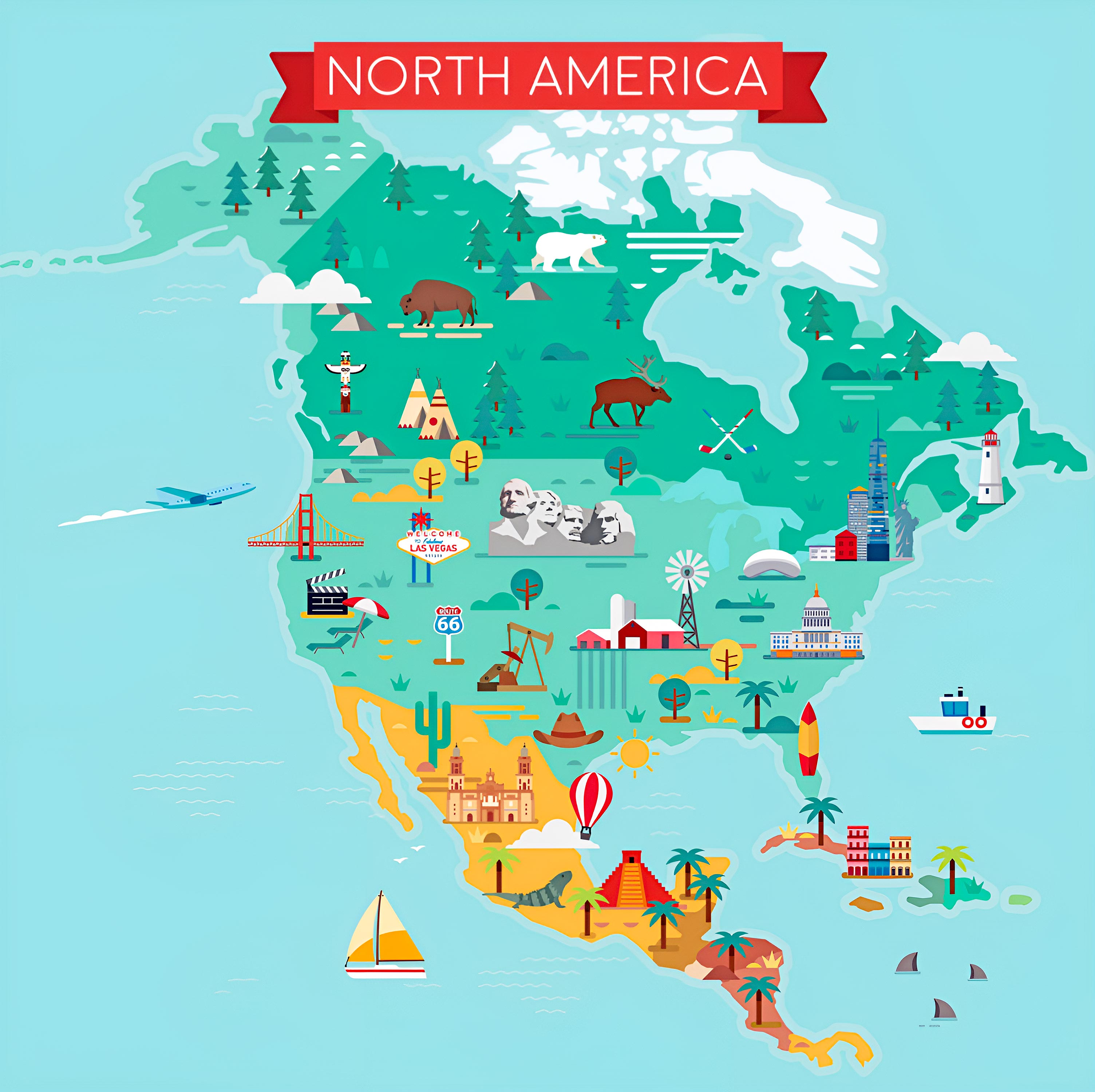
Keen on exploring tourist hotspots? Our Travel Map highlights the must-visit places.
20. North America Earth Satellite 3D Map
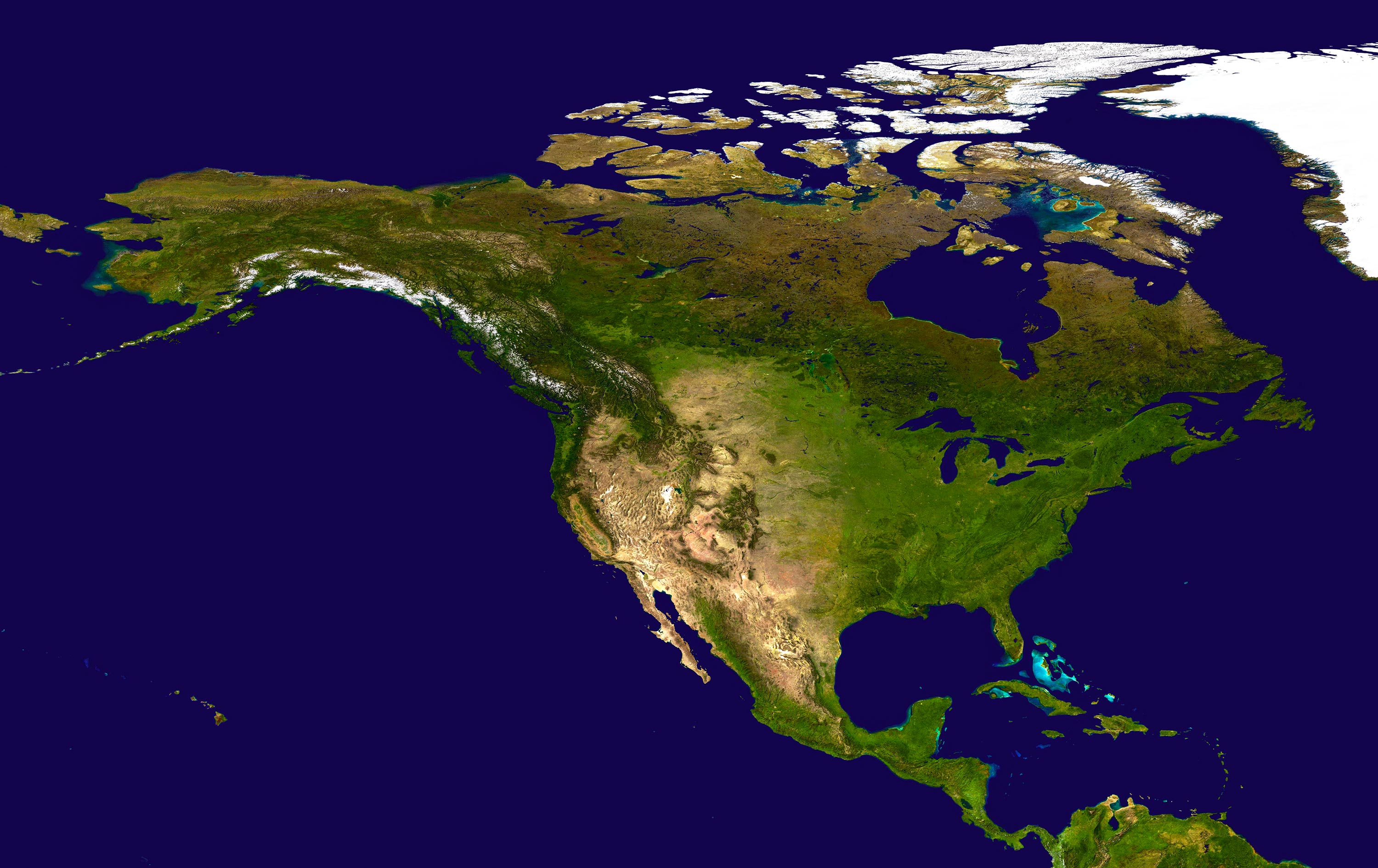
Experience a digital elevation model, offering a mesmerizing 3D visualization satellite of Europe's terrains.
In unlocking the depths of North America, it's essential to delve into the tales woven into its maps, highlighting its vast terrains, momentous historical shifts, and rich cultural intricacies. These cartographic representations bear witness to the continent's transformative journey, capturing its physical contours and the profound stories they've nurtured. As we wrap up this exploration, our aspiration is for you to depart with an enriched perspective of North America, illuminated by the insights these maps provide. Here's to your next quest, whether traversing the land or exploring through cartographic narratives, always brimming with enlightenment and awe.
Feel free to explore these pages as well:
- Head of Performance Marketing
- Head of SEO
- Linkedin Profile: linkedin.com/in/arifcagrici
Web: istanbul-city-guide.com
Email: [email protected]
Phone: +358 44 934 9129
Copyright istanbul-city-guide.com - 2004 - 2025. All rights reserved. Privacy Policy | Disclaimer