Comprehensive Austria Map Collection
In the heart of Europe, nestled between snow-capped mountains, verdant valleys, and historic cities, lies Austria—a nation renowned for its rich history, diverse culture, and breathtaking landscapes. As we set out to explore this European gem, what better way to delve into its intricacies than through maps? Maps not only represent the physical world but also narrate tales of the past, present, and potential future.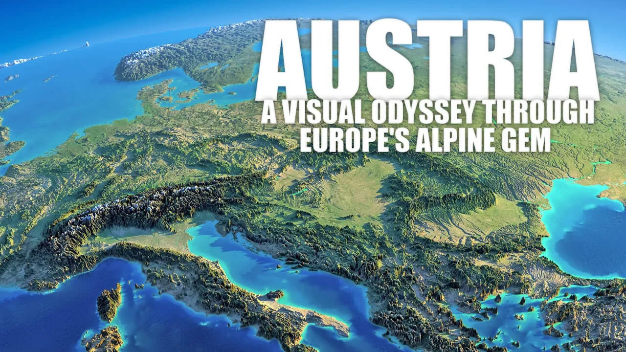
Mapping Austria: Geographic Insights into Europe's Gem
Please subscribe on "World Guide" channnel on Youtube at youtube.com/c/WorldGuide
From the rugged terrain of the Austrian Alps to the baroque architecture of Vienna, from its ancient historical footprints to its modern urban sprawl, our curated map collection promises a comprehensive and enlightening journey through Austria's multifaceted beauty. Embark with us on this cartographic exploration and discover Austria like never before.
1. Austria Physical Map
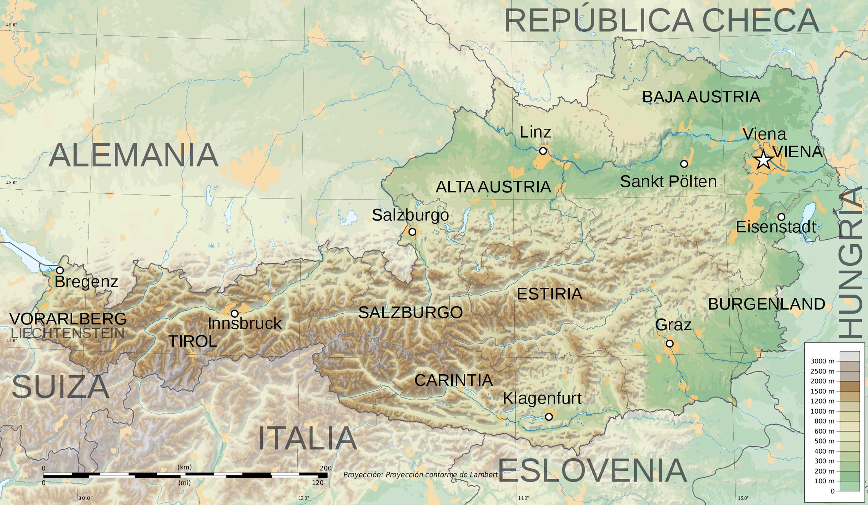
Depicts the natural features of Austria, including its majestic mountains, valleys, and water bodies, revealing the country's diverse terrain.
2. Austria Political Map
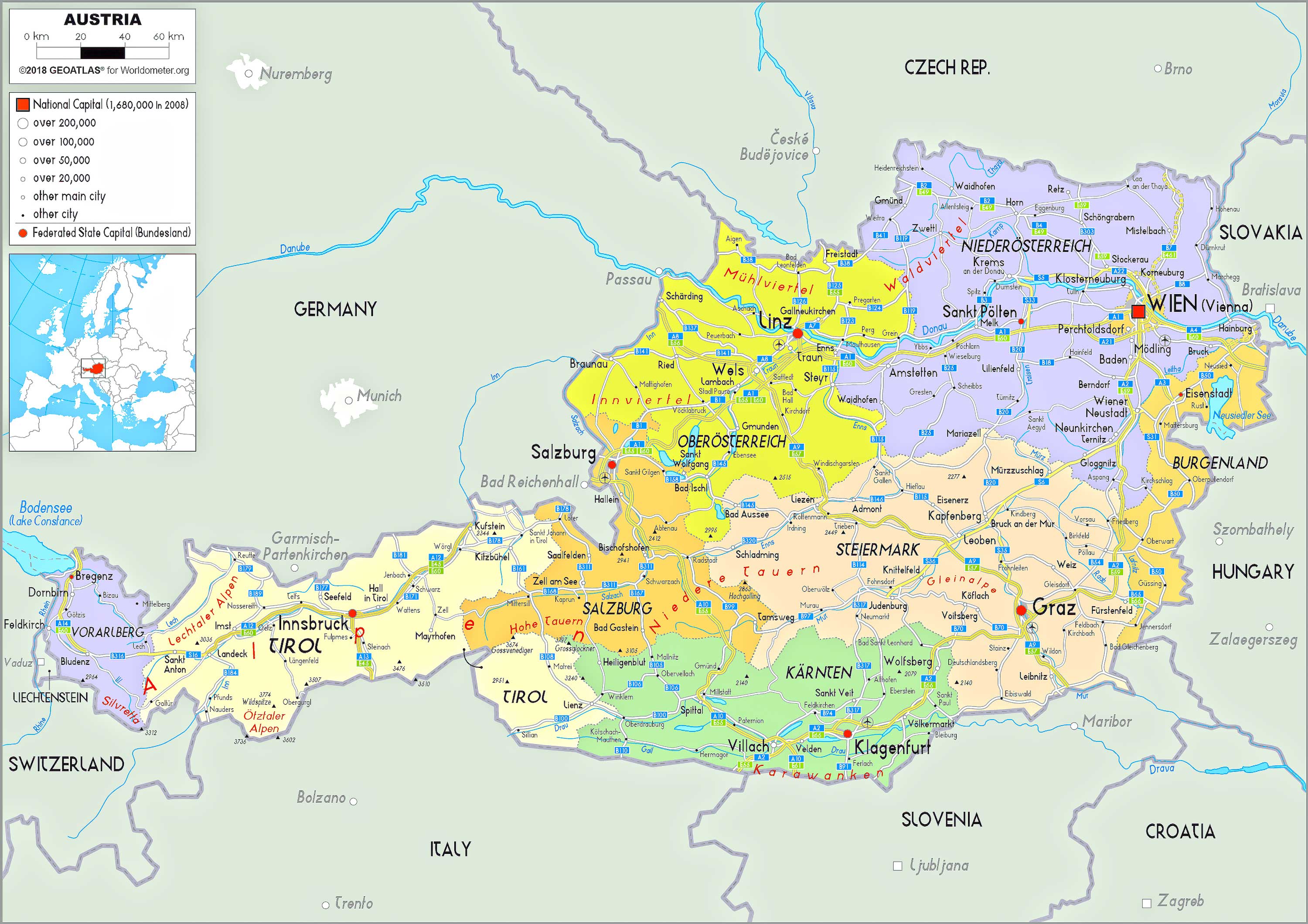
Showcases Austria's territorial boundaries, capitals, and major cities, illustrating the nation's political landscape.
3. Austria Topographic Map
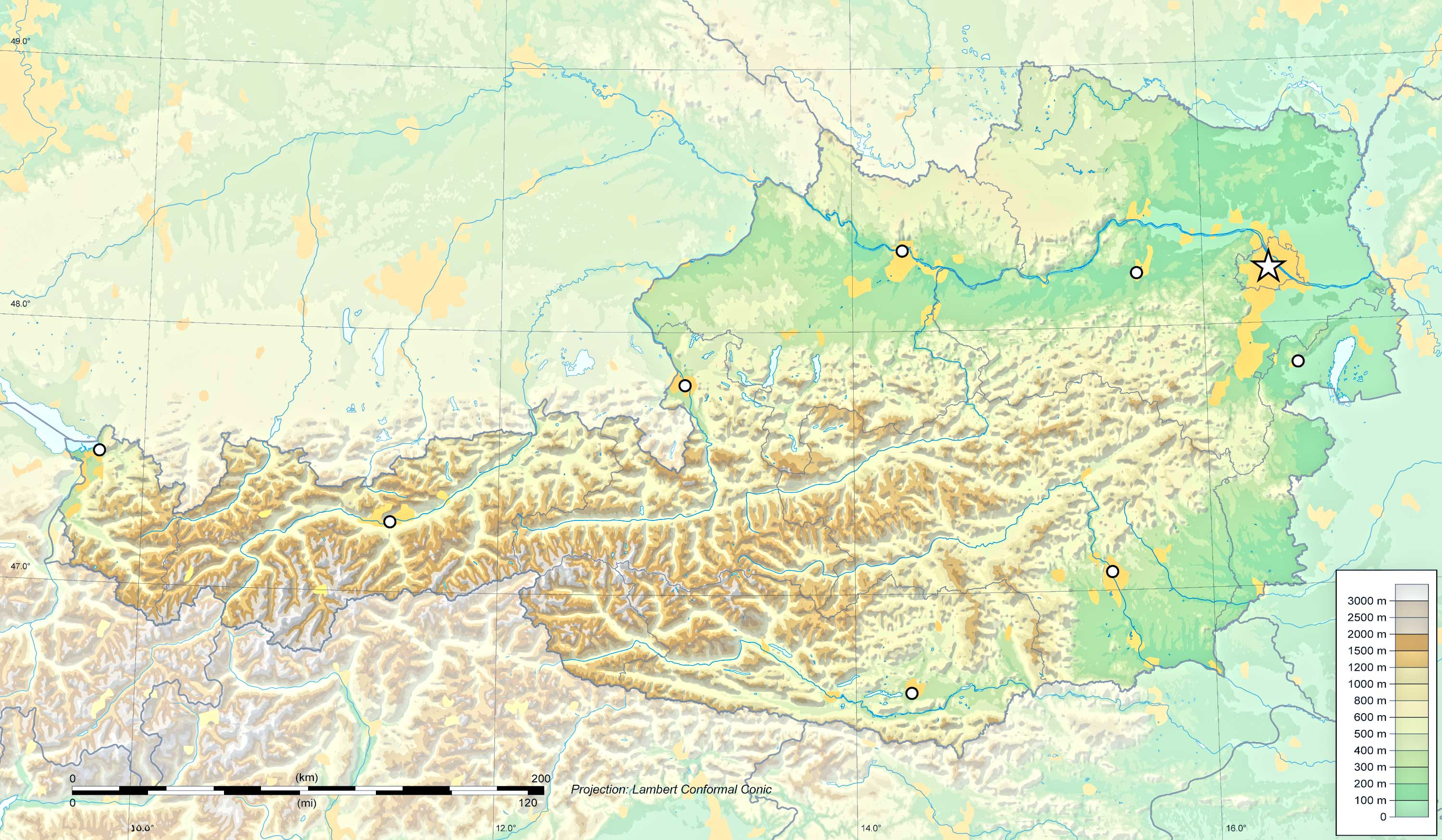
Represents the elevation and contours of Austria's landscape, offering detailed insights into its surface features.
4. Austria Geological Map
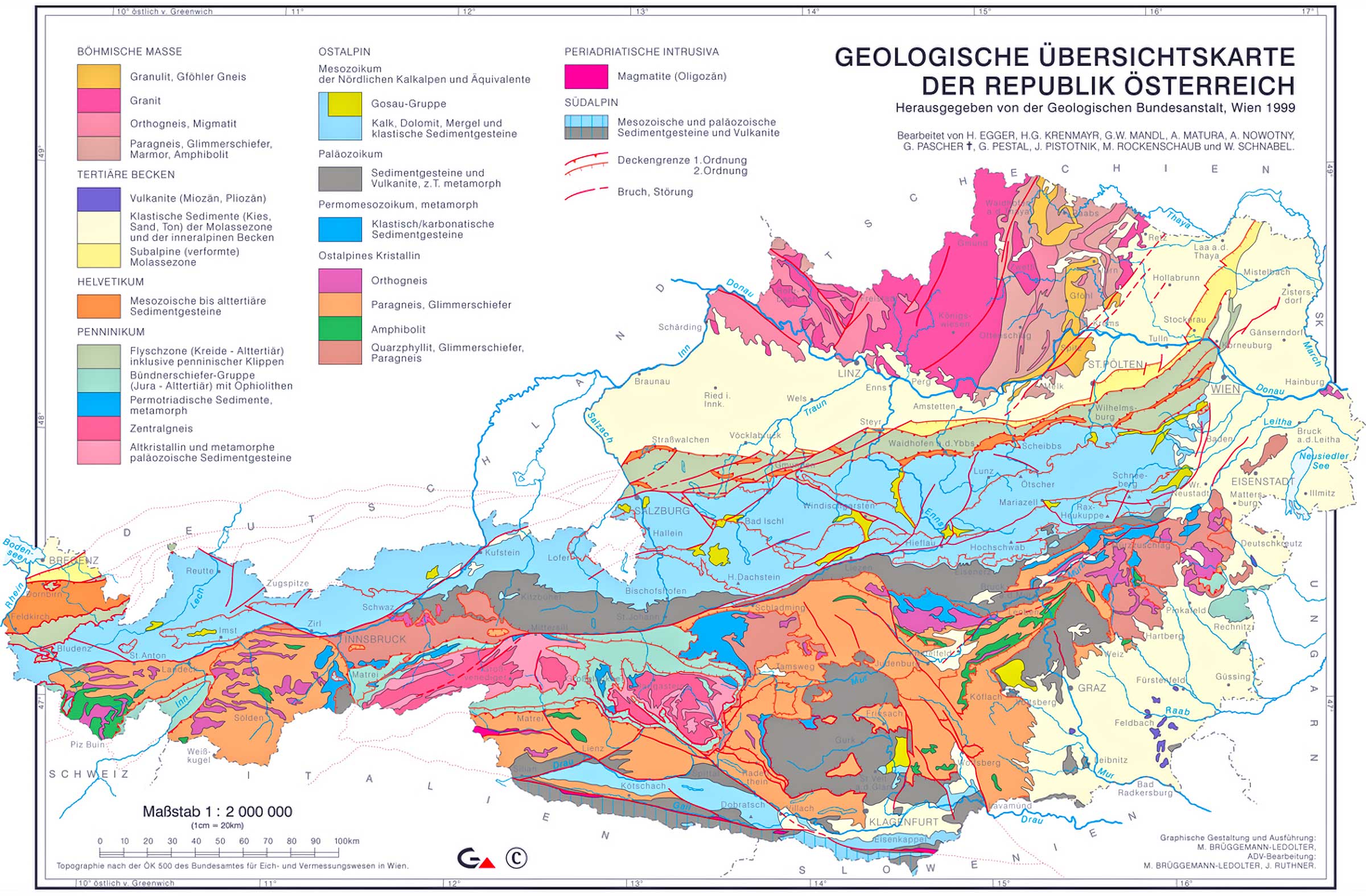
Displays the types and age of rock at the surface, highlighting Austria's geological history and mineral resources.
5. Austria Cities (Urban) Map
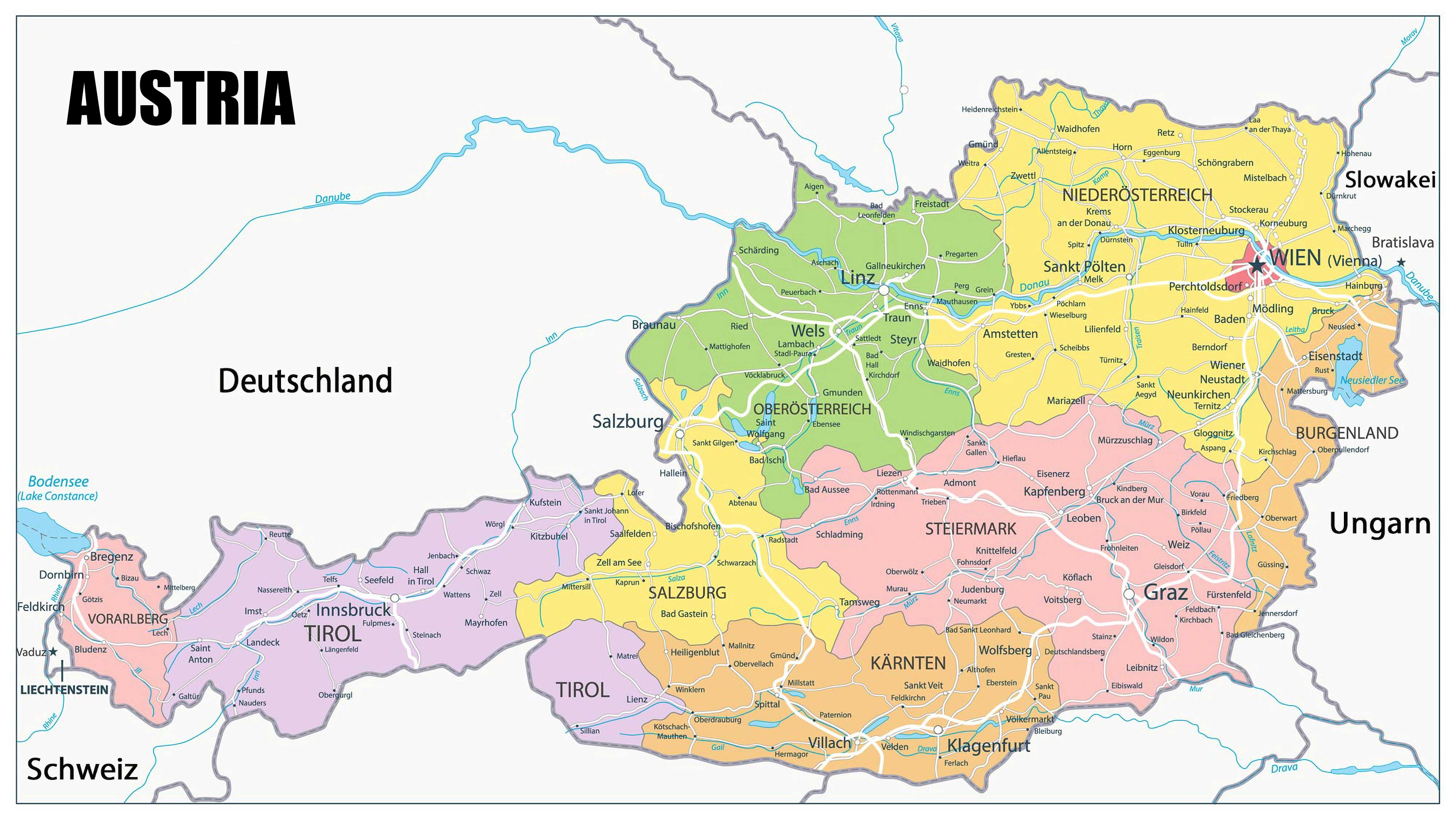
Zoning in on Austria's bustling urban centers, this map provides a detailed layout of cities, towns, and infrastructure.
6. Austria Regions Map
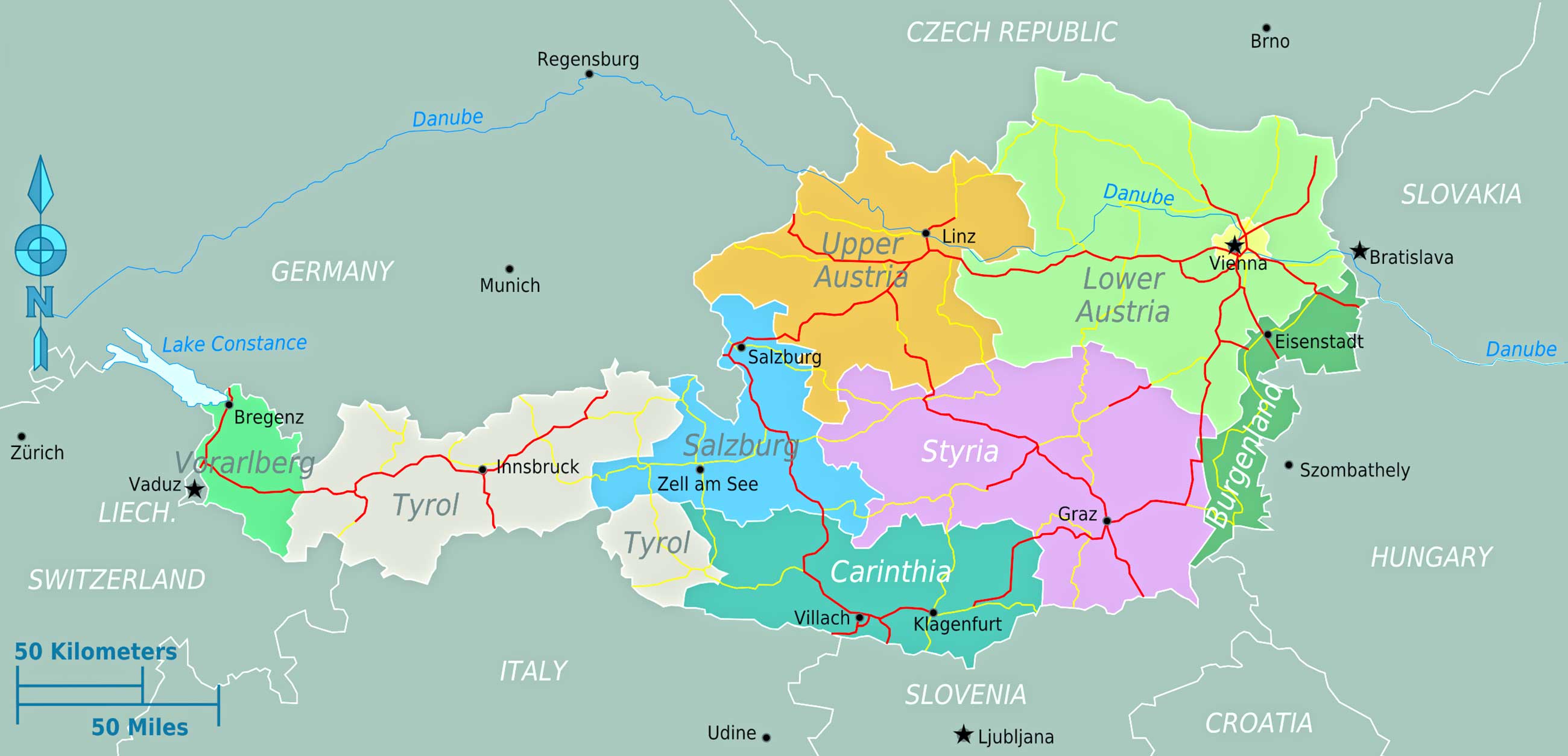
Outlines the different regions in Austria, providing an understanding of its cultural and geographical divisions.
7. Austria Administrative Divisions Map
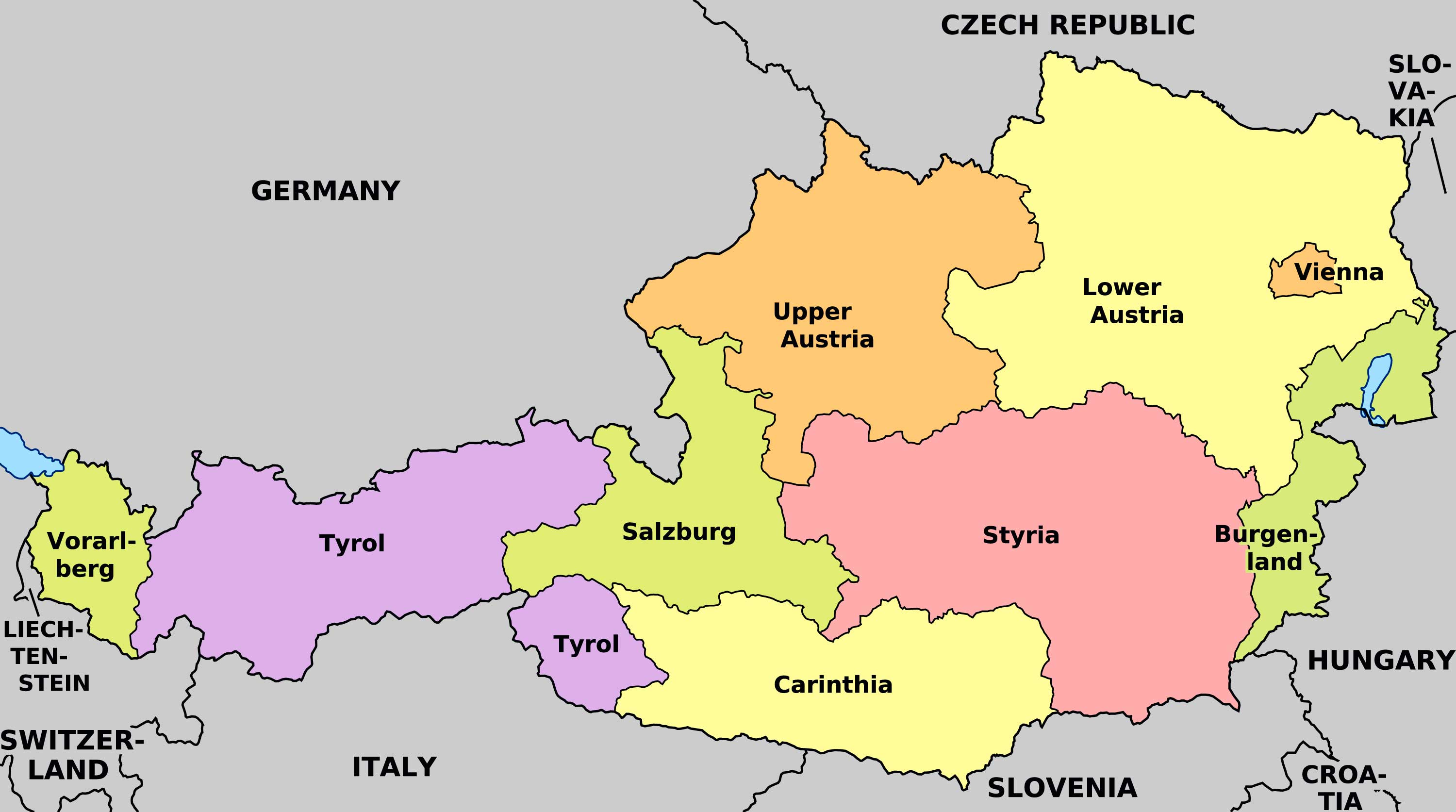
Details the different levels of administrative boundaries in Austria, from states to municipalities.
8. Austria Relief Map
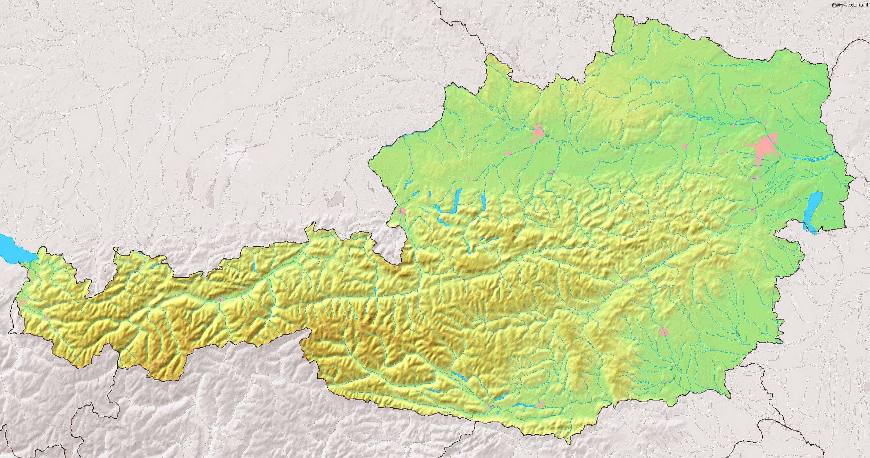
Emphasizes the physical height of land formations in Austria, giving a three-dimensional perspective of its landscape.
9. Austria Transit Map
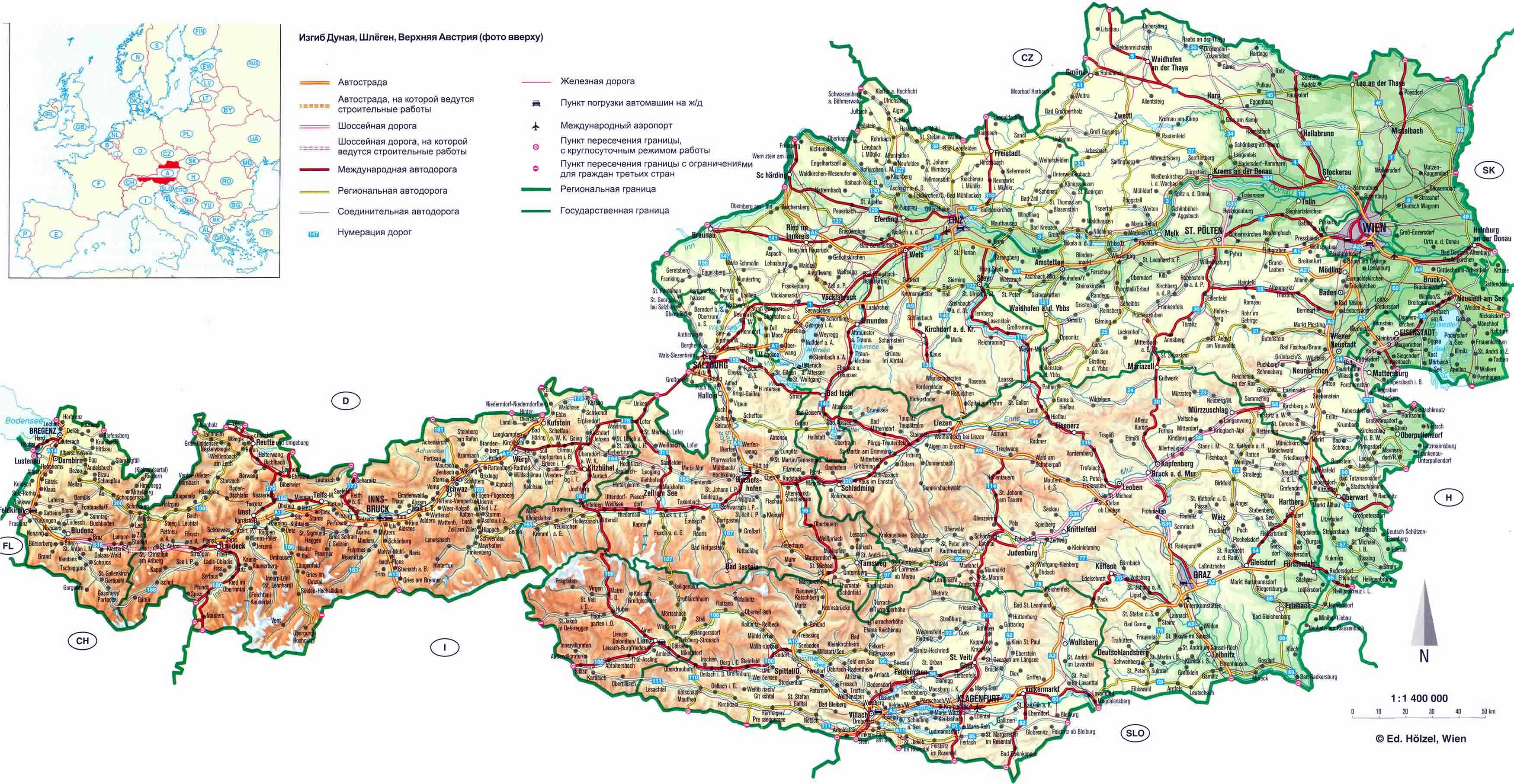
Illustrates Austria's public transportation routes, including buses, trams, and subways, easing the commuter's journey.
10. Austria Historical Map - Austrian Empire Map (1861)
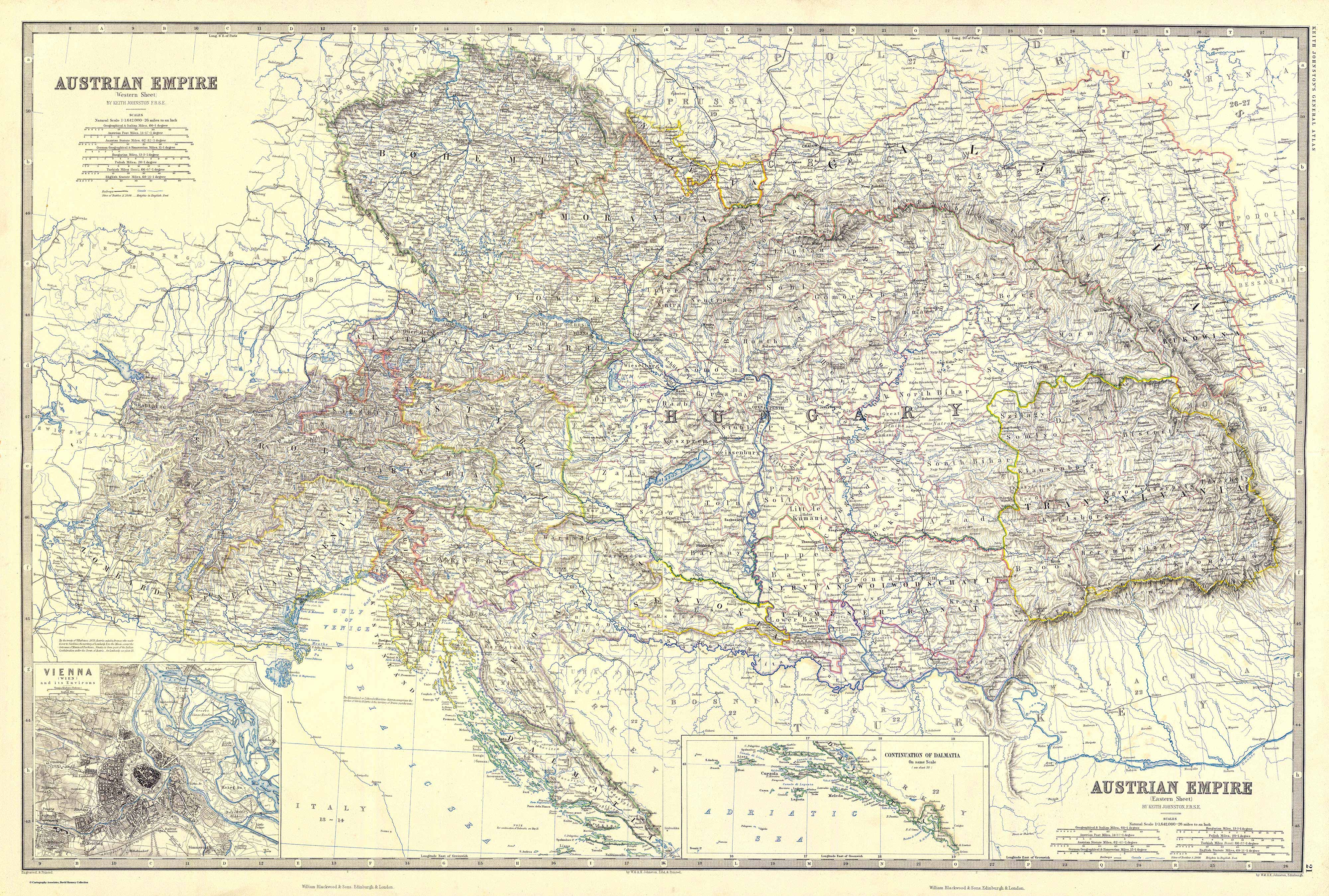
Captures Austria's evolution over time, highlighting its past territories, boundaries, and important historical events.
11. Austria Road Map
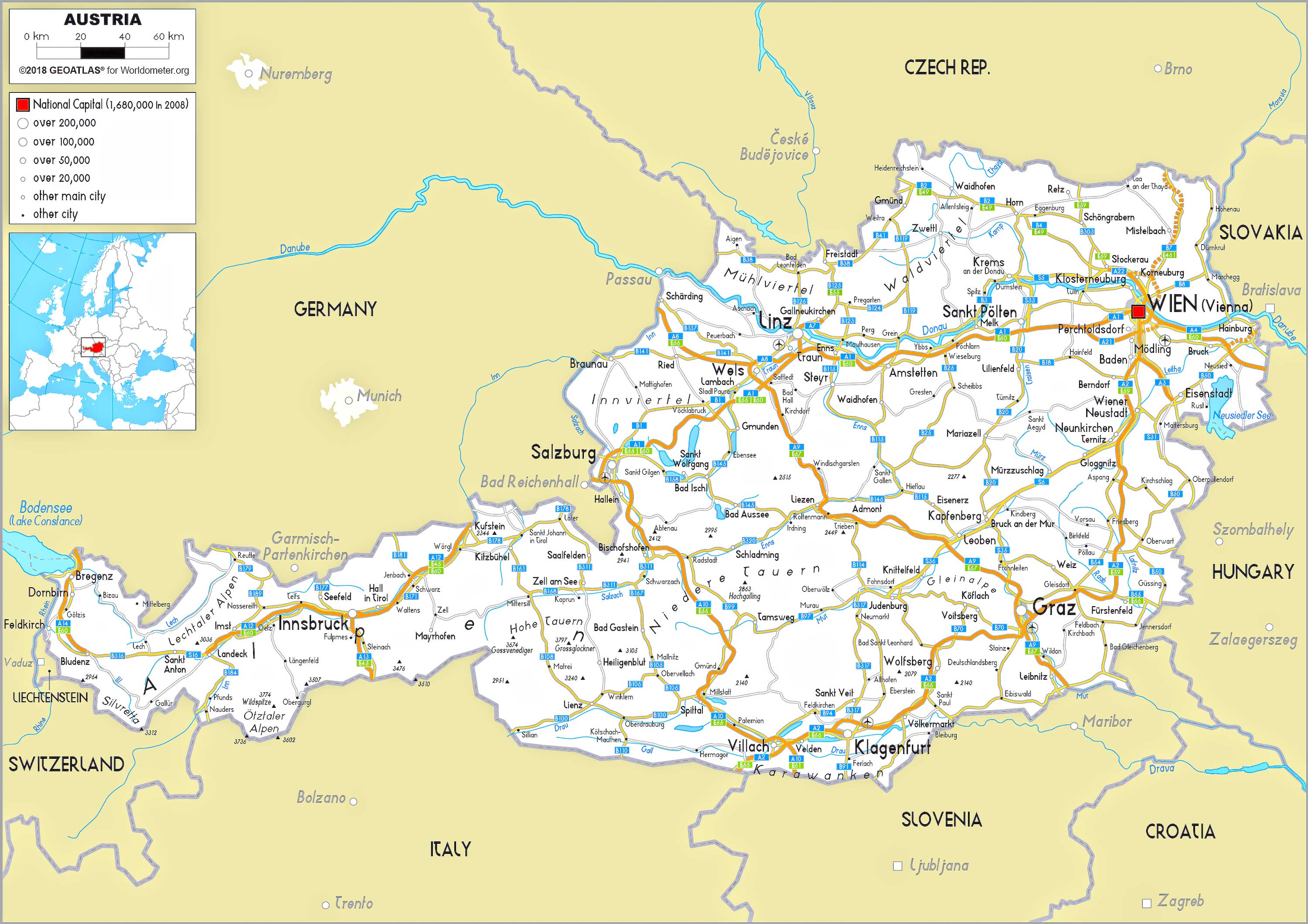
Details Austria's extensive road network, assisting drivers in navigating the country's highways and byways.
12. Austria Train-Railway Map
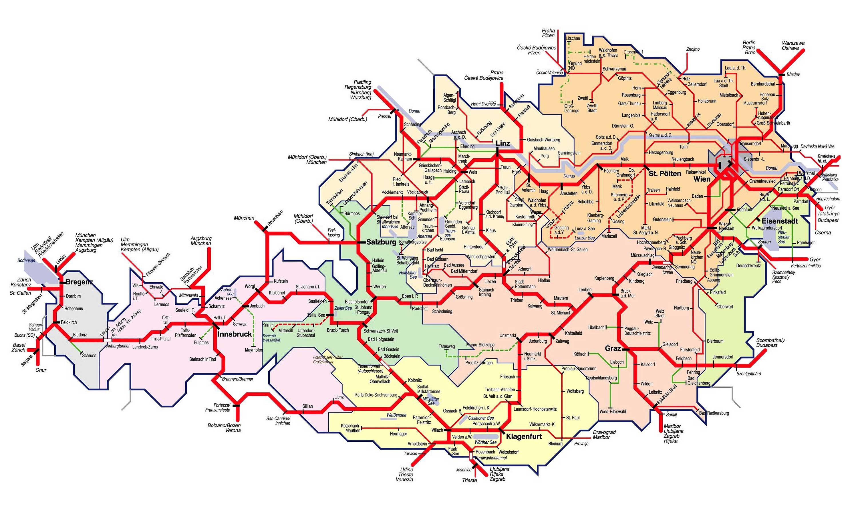
Showcases the intricacies of Austria's railway system, connecting major cities and towns.
13. Austria Climatic Map
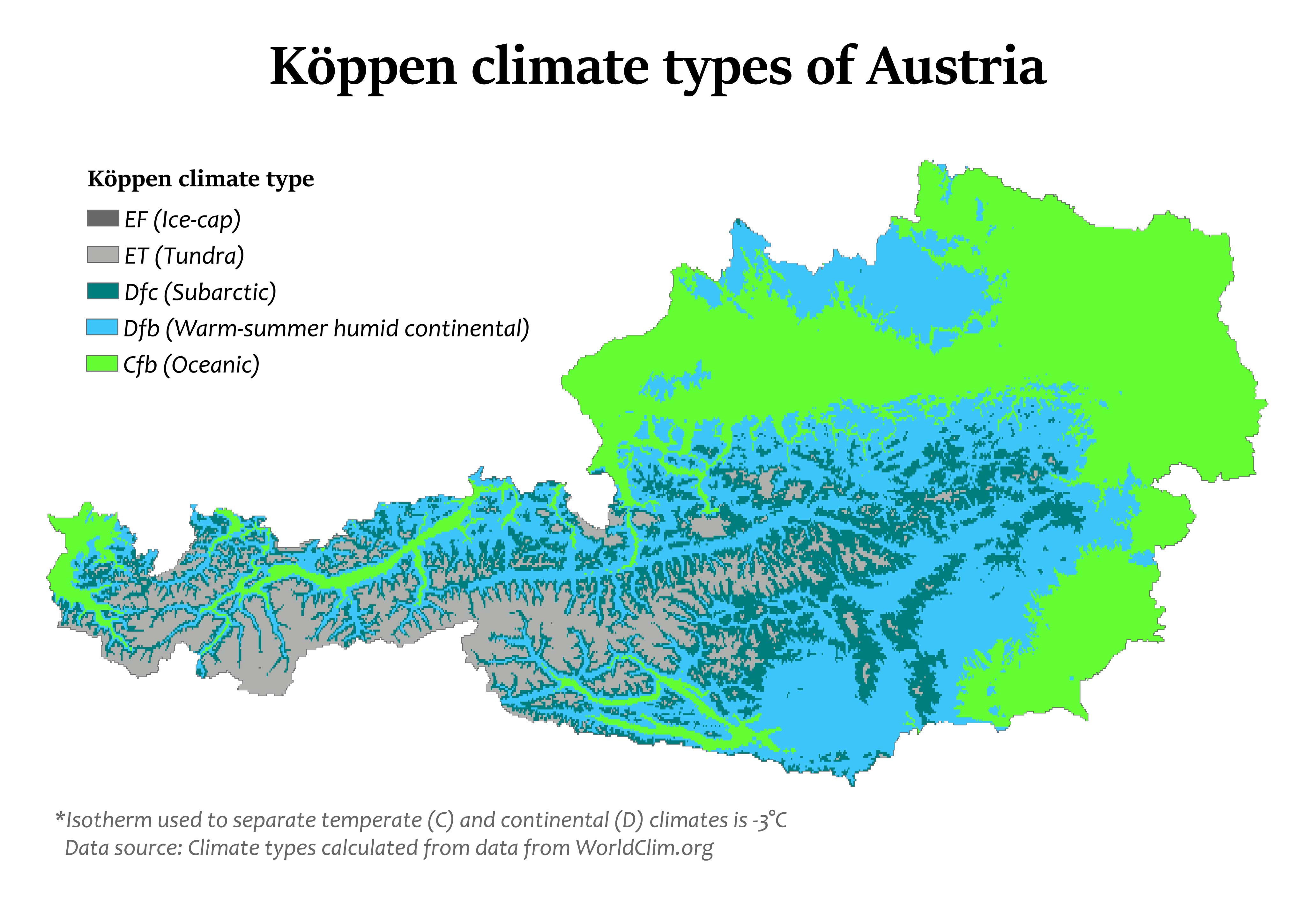
Displays Austria's varied climate zones, providing insights into its weather patterns and microclimates.
14. Austria Blank Map
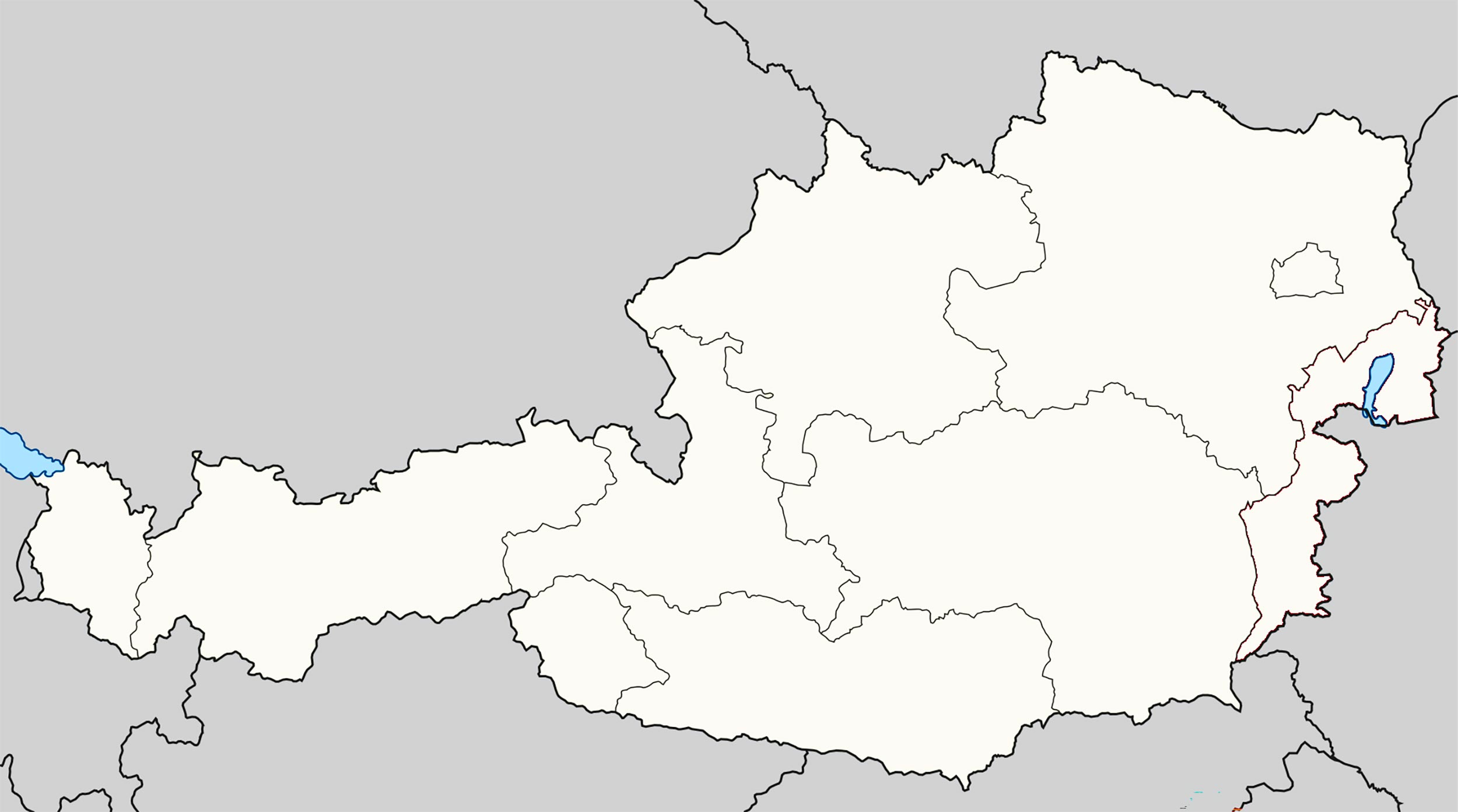
15. Austria Flag Map
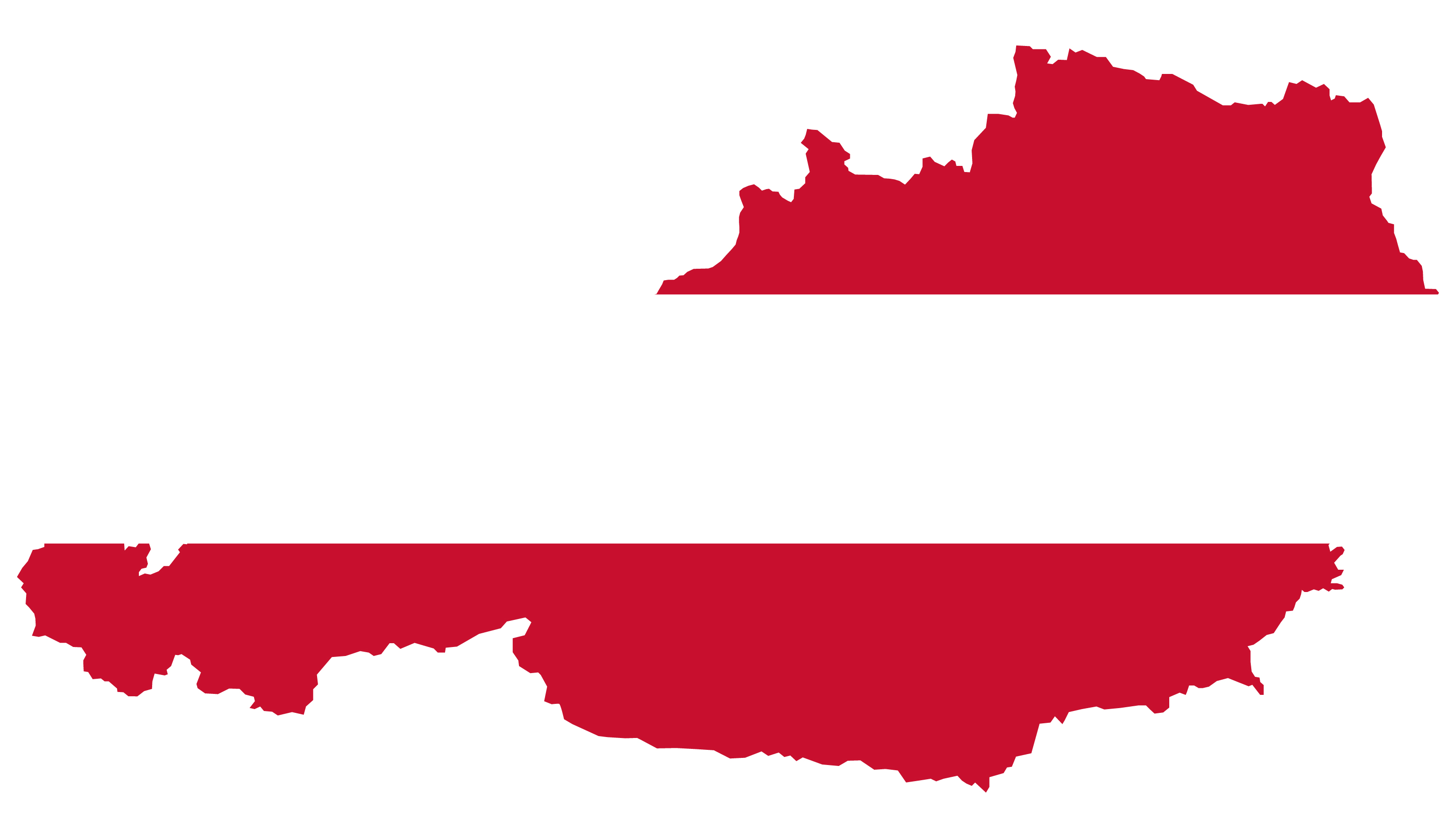
A unique representation where Austria's national flag fills its territorial boundary, symbolizing its identity and pride.
16. Austria Travel-Tourist Map
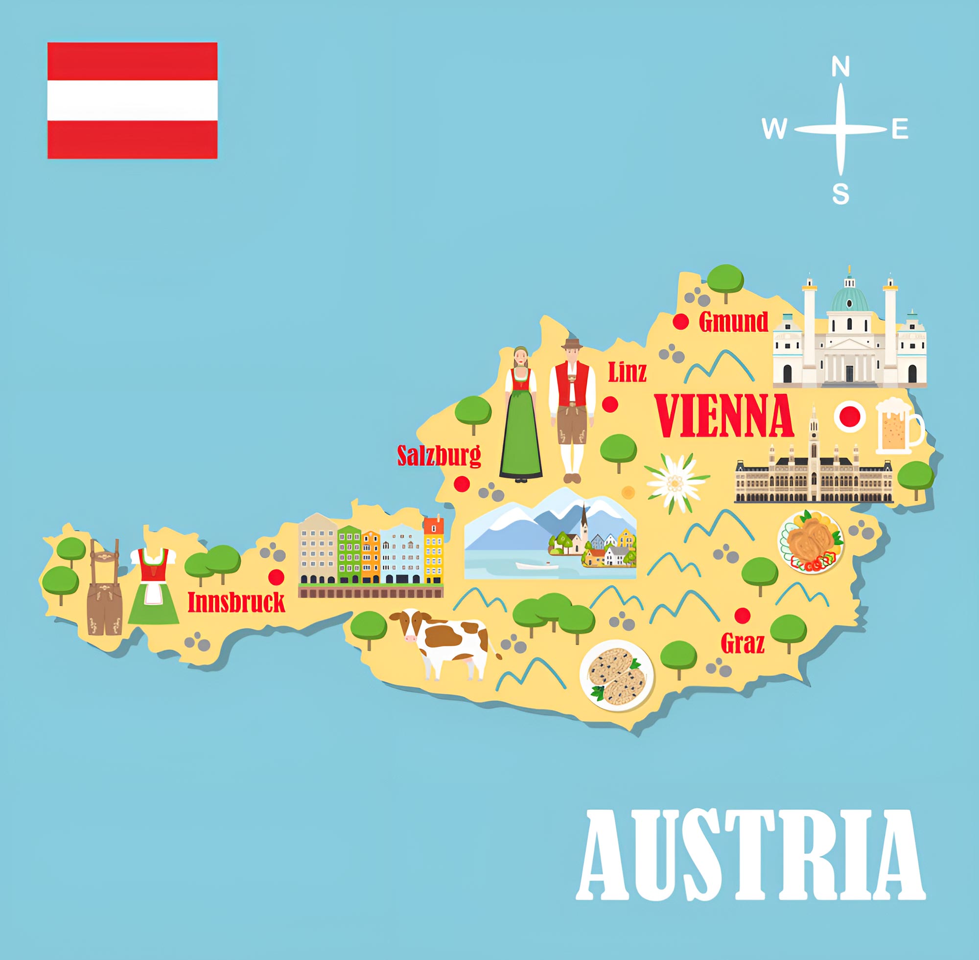
Highlights Austria's major tourist attractions, scenic routes, and travel destinations, ensuring a memorable experience for visitors.
17. Map of Austria's Location in the World Map
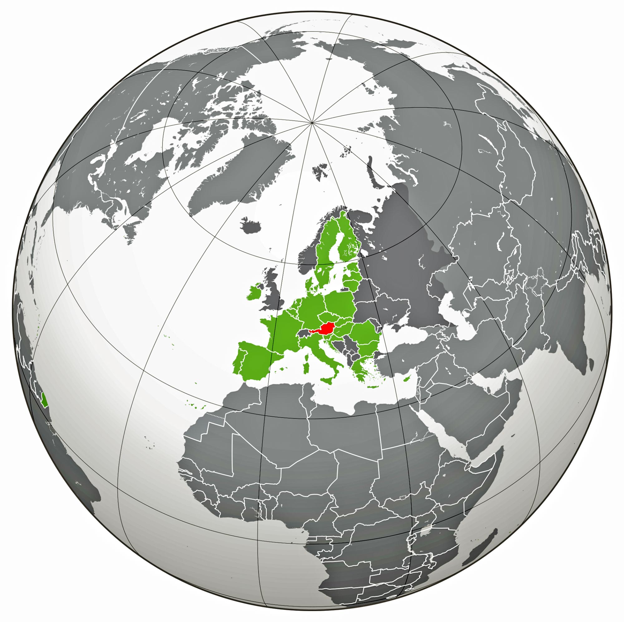
Positions Austria in the global context, allowing readers to understand its geographical relationship with neighboring countries.
18. Austria Earth Satellite Map
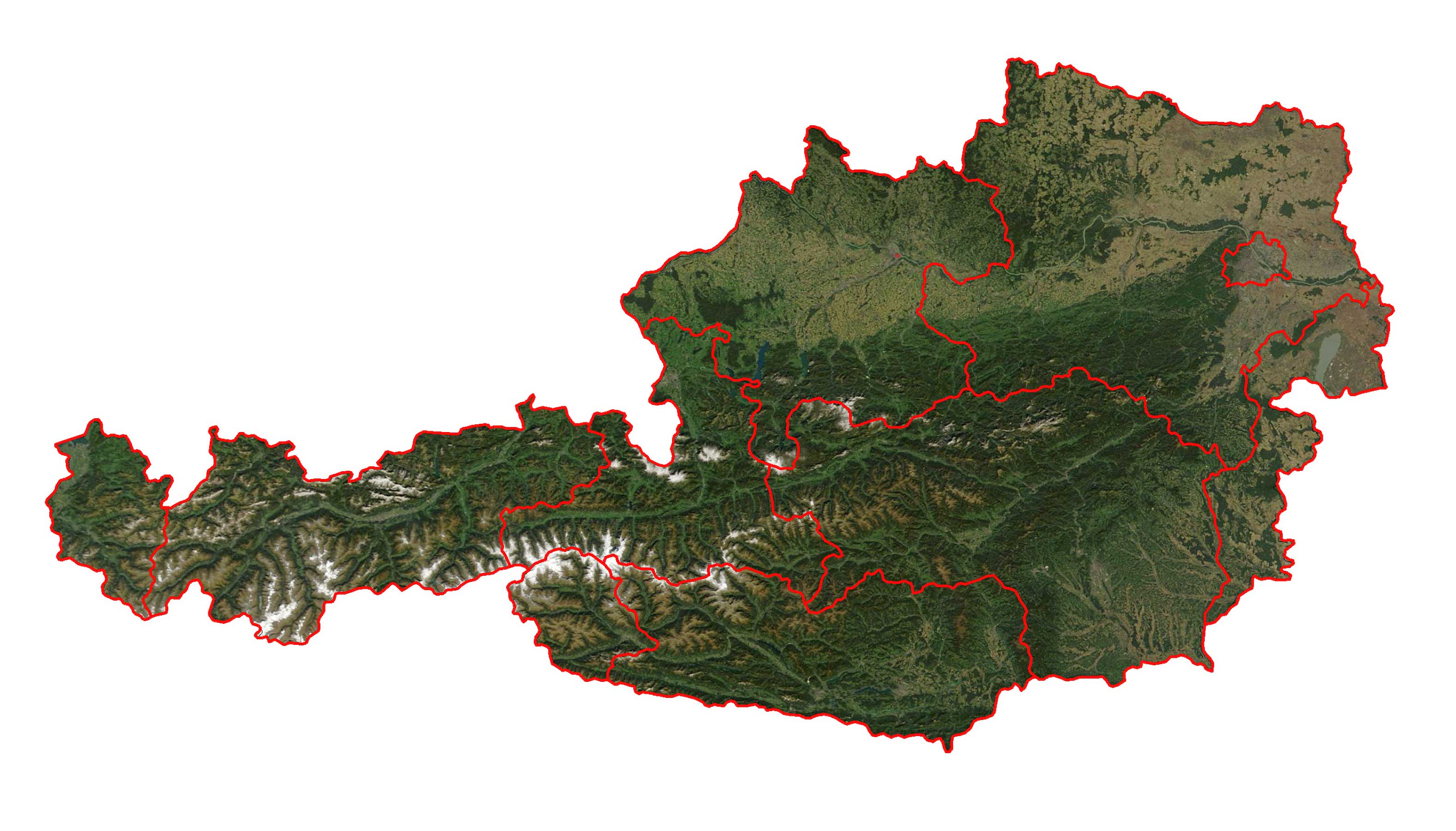
A bird's-eye view of Austria from space, capturing its natural beauty and urban sprawl in one breathtaking snapshot.
As we conclude our cartographic journey through Austria, it's evident that maps do more than just chart territories; they narrate tales, unveil mysteries, and paint a vivid tapestry of a nation's soul. From its alpine meadows to its architectural marvels, Austria's beauty and complexity have been magnificently captured in each map we explored. Whether you're a fervent traveler, a history enthusiast, or someone with a penchant for geographical wonders, we hope this collection has offered you a fresh perspective on Austria. Until our next exploration, may the allure of Austria's landscapes and the richness of its heritage continue to inspire your wanderlust and curiosity. Safe travels and happy mapping!
Feel free to explore these pages as well:
- Head of Performance Marketing
- Head of SEO
- Linkedin Profile: linkedin.com/in/arifcagrici
Web: istanbul-city-guide.com
Email: [email protected]
Phone: +358 44 934 9129
Copyright istanbul-city-guide.com - 2004 - 2025. All rights reserved. Privacy Policy | Disclaimer
