Map Asia
Navigate Asia Map, countries map, satellite images of the Asia, largest cities maps, political map, capitals and physical maps.
World Continents Map
North America Map Asia Map South America Map Africa Map Oceania Map Antarctica MapASIA MAP : Asian Countries Maps, Satellite Images from Space
Please subscribe on "World Guide" channnel on Youtube at youtube.com/c/WorldGuide
Asia and India Map
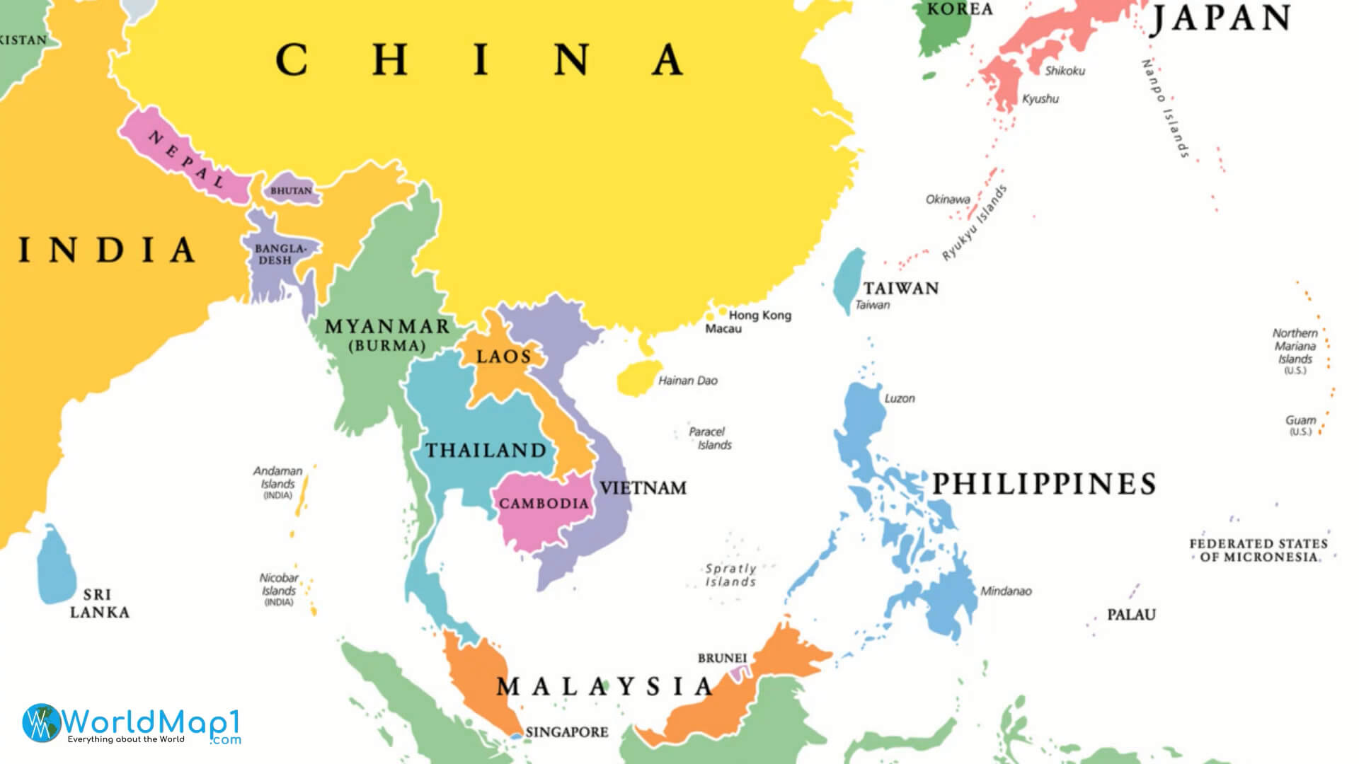
A Collection of Asia Maps
Asia Map

Political Map of Asia - The continent with the fastest growing economy
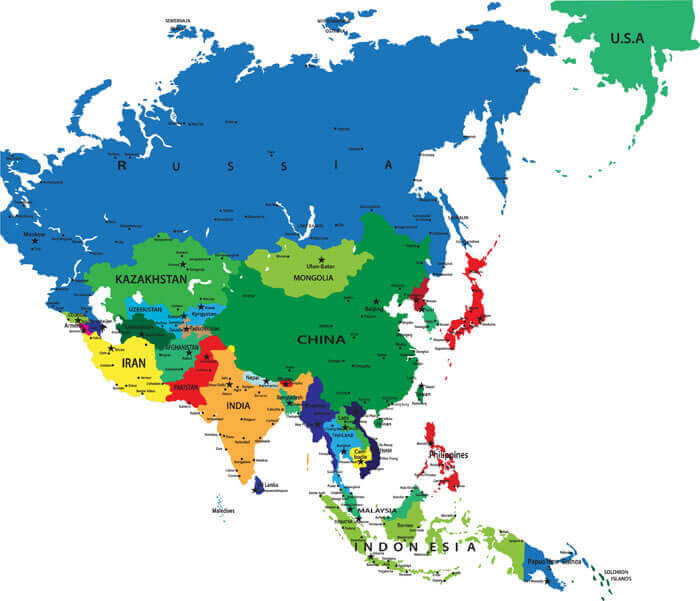
Asia Countries Political Map with National Borders
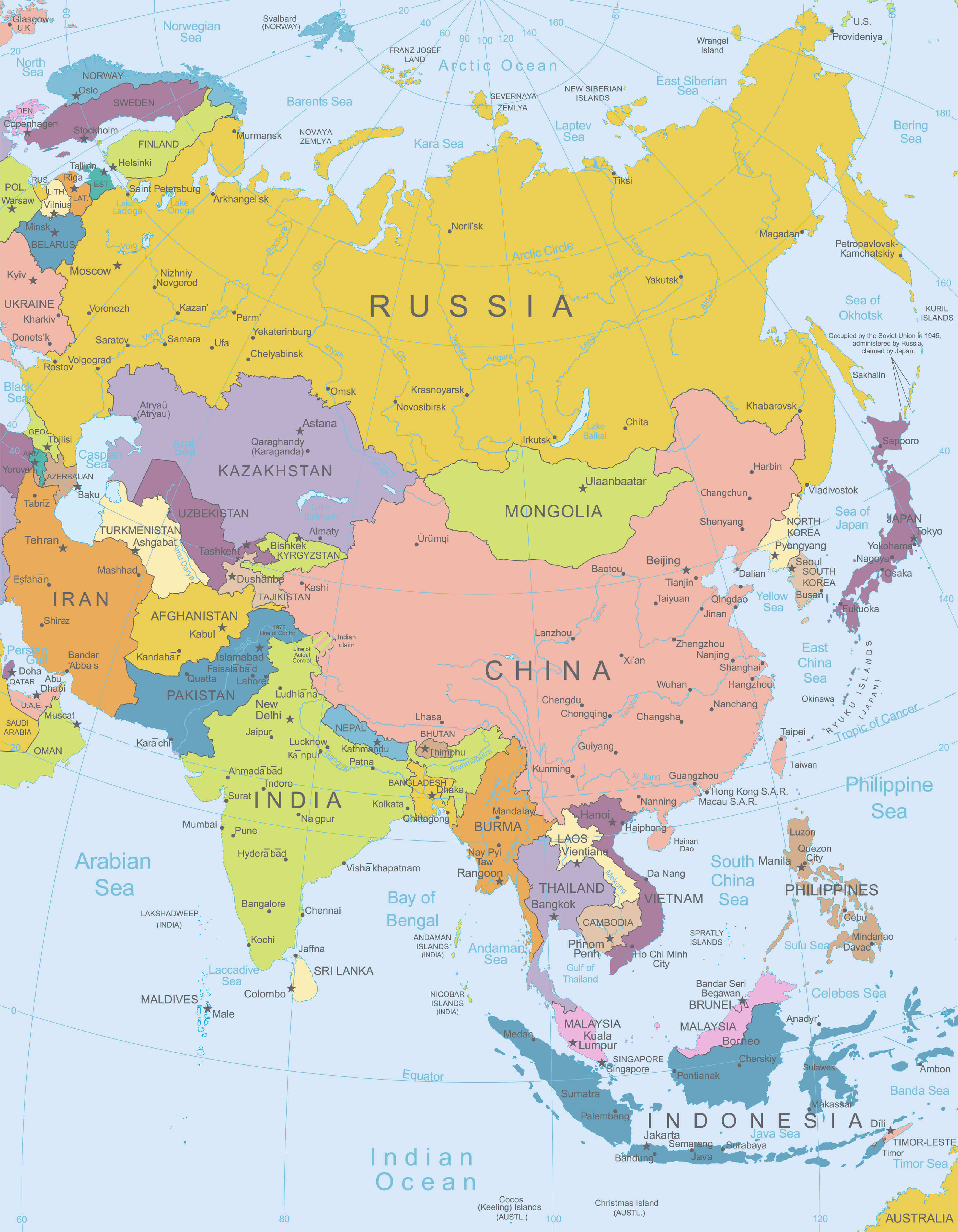
Countries Map of Asia
Asia Google Map, Street Views, Maps Directions, Satellite Images
Asia World Map with Globes
World Map with Globes - detailed editable vector, include all Names of Countries and Capitals of Asia - outline national border lines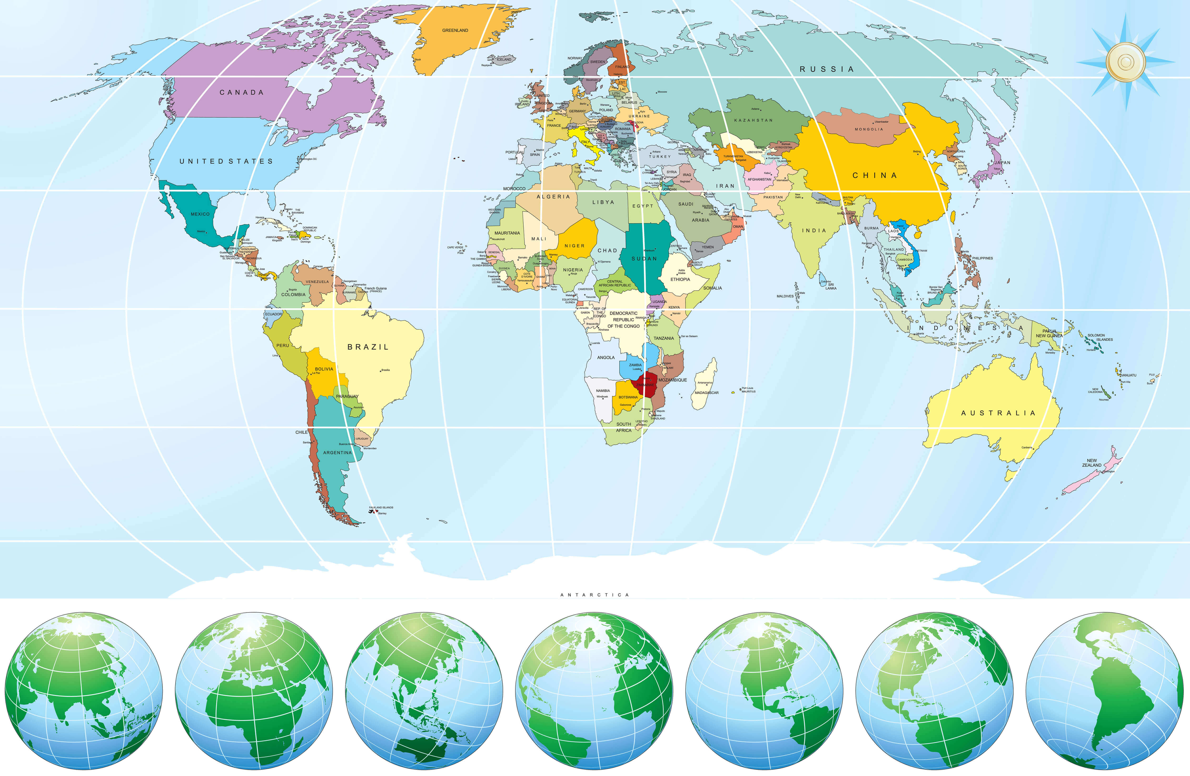
2012 Asia Political Continent Map
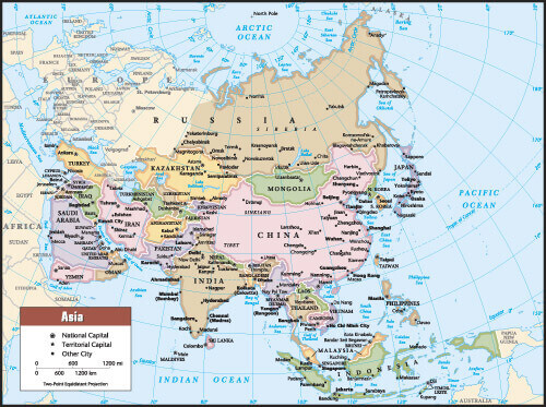
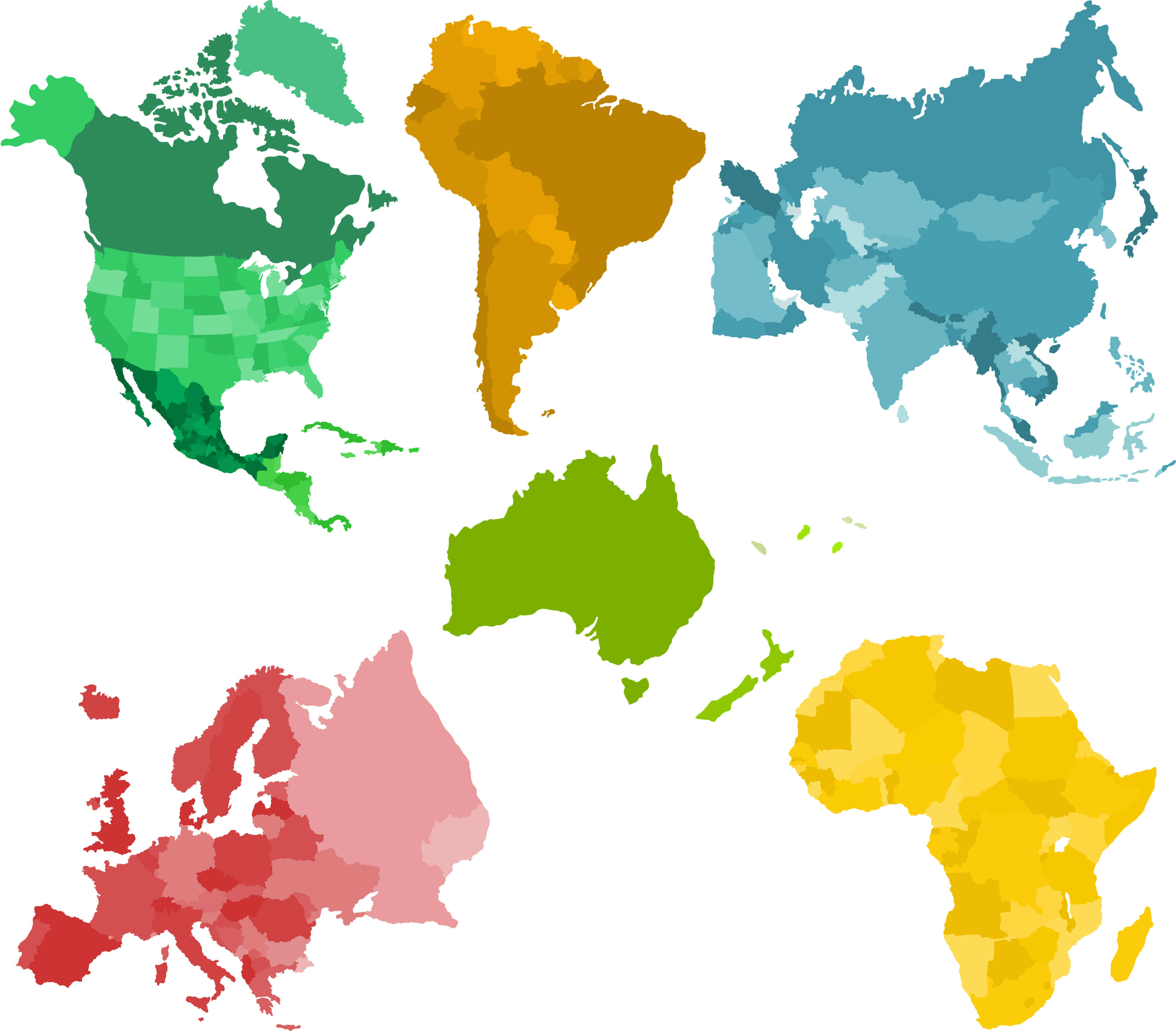
Asia and Set of a Six Silhouettes of a Continents
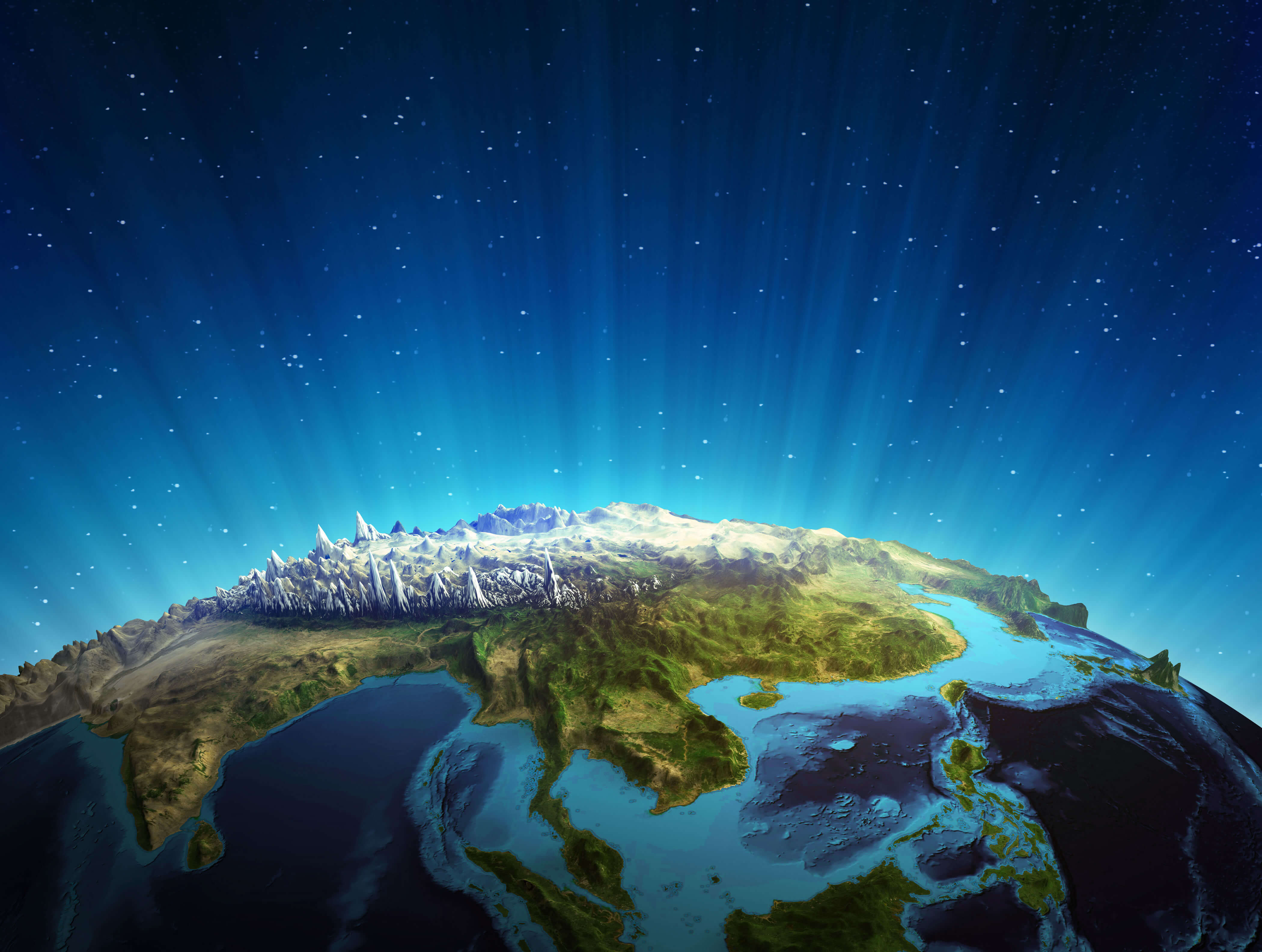
South East Asia Real Relief Satellite Map, Image Furnished by NASA
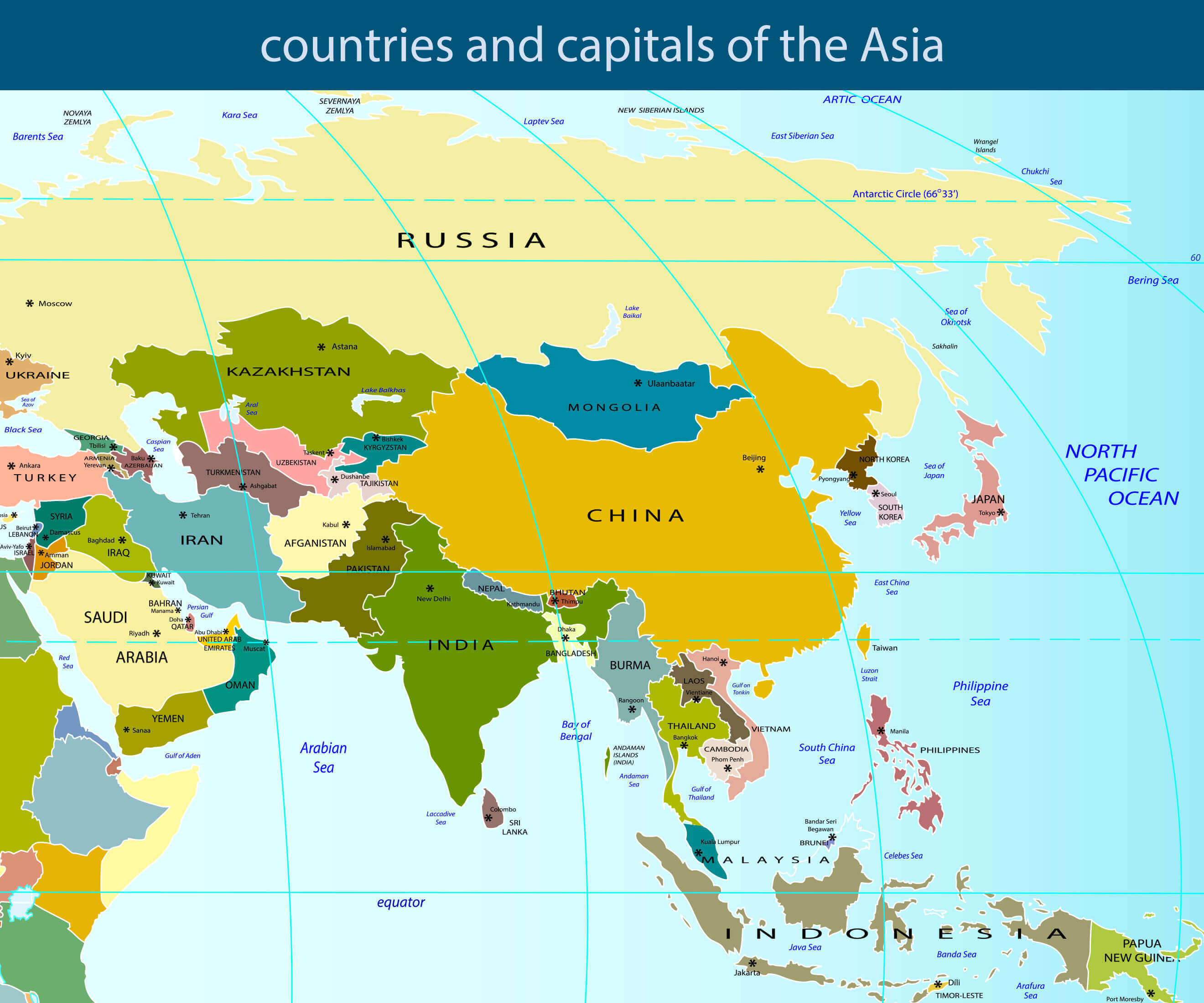
Countries and Capitals of the Asia Vector Map
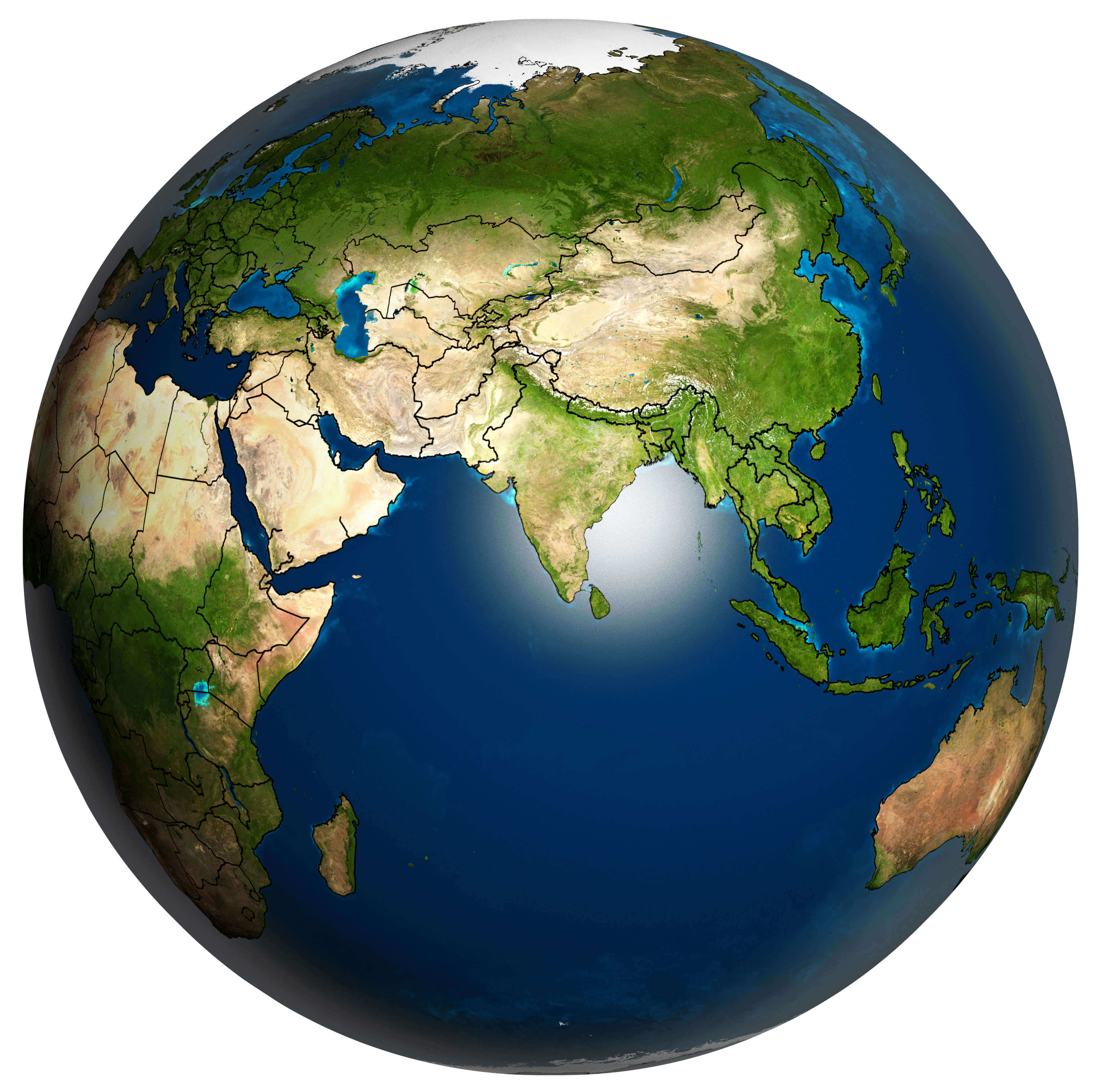
The Earth with Accurate Asia Country Boundaries Map, Image Furnished by NASA
Detailed Earth Map of Asia
Highly detailed Earth Map of Asia, illuminated by moonlight. The glow of cities sheds light on the detailed exaggerated terrain and translucent water of the oceans.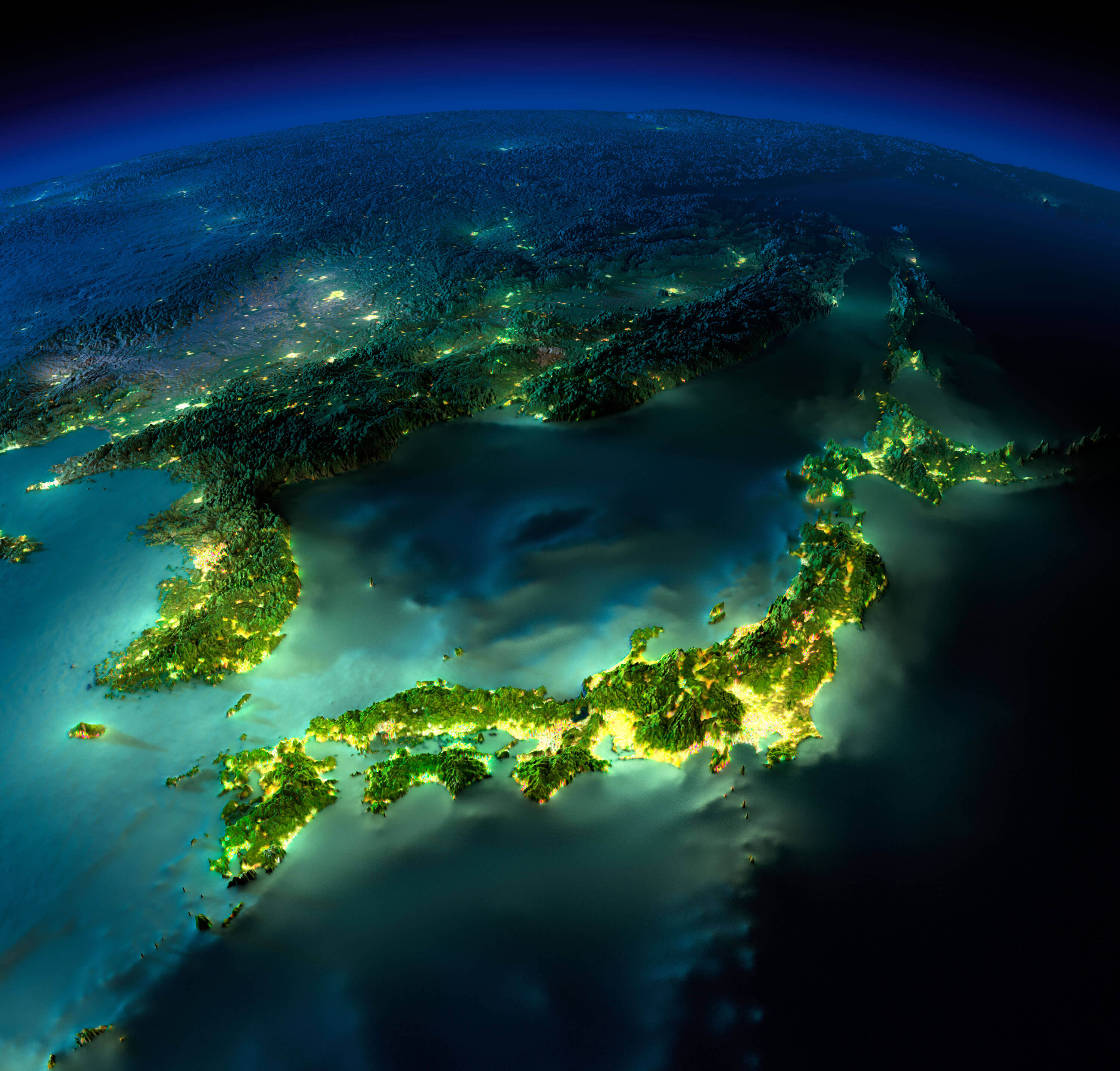
Asia Highly Detailed Map
Asia highly detailed map elements are separated in editable layers clearly labeled.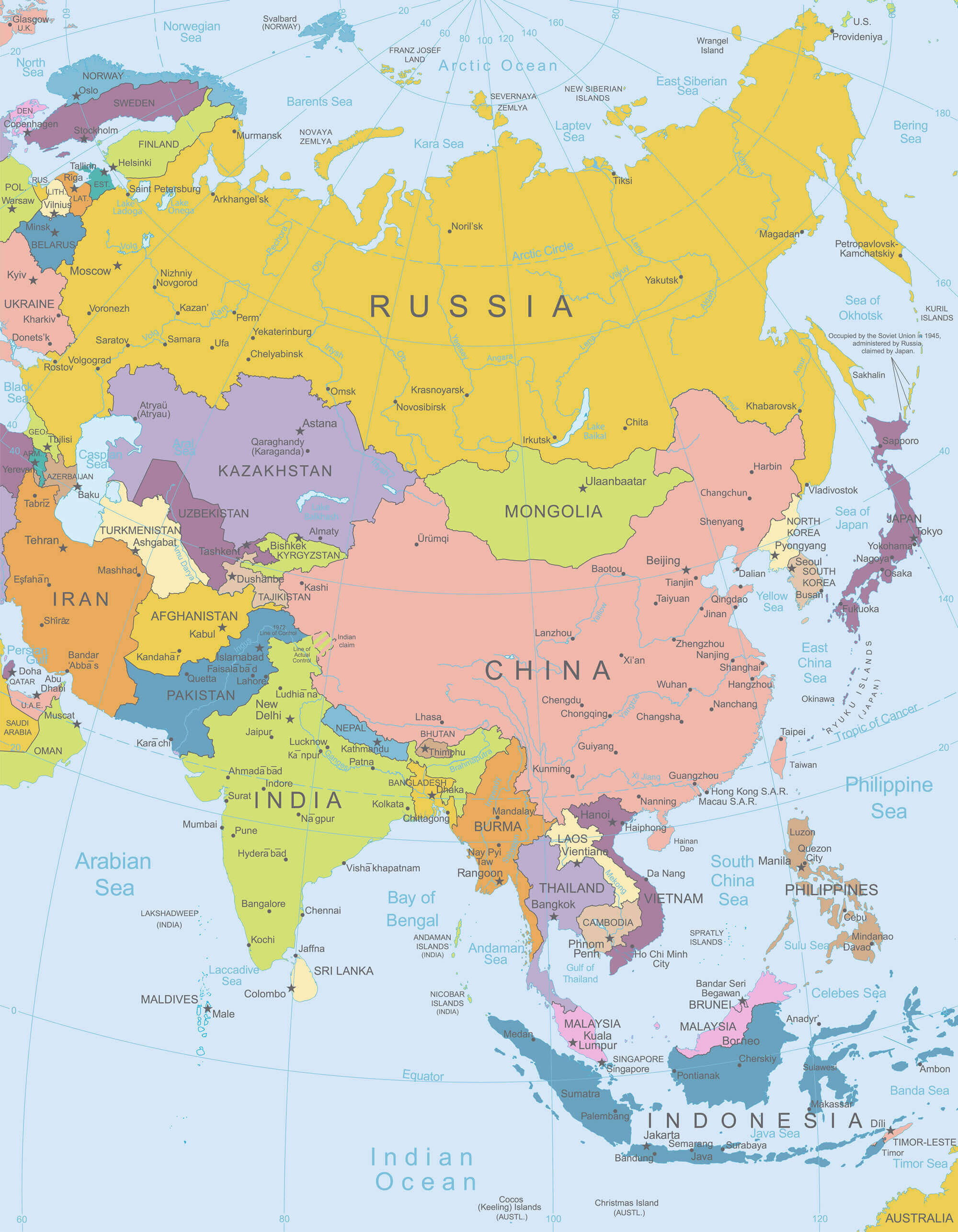
Southeast Asia Political Map
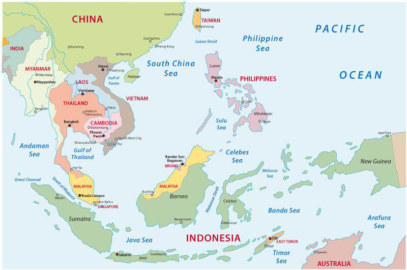
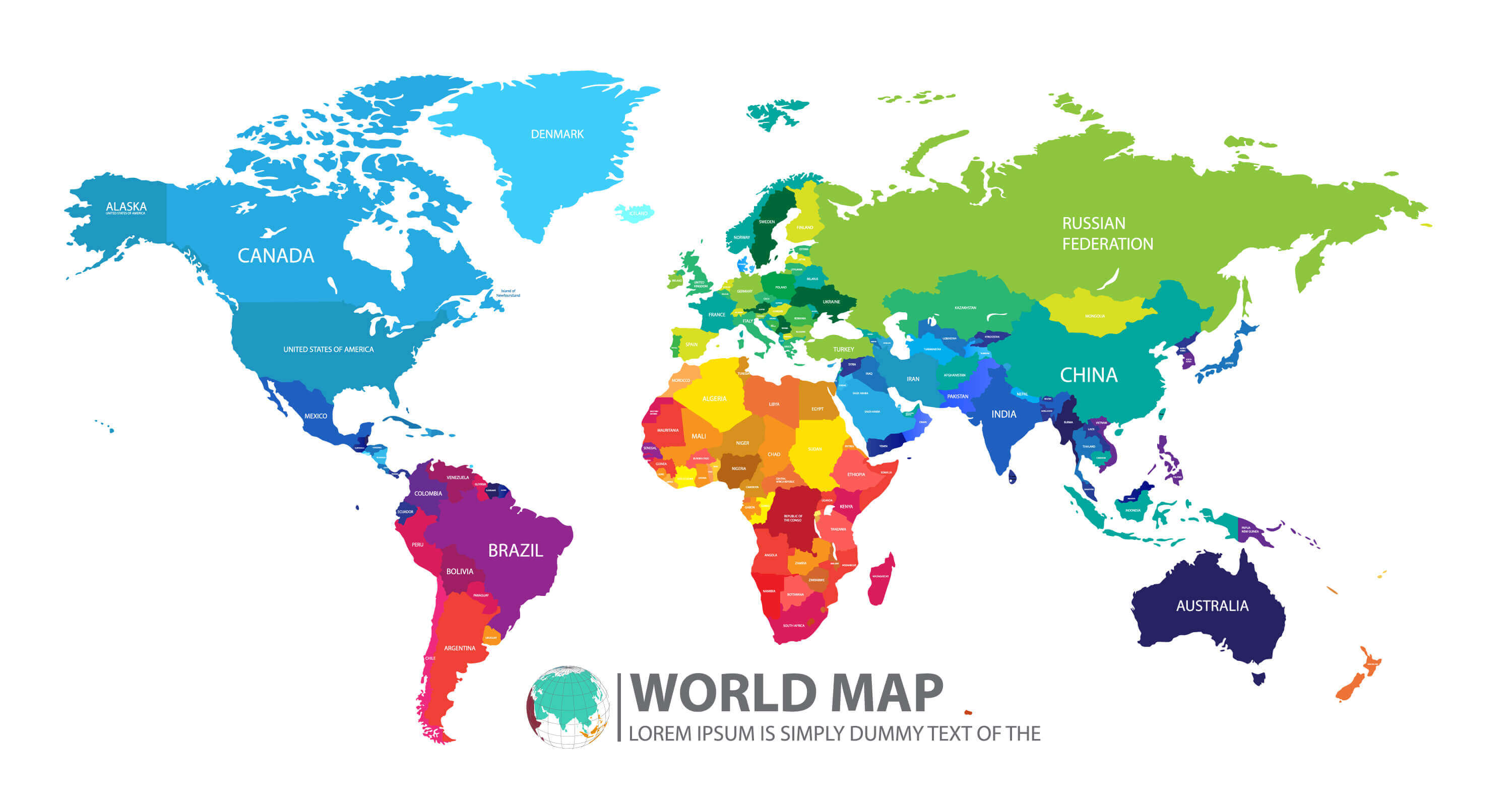
World Map with Asian Countries
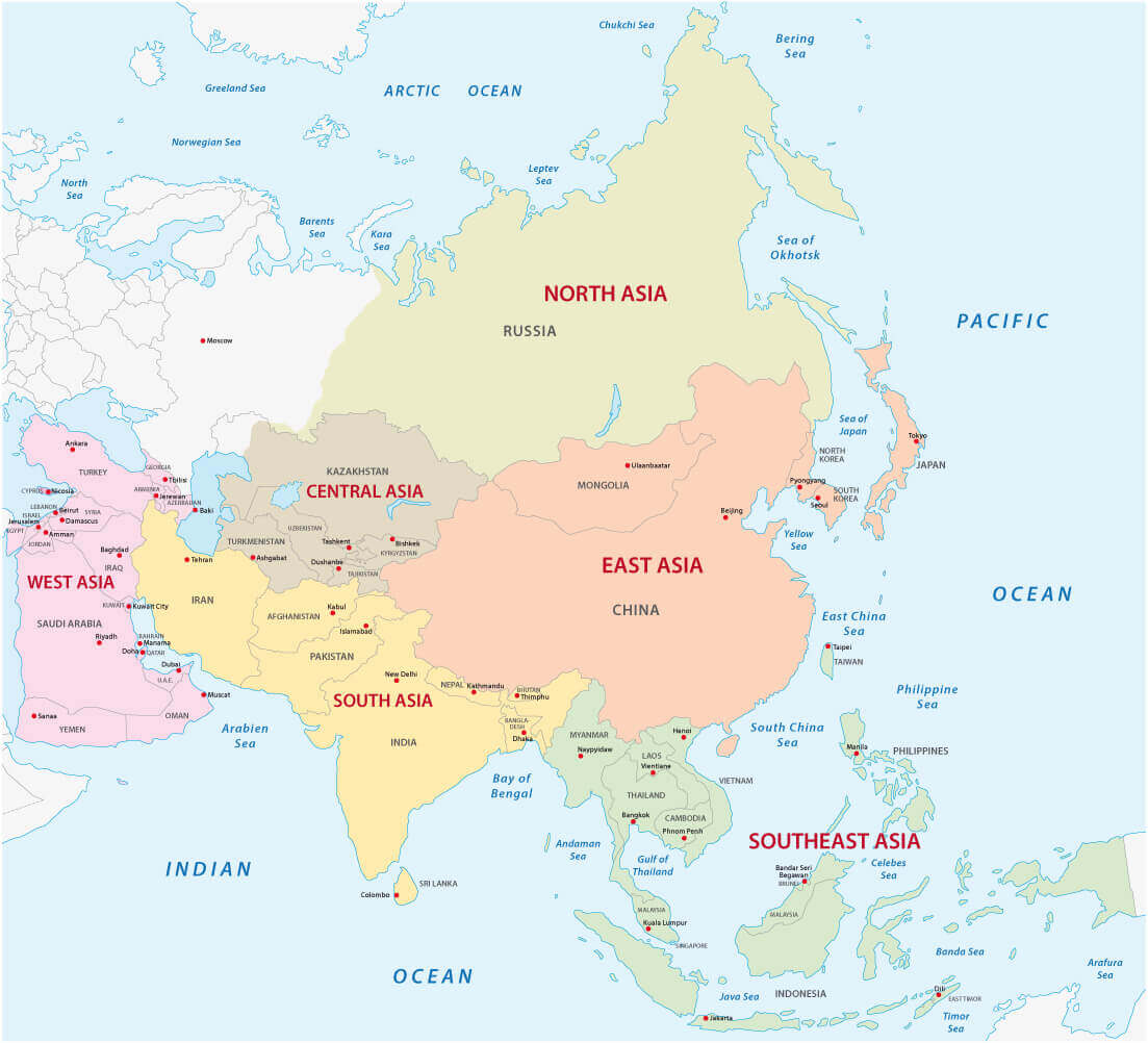
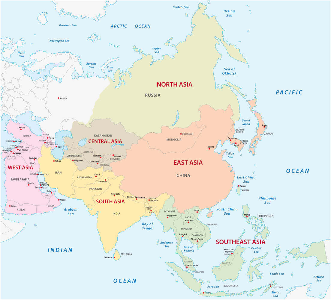
Map of the Asian Sub Regions
Asia Map with the Name of the World Countries
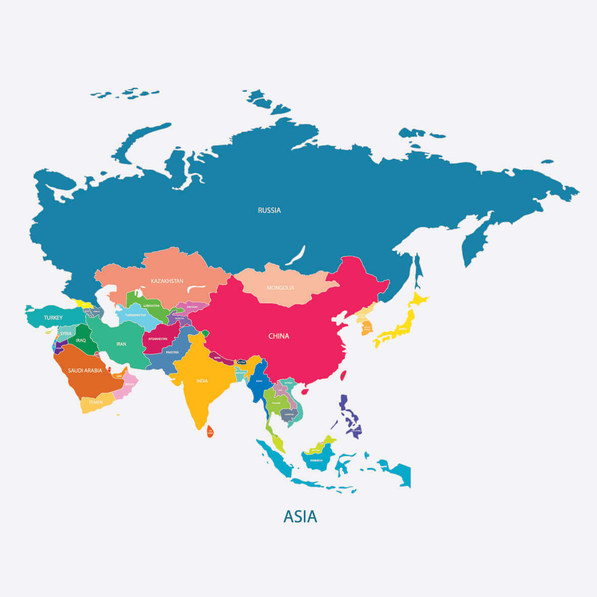
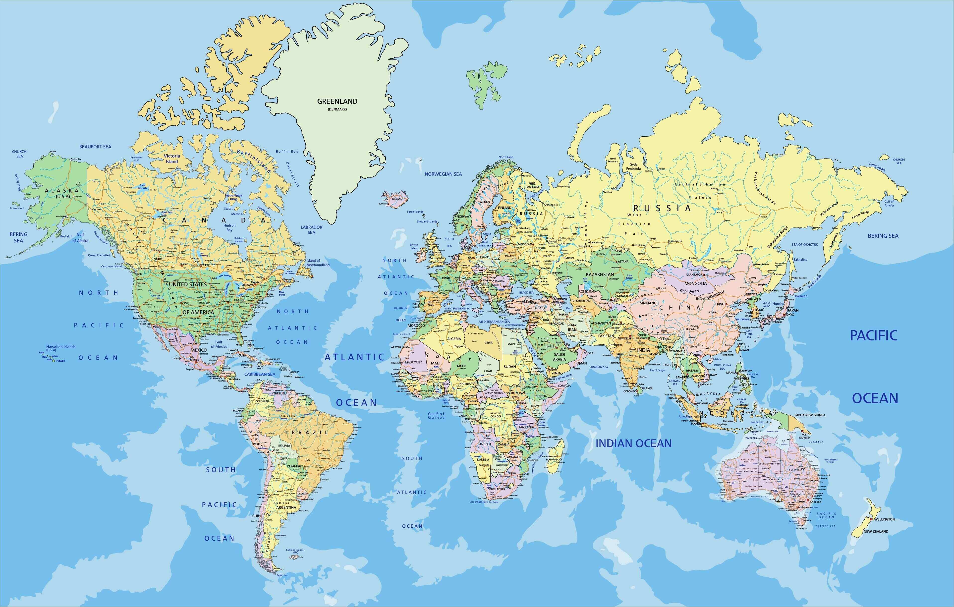
World Countries Asia Map
Asia Map in Gentle Colors, with Wind Rose
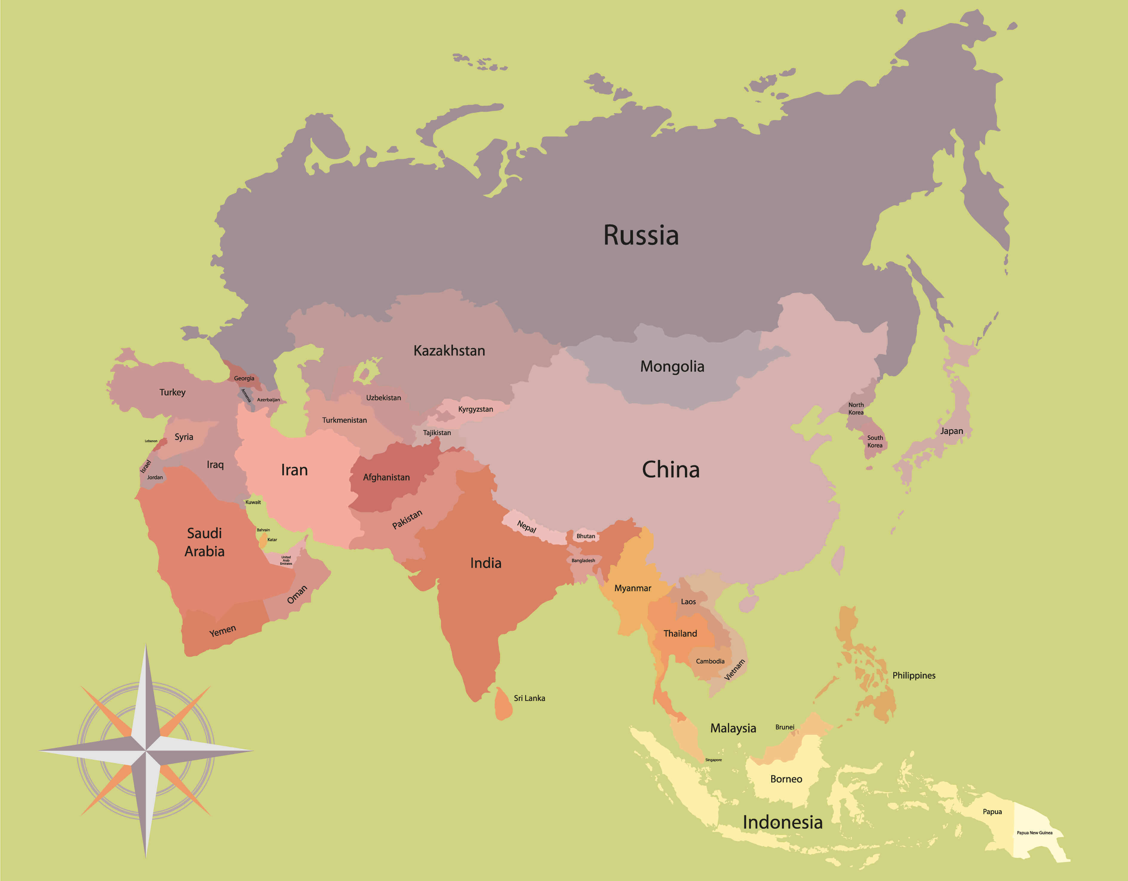
Asia Countries Map
Afghanistan Map Bahrain Map Bangladesh Map Bhutan Map Brunei Map Cambodia Map China Map Saudi Arabia Map Singapore Map South Korea Map Sri Lanka Map Syria Map Taiwan Map Tajikistan Map Thailand Map Turkmenistan Map United Arab Emirates Map Uzbekistan Map Vietnam Map Yemen Map Asia Map East Timor Map Hong Kong Map India Map Indonesia Map Iran Map Iraq Map Israel Map Japan Map Jordan Map Kazakhstan Map Kuwait Map Kyrgyzstan Map Laos Map Lebanon Map Macau Map Malaysia Map Maldives Map Mongolia Map Myanmar Map Nepal Map North Korea Map Oman Map Pakistan Map Palestine Map Philippines Map Qatar Map Russia MapPlease view more Asia Countries Maps
World Top 20 Largest Countries by Population Map
- 1. China Map - 1,439,323,776
- 2. India Map - 1,399,828,108
- 3. United States Map - 333,839,503
- 4. Indonesia Map - 277,749,346
- 5. Pakistan Map - 227,153,261
- 6. Brazil Map - 214,767,569
- 7. Nigeria Map - 213,593,168
- 8. Bangladesh Map - 167,086,674
- 9. Russia Map - 146,025,949
- 10. Mexico Map - 130,911,878
- 11. Japan Map - 125,910,309
- 12. Ethiopia Map - 119,117,925
- 13. Philippines Map - 111,711,419
- 14. Egypt Map - 105,152,003
- 15. Vietnam Map - 98,618,321
- 16. Democratic Republic Congo (DRC) Map - 93,531,207
- 17. Turkey Map - 85,664,955
- 18. Iran Map - 85,563,317
- 19. Germany Map - 84,175,561
- 20. Thailand Map - 68,407,231
Addresse: Hakarinne 2 Espoo, Uusimaa - Finland 02210
Web: istanbul-city-guide.com
Email: [email protected]
Phone: +358 44 934 9129
Web: istanbul-city-guide.com
Email: [email protected]
Phone: +358 44 934 9129
Copyright istanbul-city-guide.com - 2004 - 2025. All rights reserved. Privacy Policy | Disclaimer
