Switzerland Free Printable Map
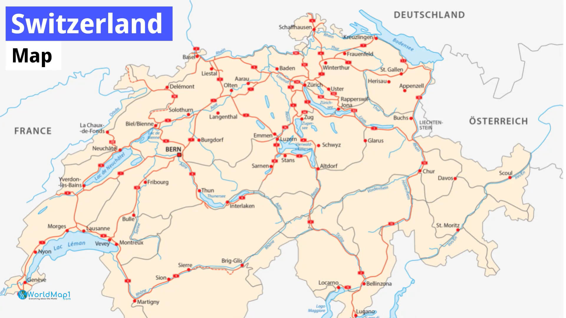
This is a collection of maps showing cities, towns and country boundaries. With the Switzerland cities map, you can find out where the major cities and towns in Switzerland are. You can also use this map to see where the country boundaries of Switzerland are and which expressways and major roads run through them.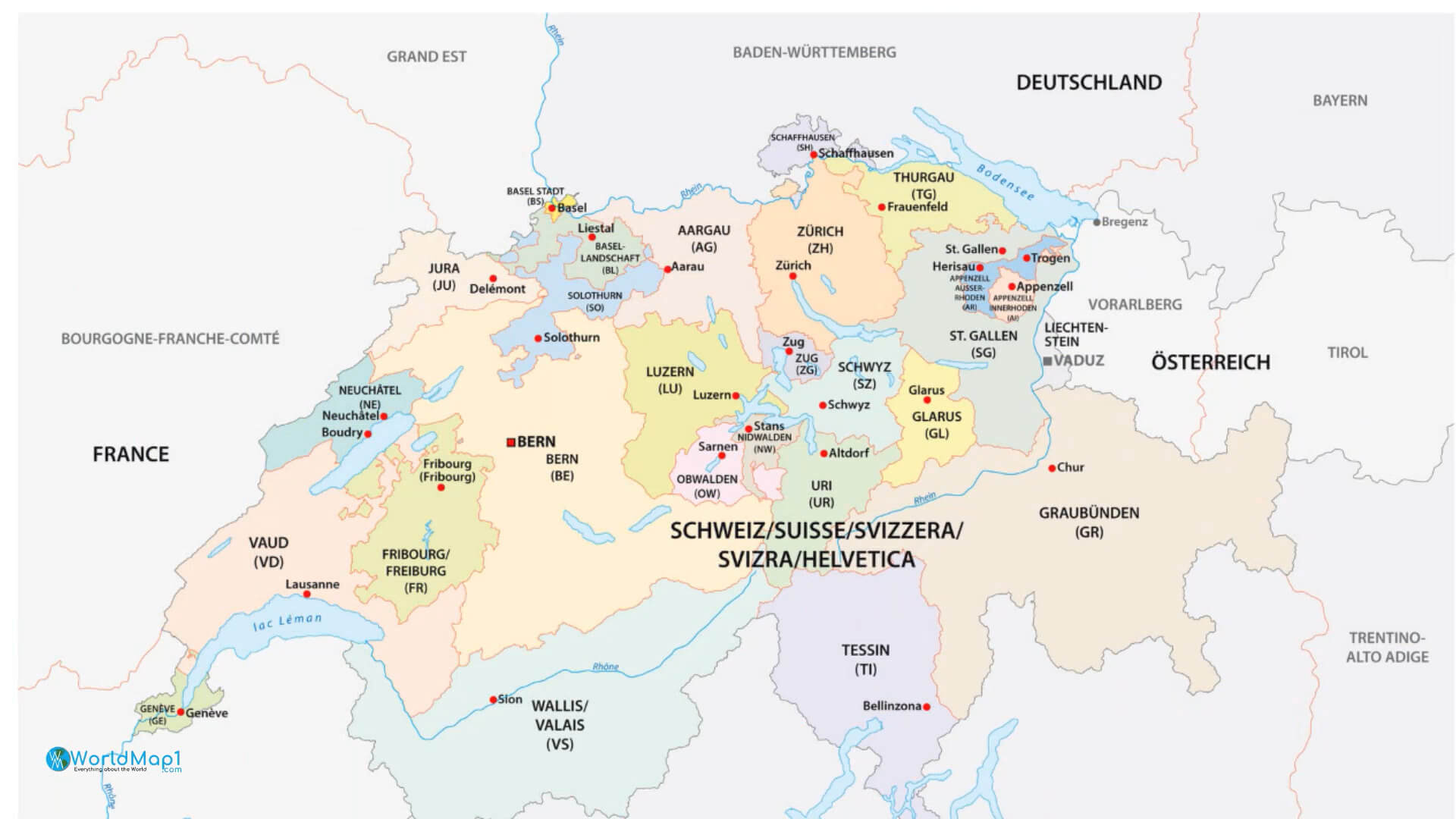
A Collection of Switzerland Maps, and Downloadable Swiss Maps
Please subscribe on "World Guide" channnel on Youtube at youtube.com/c/WorldGuide
Switzerland Detailed Map
This map shows the major cities, roads, expressways and highways that connect them. The names of cities and towns are marked on the map. Major lakes and rivers are also marked as well as expressways and highways.Switzerland Country Map with National Border
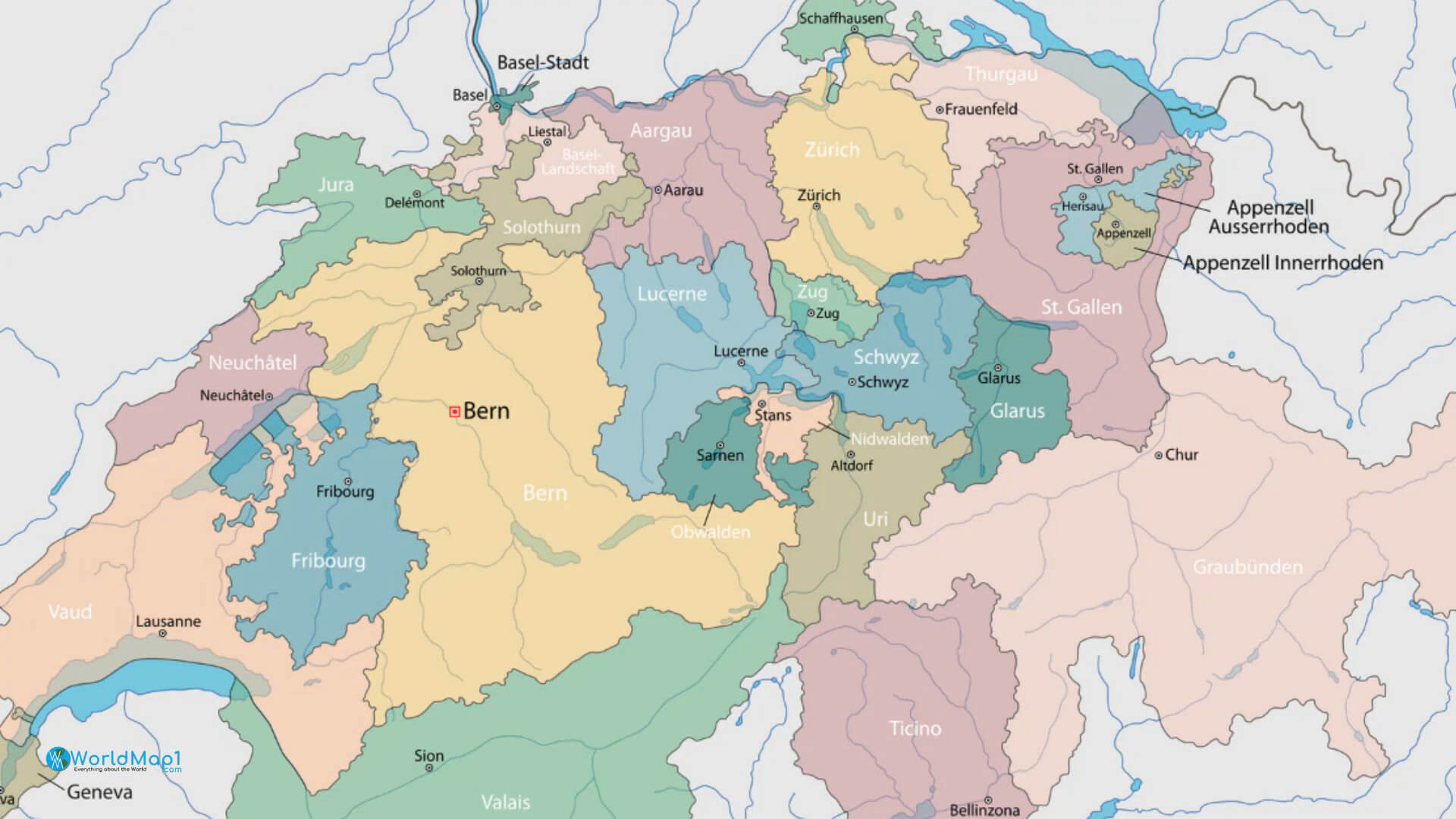
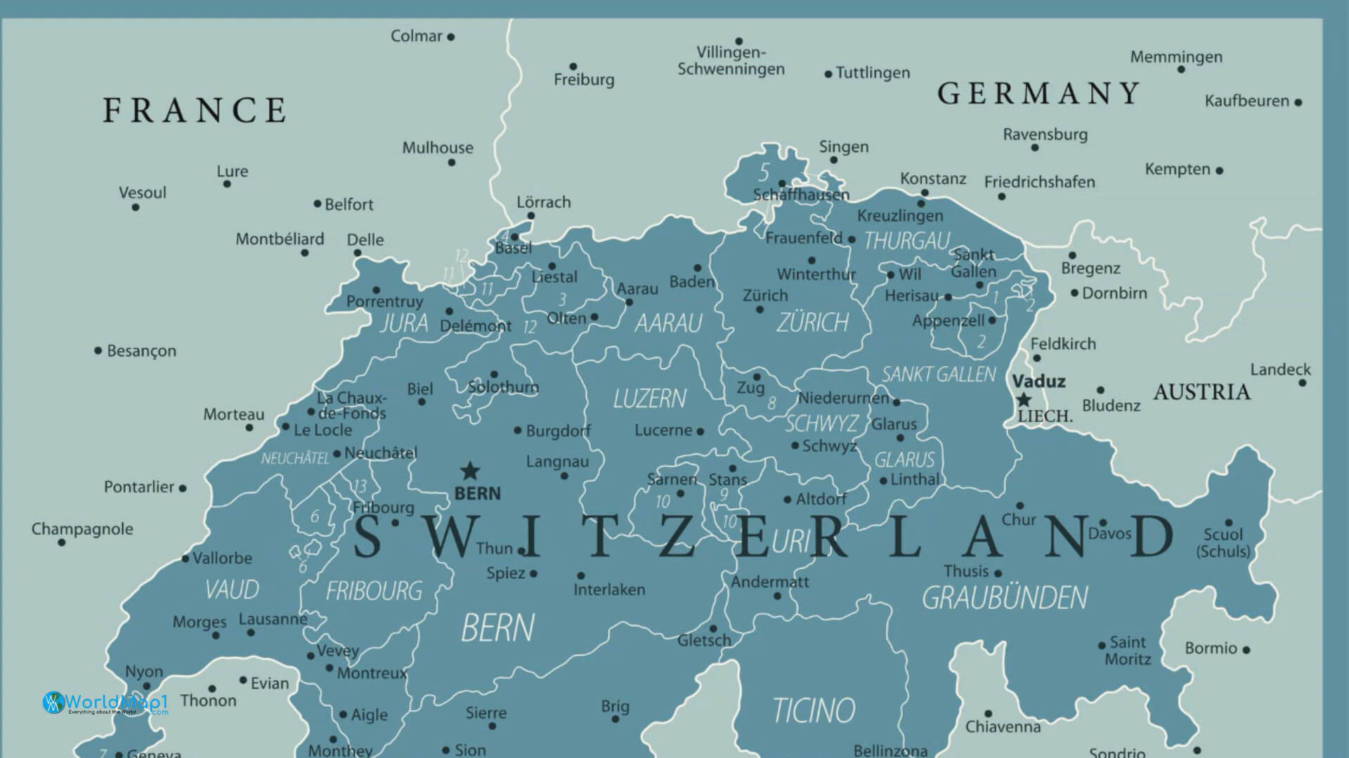
Switzerland France Germany Cities Map
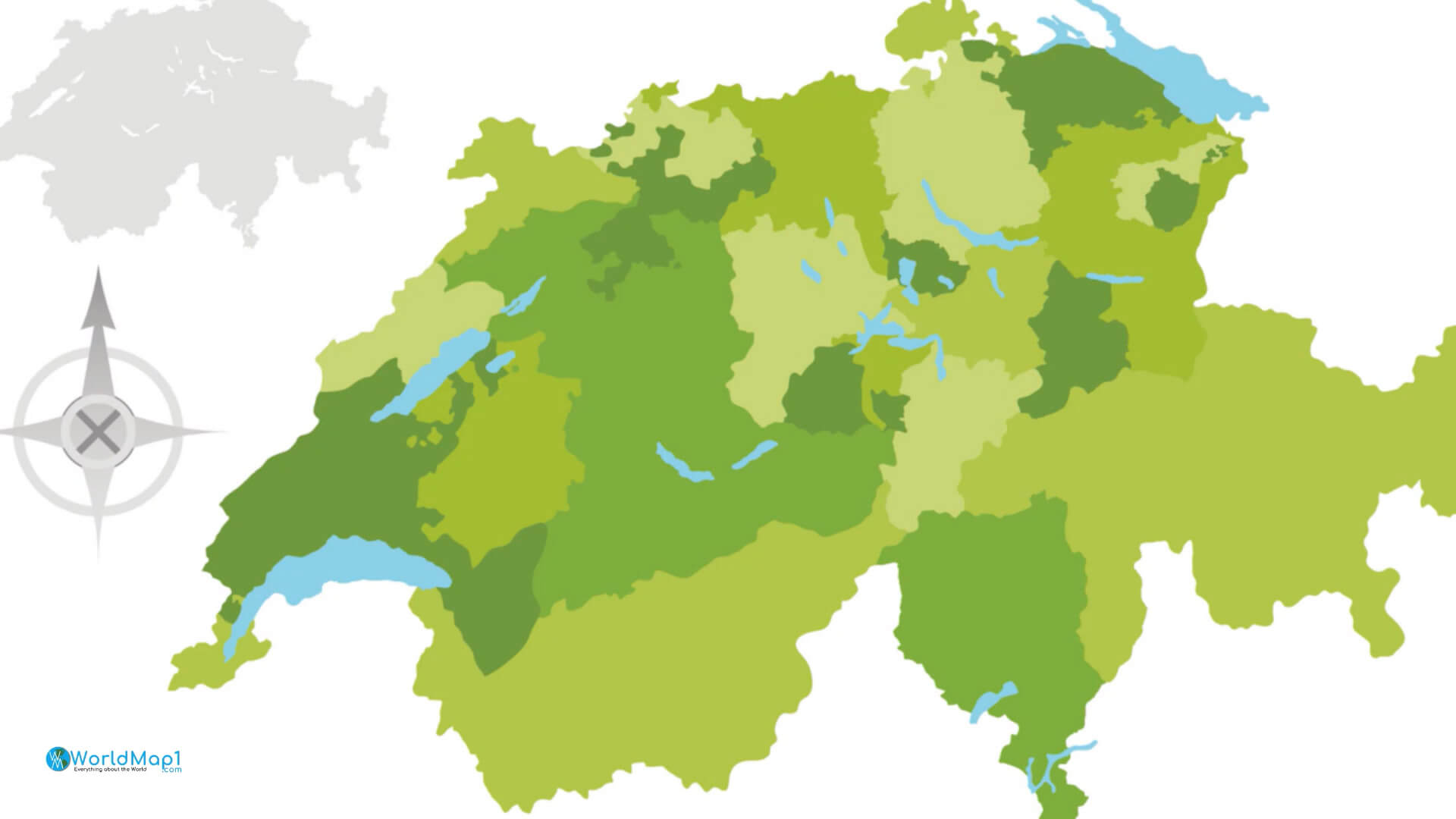
Switzerland Green Cantons Map
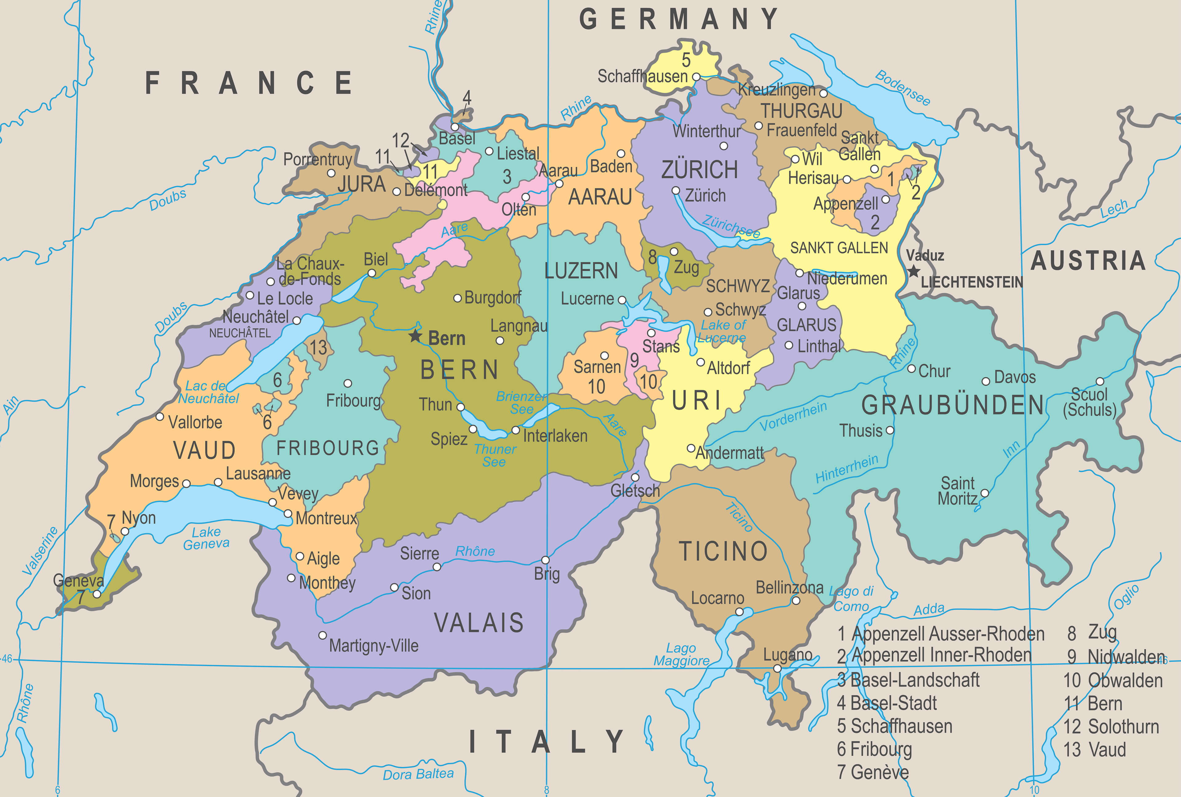
Switzerland Highly detailed political map
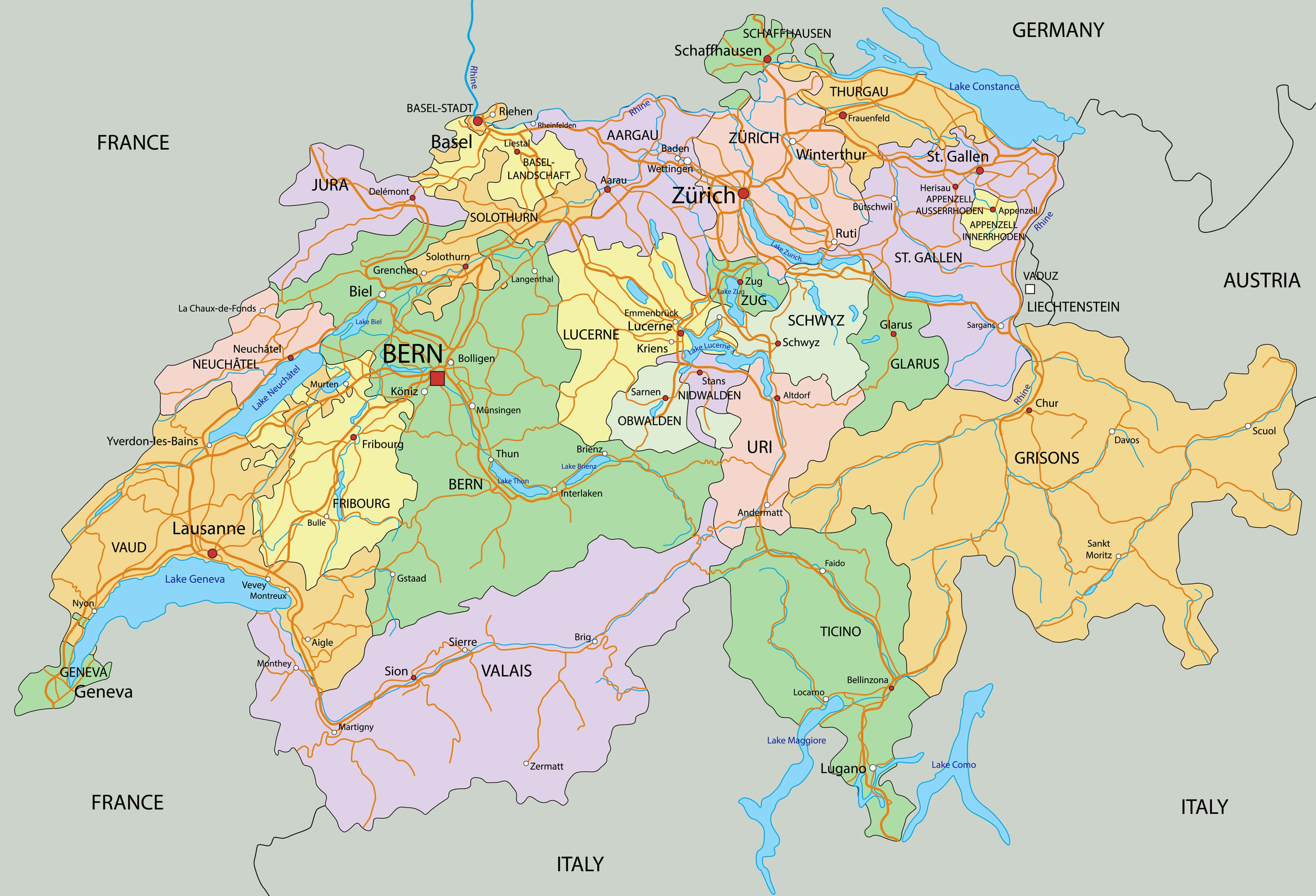
Switzerland Largest Cities and Swiss Alps Map
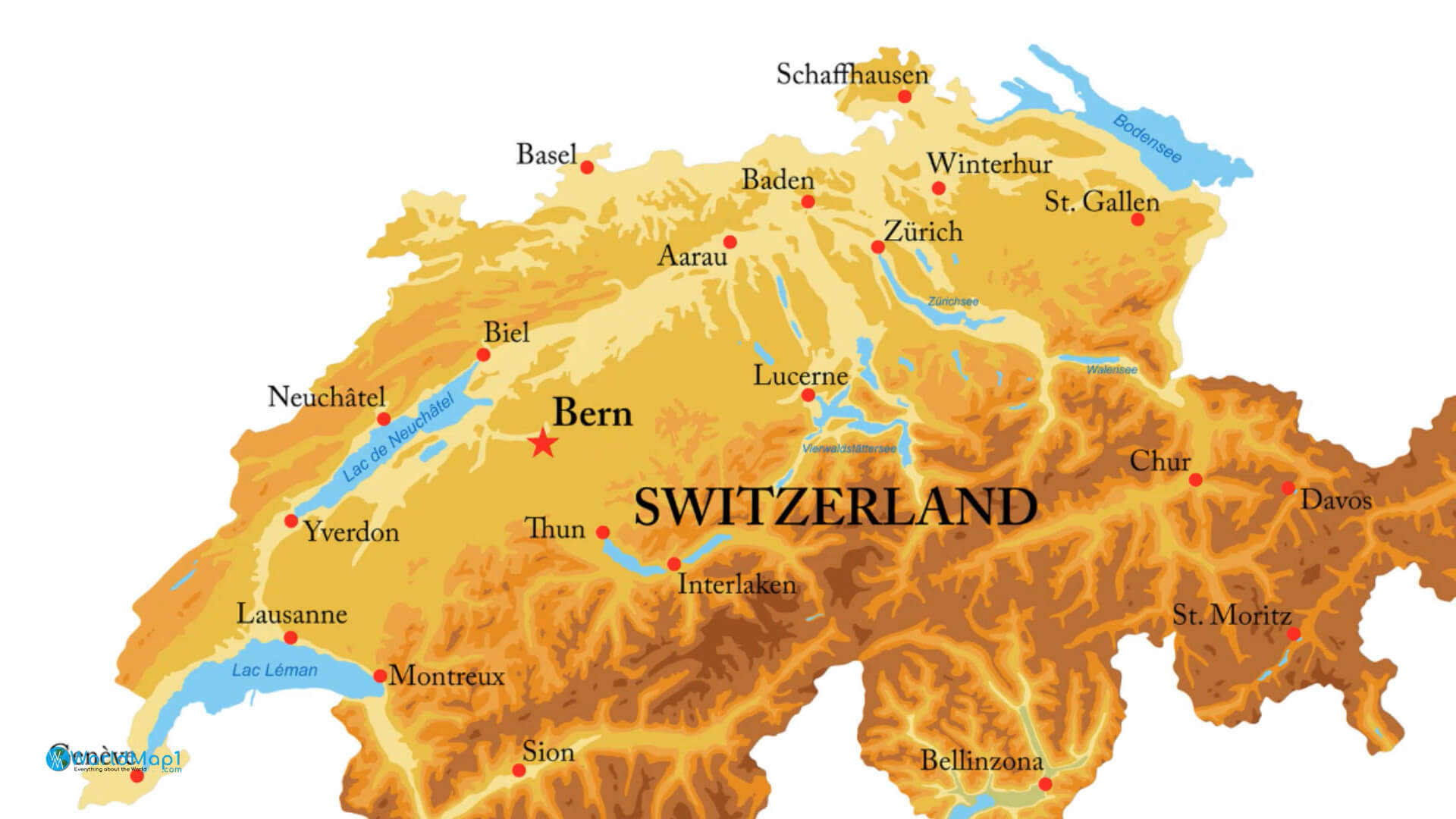
Printable map of Switzerland is free to download
Switzerland is a small country in Central Europe, bordered by Germany, France, Italy and Austria. Switzerland is a federal republic consisting of 26 cantons. The country has a landlocked territory with an area of 40,285 square kilometers (15,776 square miles). It has four official languages: German, French, Italian and Romansh.Please view more Switzerland Cities Aerial Views, Map and Photos
A Collection of Switzerland Maps Switzerland Free Printable Map Where is Located Switzerland in the WorldSwitzerland Largest Cities and Swiss Canton Map
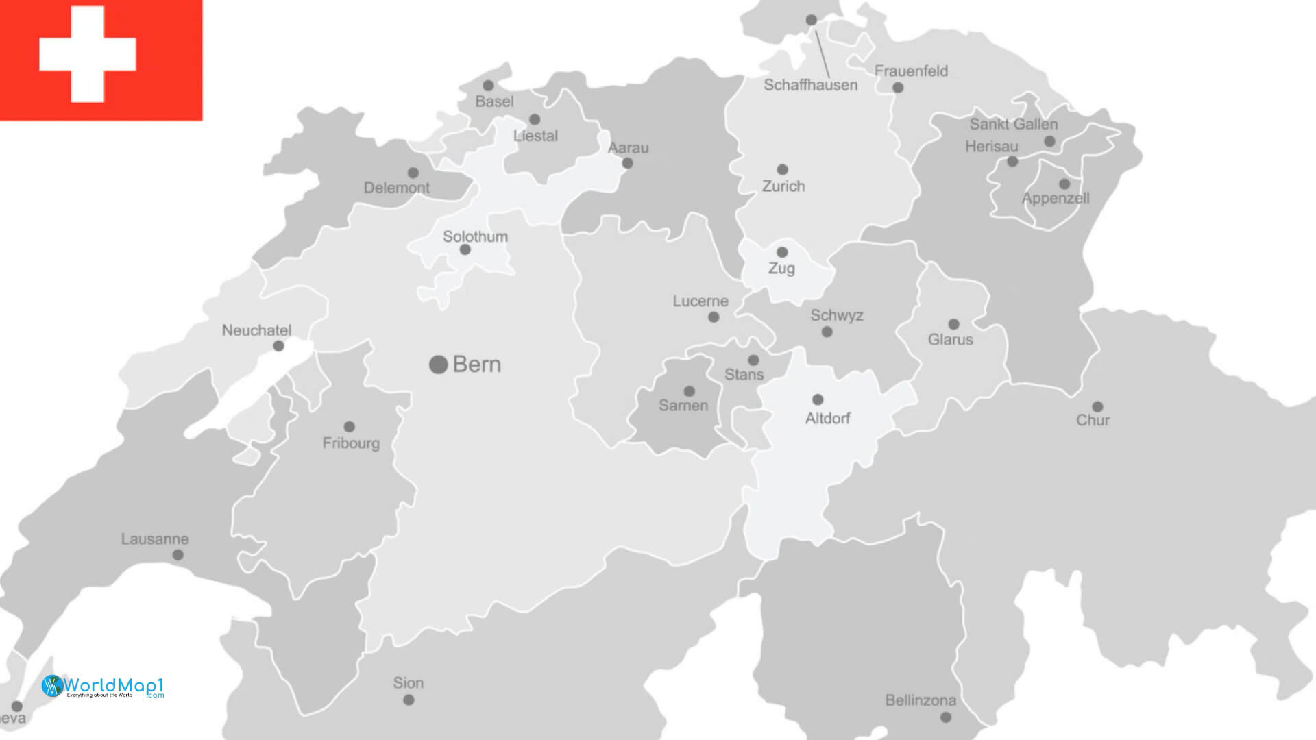
Switzerland Location Map in Europe
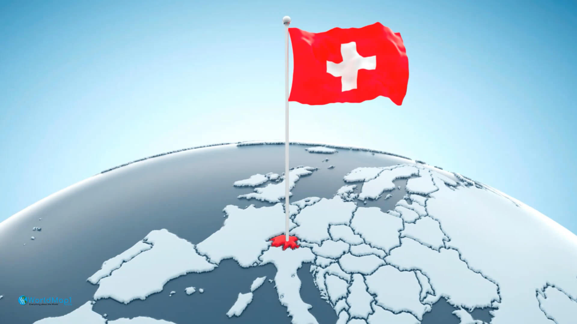
Switzerland Location Map in the World
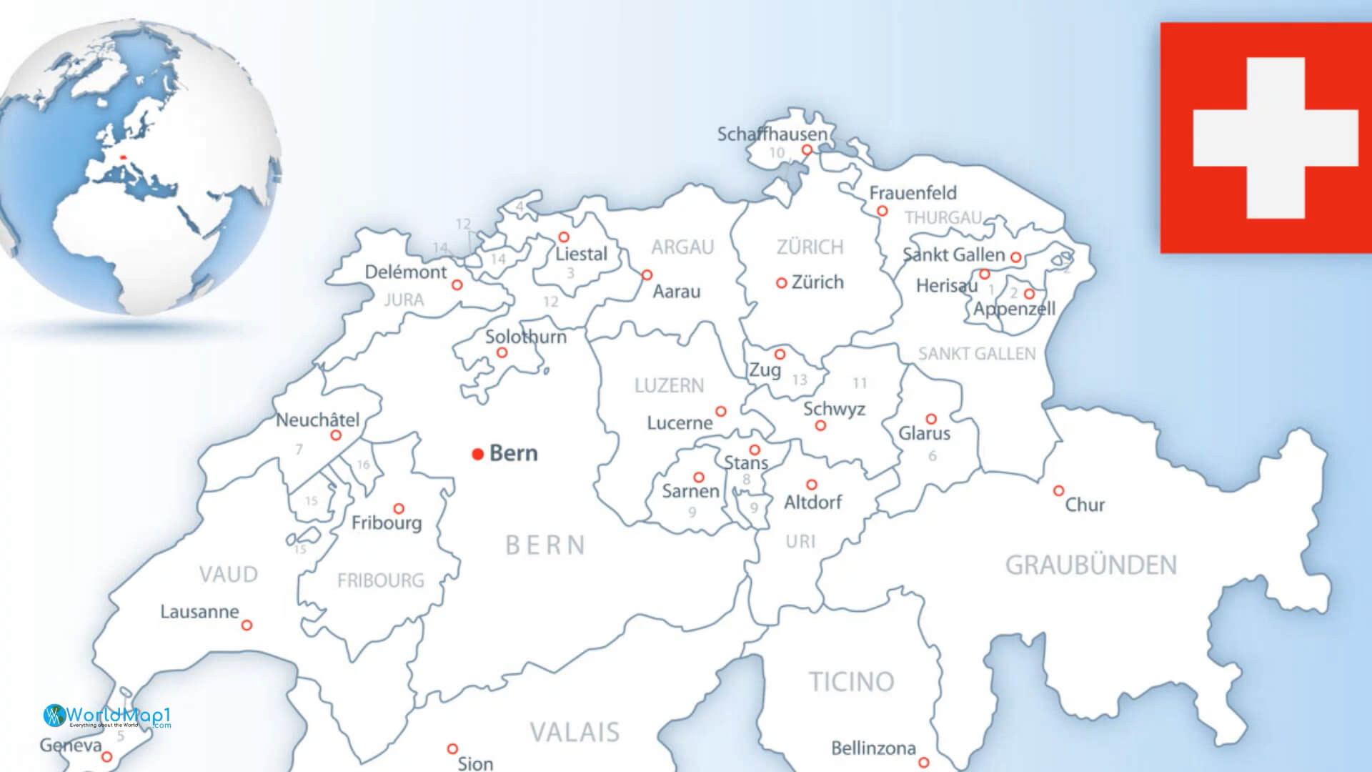
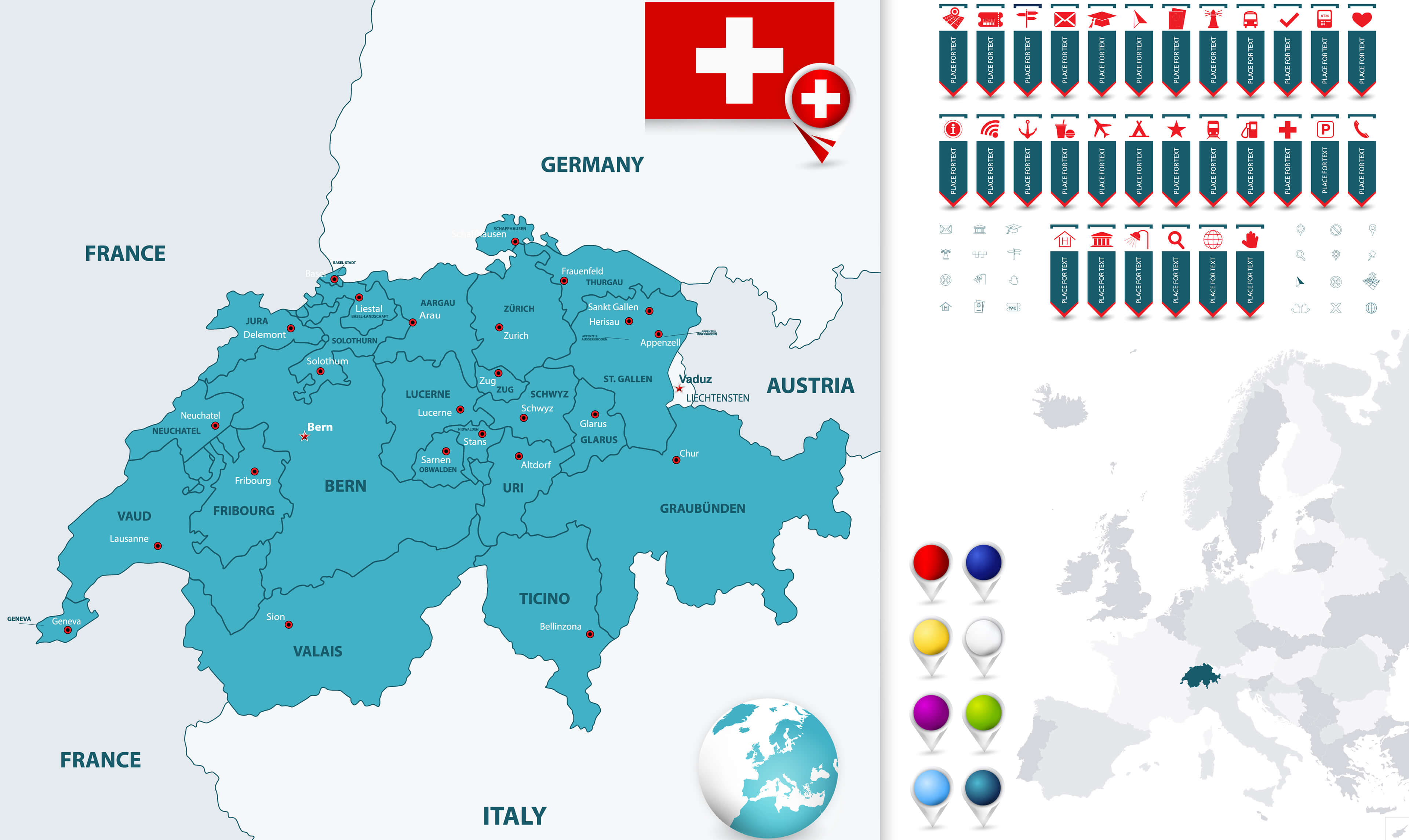
Switzerland Main Cities Map and Swiss Flag
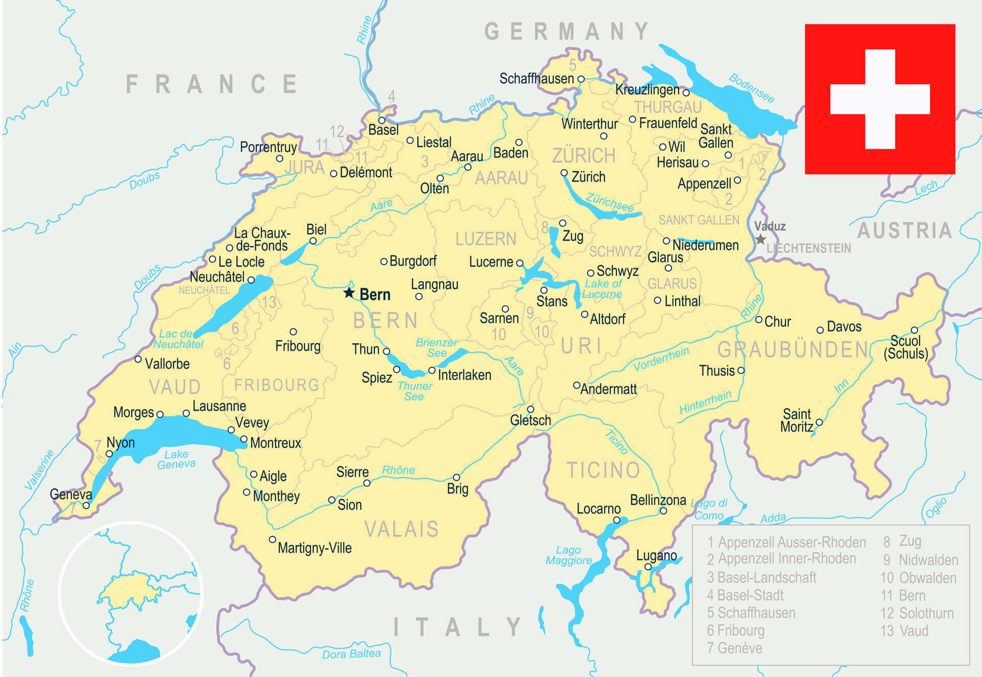
Switzerland Main Cities Map
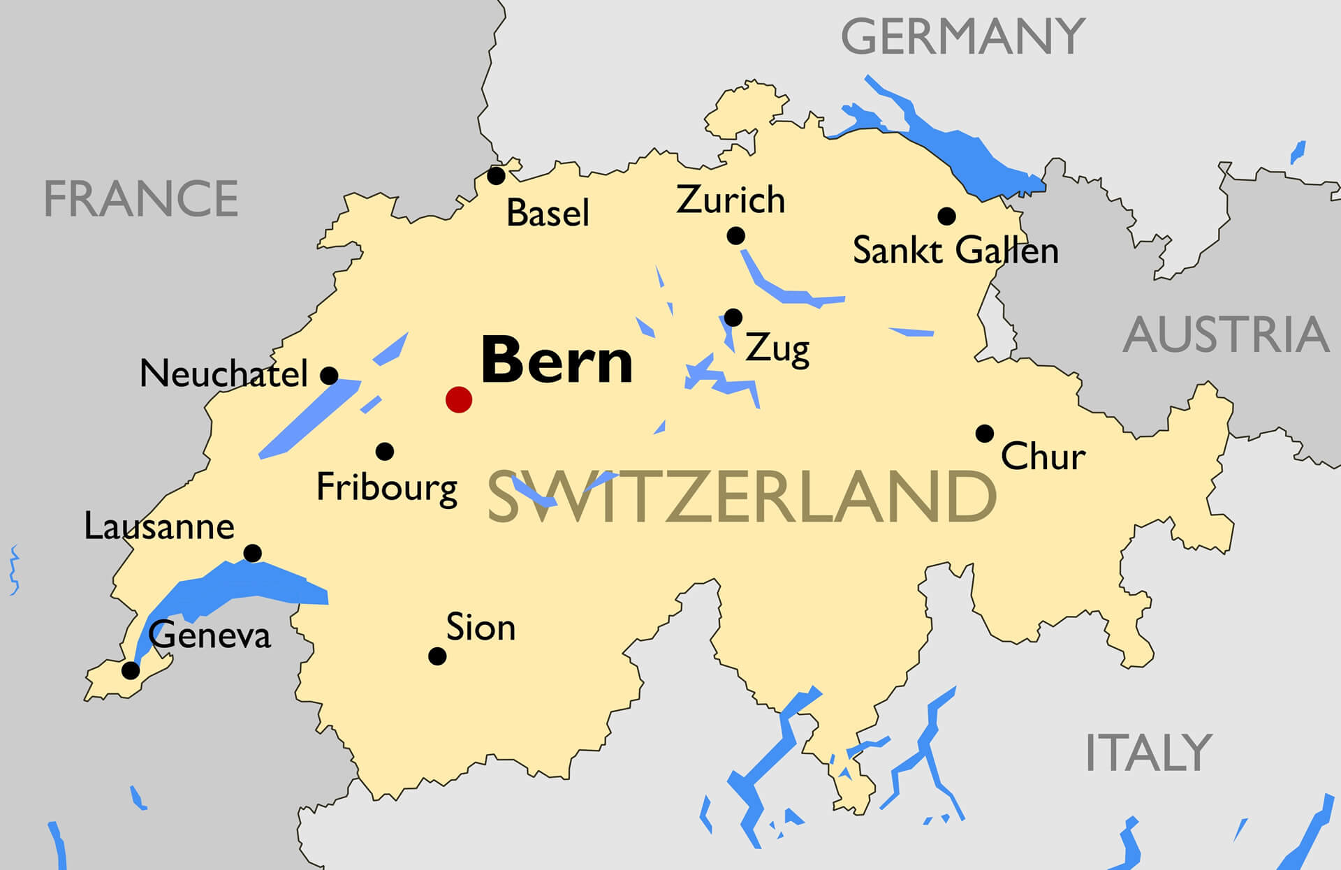
Outline Switzerland Map
The outline Switzerland map shows cities, lakes, major roads and expressways. The map is free to download and print. The map shows the different parts of the country. It is a detailed map of Switzerland with its capital city Bern.Switzerland Main Roads Map
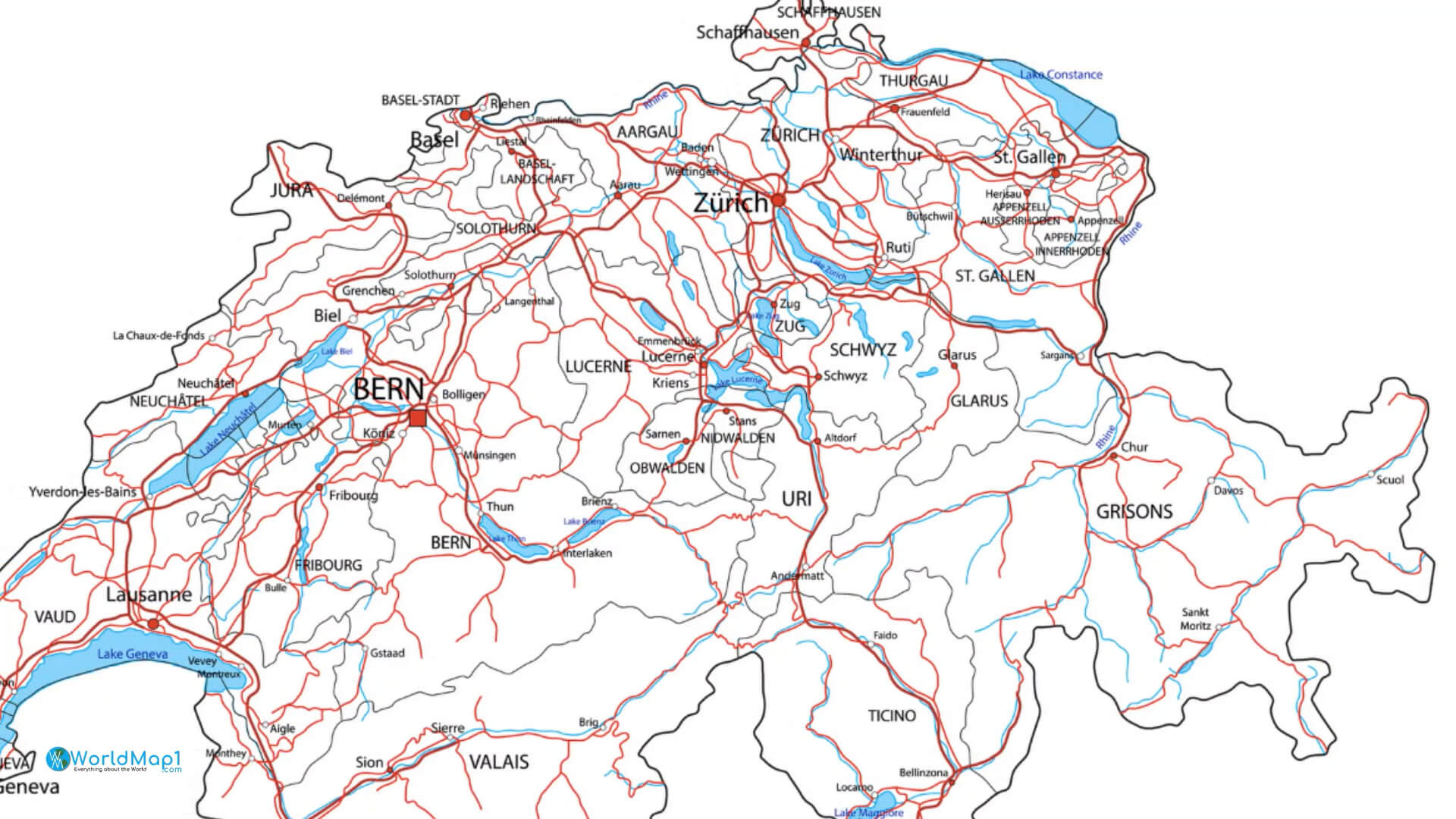
Switzerland Major Cities Map
Switzerland Map - Detailed Vector Illustration
Switzerland Map and Cantons Navigation Map
More switzerland Maps, and switzerland Images from Space
- Head of Performance Marketing
- Head of SEO
- Linkedin Profile: linkedin.com/in/arifcagrici
Addresse: Hakarinne 2 Espoo, Uusimaa - Finland 02210
Web: istanbul-city-guide.com
Email: [email protected]
Phone: +358 44 934 9129
Web: istanbul-city-guide.com
Email: [email protected]
Phone: +358 44 934 9129
Copyright istanbul-city-guide.com - 2004 - 2025. All rights reserved. Privacy Policy | Disclaimer
